
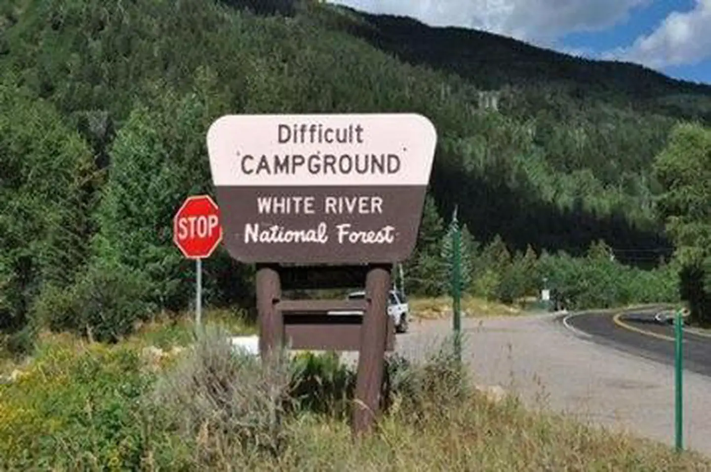
DIFFICULT CAMPGROUND
USFS · Campground · Fee
Fast facts
- Cost
- Fee charged
- Managed by
- USFS
- Type
- Campground
- Reservations
- recreation.gov
- Phone
- 970-927-0107
- Nearest dump station
- Taylor Lagoons Dump Station · 27.1 mi
- Coordinates
- 39.1417, -106.7708
- Last verified
- September 19, 2026
About this place
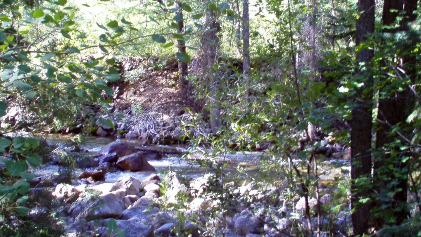
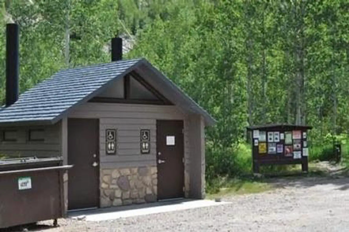
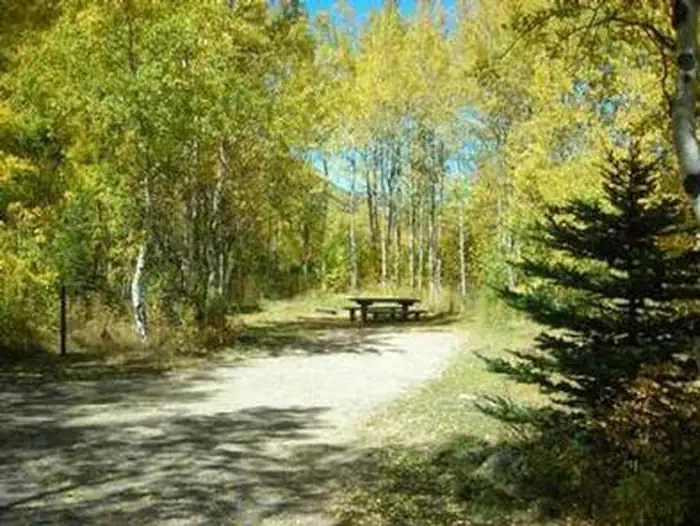
Overview Located 5 miles southeast of Aspen, Colorado, Difficult Campground sits on the banks of the Roaring Fork River on the western slope of the Colorado Rockies. Campsites are nestled in a mixed forest of aspen, cottonwood, pine, fir, scrub oak, and spruce, and several are at the river's edge, offering an ideal setting for guests seeking recreation and relaxation. Recreation Renowned for its fly fishing, the Roaring Fork River sustains populations of large rainbow, brown, cutthroat and brook trout. The nearby peaks and soothing sounds from the river offer anglers a perfect backdrop for an afternoon of fishing. Whitewater adventure seekers may want to raft portions of the Roaring Fork, as it is navigable by small craft throughout most of its length to its confluence with the Colorado. Hikers can access trails near the campground. Facilities Difficult Group site has one site available for reservation: There is no electric hook ups but potable water is available at a spigots inside the main campground. Group Site: facilities include: hardened parking for campers/RV's and passenger vehicles. The site has 1 group size fire ring, 1 pedestal grill, 1 food locker, and 5 picnic tables. Natural Features In the heart of the Rocky Mountains, the 2.3 million acre White River National Forest is a place of serenity and adventure, boasting 8 wilderness areas, 4 defined seasons, and 10 peaks surpassing 14,000 feet in elevation. Wildlife in the area abounds. Bighorn sheep navigate rocky ridges and bull elk bugle at dusk. Scenic rivers sustain populations of cutthroat, rainbow, and brown trout. Alpine regions provide habitat for pika and ptarmigan. These species, along with many others, depend on surrounding undeveloped wilderness, clean streams, and diverse forests to live. The Roaring Fork River flows by the campground, a tributary of the mighty Colorado. Deep, swift and clear, the Roaring Fork rises in the Sawatch Range on the west side of the Continental Divide and drains an area of the Colorado Western Slope called the Roaring Fork Valley. Nearby Attractions The nearby town of Aspen is a popular destination for visitors to the area. From downhill skiing and world-class fly fishing, to dining and resorts, there is a multitude of outdoor and indoor opportunites in this mountain town. Contact Info For facility specific information, please call (801) 226-3564. Charges & Cancellations Once your reservation start date has begun, neither the Recreation.gov Contact Center nor the campground manager will be able to modify your reservation.
From the USFS.Official page
Is DIFFICULT CAMPGROUND free?
No. DIFFICULT CAMPGROUND charges a fee. It is managed by the USFS. Sites are reservable through recreation.gov.
How do I get to DIFFICULT CAMPGROUND?
DIFFICULT CAMPGROUND is at 39.1417, -106.7708. We do not hold written directions for this one, so navigate to the coordinates.
What are the rules at DIFFICULT CAMPGROUND?
5 day stay limit Vehicles over 35 in length are prohibited over Independence Pass but can access the campground via Aspen, CO. Prevent the spread of invasive species by inspecting and cleaning packs, equipment, and tires before using lake or trails. Fire restrictions may be imposed at any time due to hot, dry weather conditions, at which time campfires and charcoal fires may not be allowed.
Nearby
SourceData from the USFS. Last synced September 19, 2026. Community reports and photos are submitted by travelers and are not verified by the agency.
