
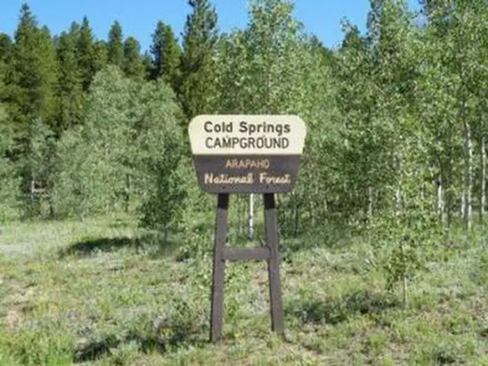
Cold Springs - Arapaho Roosevelt NF (CO)
Campground · Fee not listed
Fast facts
- Cost
- Not listed. Check locally.
- Type
- Campground
- Phone
- 801-226-3564
- Nearest dump station
- Rocky Mountain National Park Dump Station · 36.2 mi
- Coordinates
- 39.8417, -105.4942
- Last verified
- September 19, 2026


About this place
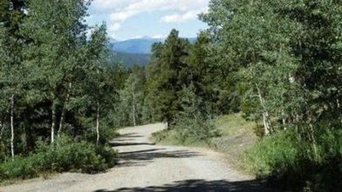
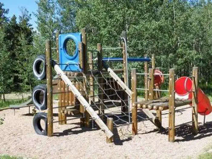
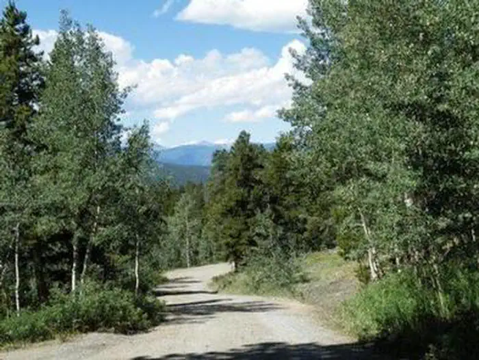
Overview Cold Springs Campground is located on the Arapaho Roosevelt National Forest, north of Blackhawk on the Peak to Peak Scenic Byway/Highway 119, in north central Colorado. Visitors enjoy the area for its scenic and off-road driving, and nearby hiking and fishing opportunities. Recreation The surrounding area has many great hiking trails. There is an easy hiking trail out of the campground for families with small children. In addition, the short, but steep Vista Trail climbs just a quarter-mile but rewards hikers with spectacular views of the vast Mount Evans Wilderness Area and valley below. Scenic driving is available along Highways 119 and 72, known as the Peak to Peak Scenic Byway. Numerous creeks, rivers and lakes in the area provide fishing opportunities. Off-road enthusiasts will find many jeep roads in the vicinity. Facilities There are 38 sites in the campground. Sites 1 through 5 are pull-over's with wooden retaining walls. You climb several steps to reach the picnic tables, fire rings and tent pads. These sites are not suitable for RVs with slide-outs. Sites 9 & 11 are pull-over's which also will not accommodate large RVs or slide-outs. Each site has a picnic table and fire ring or grate. The maximum vehicle length that can be accommodated is 40 feet. Most sites are shaded and the interior roads are gravel. Water hydrants, tent pads, vault toilets and trash service are provided. There is a playground for small children. Natural Features The campground is located in a mountainside aspen and lodgepole pine forest, at an elevation of 9,200 feet. Nearby Attractions The historic mining town of Central City is nearby. Popular events held in the town include Lou Bunch Day and the Central City Opera and Jazz festivals. Golden Gate Canyon State Park is just seven miles away. The scenic park offers over 35 miles of hiking trails. Mountain biking and horseback riding are allowed on some trails. Every stream and pond in the park is open to fishing. Contact Info For facility specific information, please call (530) 529-0578. Charges & Cancellations Modifications for this campground must be made through Recreation.gov or by calling the call center at 1-877-444-6777 PRIOR to your reservation start date. Customers and contact center agents cannot modify reservations on or after the check-in date.
From the managing agency.
Is this site free?
We do not have a fee on record for this site. Confirm the cost locally before you go.
How do I get to this site?
this site is at 39.8417, -105.4942. We do not hold written directions for this one, so navigate to the coordinates.
Nearby
SourceSource data is agency published. Last synced September 19, 2026. Community reports and photos are submitted by travelers and are not verified by the agency.
