
BLANCO RIVER GROUP CAMPGROUND
USFS · Campground · Fee
Fast facts
- Cost
- Fee charged
- Managed by
- USFS
- Type
- Campground
- Hours
- May - September
- Reservations
- recreation.gov
- Phone
- 970-264-2268
- Coordinates
- 37.1453, -106.8831
- Last verified
- September 19, 2026
About this place
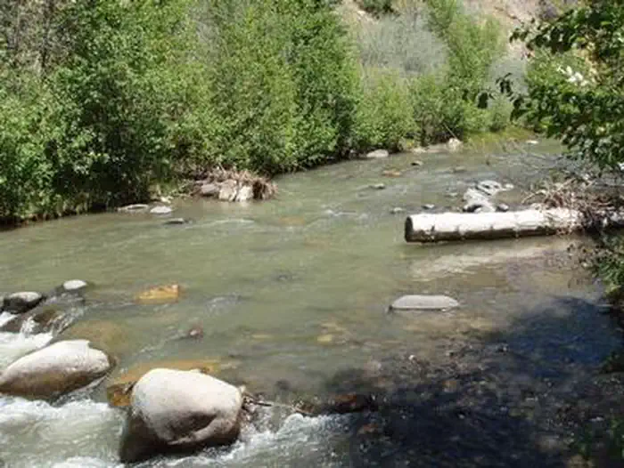
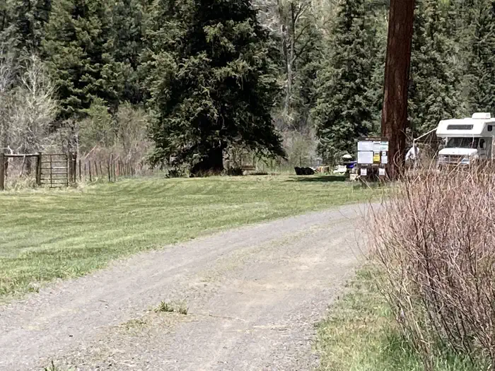
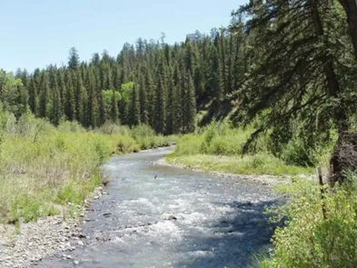
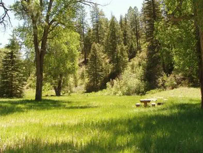
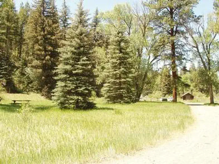
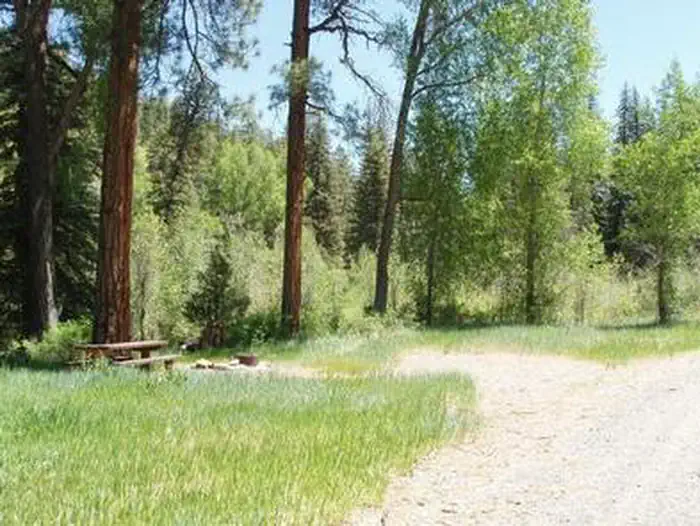
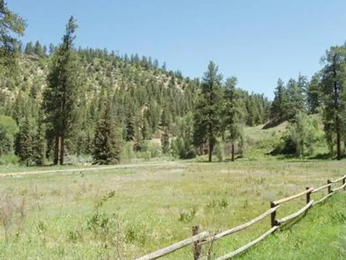
Overview Blanco River Group Campground is located four miles off U.S. Highway 84, on Forest Road 656. It is about 15 miles southeast of Pagosa Springs, on the Blanco River. The campground is a convenient stopping point between the towns of Chama, N.M., and Pagosa Springs, Colo. Secluded and quiet, the campgound is an ideal place for family and friends to gather. Recreation The Blanco River can be accessed from the campground, offering good fishing. Anglers cast for stocked trout on the lightly fished waterway. A volleyball court is located within the campground, but campers must bring their own net and ball. Facilities The campground offers one group site that is made up of several single campsites. They must be reserved at the same time for group use. Four parking spurs are suitable for large RVs and ample space is available for tents. The campground is equipped with three picnic areas with large tables, vault toilets and drinking water. The Blanco River Group Campground is a convenient stopping point between Chama, New Mexico, and Pagosa Springs, about 15 miles southeast of Pagosa Springs. This group campground offers one group site, accommodating up to 100 people but no individual sites. The river bottom area is fairly level, and 4 sites are suitable for large-sized RVs (max size = 35ft). Several large ponderosa pines offer shade, but the area is quite warm in summer. This spot is quite a gem as visitors get a mile of river to themselves, along with 15 acres of forest fenced off to play and camp in. Anglers cast for stocked trout on the lightly fished waterway. Amenities include trash pick-up, fire grates, horseshoe pits, and a volleyball court but campers must bring their own net and ball. Natural Features The campground is situated on the banks of the Blanco River, surrounded by ponderosa pine and cottonwoods. The trees offer shade, but the area is quite warm during the summer months. The riparian environment is fairly level with a few adjacent grassy meadows. Contact Info For facility specific information, please call (661) 702-1420. Nearby Attractions Three nearby trails access the roadless area to the east of the campground. The Navajo Peak Trail and V-Rock Trail can be reached from the Buckles Lake Road (Forest Road 663), which is located about seven miles south of the campground via Highway 84. The Blanco Basin Road (Forest Road 657) accesses the Leche Creek Trail. Charges & Cancellations Group Sites Group Facility (including Cabins and Lookouts): A visitor who cancels a group overnight facility reservation less than 14 days before the arrival date will pay a $10.00 service fee AND forfeit the first night's use fee. No-Shows A no-show visitor is one who does not arrive at a campground and does not cancel the reservation by check-out time on the day after the scheduled arrival date. Staff will hold a campsite until check-out time on the day following the arrival date. No-shows are assessed $20.00 service fee and forfeit the first night's rate, taxes and applicable add-on for a campsite. Refunds Visitors may submit a refund request through their Recreation.gov profile within 7 days of the end date of their reservation. Refunds will not be issued after the 7 days has ended. Refunds for debit or credit card payments will be issued as a credit to the original bank or credit card used to pay. For check or cash purchases, Recreation.gov will mail a Treasury check for refunds of cash, check, or money order payments to the address associated with the reservation. Treasury check refunds may take up to 6-8 weeks to arrive. In the event of an emergency closure, the Recreation.gov team or facility manager will refund all fees and will attempt to notify you using the contact information within the Recreation.gov visitor profile.
From the USFS.Official page
Is BLANCO RIVER GROUP CAMPGROUND free?
No. BLANCO RIVER GROUP CAMPGROUND charges a fee. It is managed by the USFS. Sites are reservable through recreation.gov.
How do I get to BLANCO RIVER GROUP CAMPGROUND?
From Pagosa Springs, CO: Travel south on Highway 84 about 11.5 miles. Turn left onto Forest Rd. 656. Campgrond is located approximately 2 miles down FR 656. Blanco River Group Campground (This sketch map is not drawn to scale.)
What are the rules at BLANCO RIVER GROUP CAMPGROUND?
Max RV size = 35 ft
Nearby
- East Fork Campground (San Juan NF - CO)15.8 mi
- East Fork Campground15.8 mi
- WEST FORK CAMPGROUND20.7 mi
- Ute Campground22.0 mi
- Ute Campground (CO)22.0 mi
- ELWOOD CABIN22.4 mi
- Stunner Campground23.4 mi
- Mix Lake Campground23.8 mi
No other services within 50 mi on the record.
SourceData from the USFS. Last synced September 19, 2026. Community reports and photos are submitted by travelers and are not verified by the agency.
