
BABY DOE
Campground · Fee
Fast facts
- Cost
- Fee charged
- Type
- Campground
- Phone
- 719-486-0749 (INFORMATION ONLY, NO RESERVATIONS)
- Nearest dump station
- Taylor Lagoons Dump Station · 32.7 mi
- Coordinates
- 39.2697, -106.3506
- Last verified
- September 19, 2026


About this place
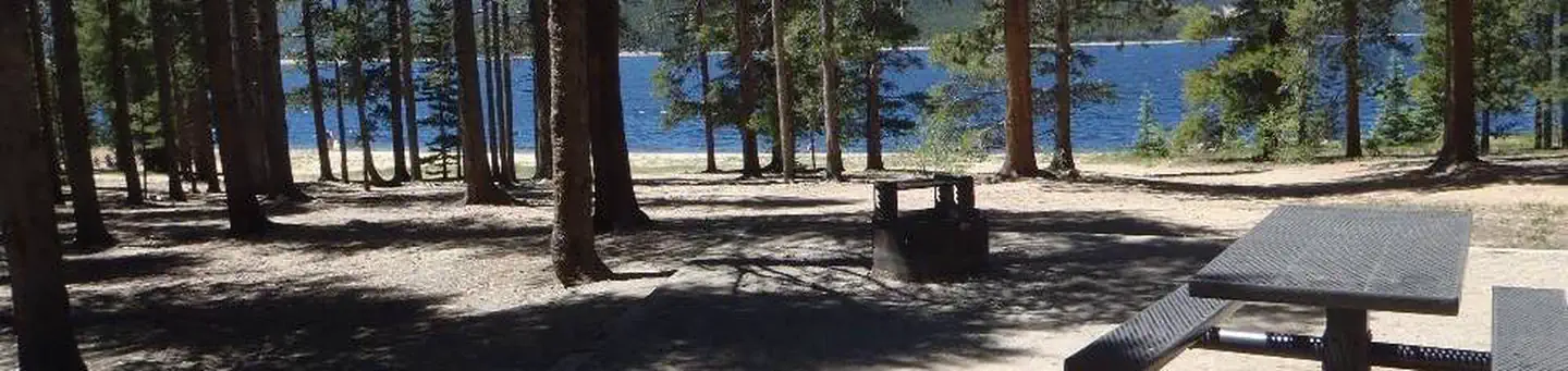
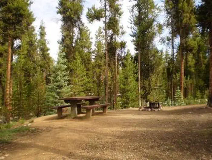
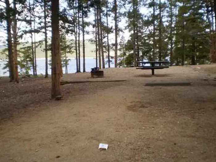
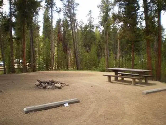
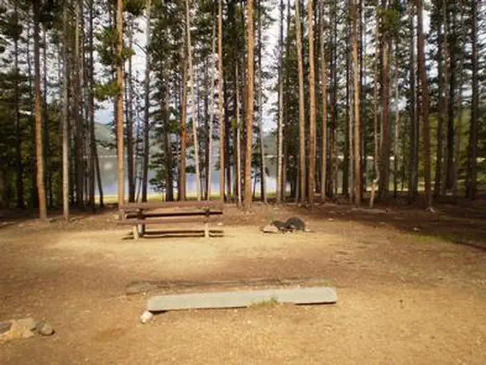
Overview Baby Doe Campground is situated on the eastern shore of Turquoise Lake in the shade of a lodgepole pine and subalpine fir forest. This family-friendly campground is a popular summer destination for boating, hiking and fishing. The campground was named for Elizabeth McCourt, whose nickname was Baby Doe. She made a name for herself in the Colorado mining community in the 19th century when she took on the rugged work of a miner. Recreation The 1.2-mile Turquoise Lake Nature Trail meanders along the shoreline is a gentle loop trail through the forest and down to the shoreline of Turquoise Lake. This trail connects to the 6.4-mile Turquoise Lake Trail that parallels the shoreline from Sugar Loaf Dam to May Queen Campground. Trail guides are available at the trailhead located about a mile south, at the entrance to Molly Brown Campground. On the lake, boating, sailing, canoeing and fishing are favorite activities. Anglers fish for stocked cutthroat, rainbow, brown and lake trout. A boat ramp is located about a mile south of the campground. Facilities The campground offers single-family sites, some of which are accessible. Each site is equipped with a picnic table and campfire ring. Vault toilets and trash collection are provided. Firewood is available for purchase from the Host. Parking spurs are gravel or dirt. Natural Features Campsites are perched along the scenic lakeshore. The Mount Massive Wilderness Area, a 30,540 acre stretch of primitive land boasting Colorado's second highest peak at 14,421 feet, is nearby. Much of the wilderness is above timberline with many alpine plant communities and permanent snowfields. Nearby Attractions Venture to Independence Pass for a scenic drive with breathtaking views of the Rockies and surrounding alpine tundra habitat. At 12,095 feet, it is one of the highest paved mountain passes in the country and marks where the Top of the Rockies National Scenic and Historic Byway crosses the Continental Divide. Contact Info For facility specific information, please call (661) 702-1420. Charges & Cancellations Cancellations Individual Campsites: Cancellations up to 2 days before a reservation start date incur a $10.00 cancellation fee. A visitor who cancels a reservation the day before or on the day of arrival will pay a $10.00 service fee AND forfeit the first night's use fee including tax and applicable add-on for a campsite. Cancellations for a one-night reservation will forfeit the entire amount paid and will not be subject to an additional service fee. No-Shows A no-show visitor is one who does not arrive at a campground and does not cancel the reservation by check-out time on the day after the scheduled arrival date. Staff will hold a campsite until check-out time on the day following the arrival date. No-shows are assessed $20.00 service fee and forfeit the first night's rate, taxes and applicable add-on for a campsite. Refunds Visitors may submit a refund request through their Recreation.gov profile within 7 days of the end date of their reservation. Refunds will not be issued after the 7 days has ended. Refunds for debit or credit card payments will be issued as a credit to the original bank or credit card used to pay. For check or cash purchases, Recreation.gov will mail a Treasury check for refunds of cash, check, or money order payments to the address associated with the reservation. Treasury check refunds may take up to 6-8 weeks to arrive. In the event of an emergency closure, the Recreation.gov team or facility manager will refund all fees and will attempt to notify you using the contact information within the Recreation.gov visitor profile.
From the managing agency.
Is BABY DOE free?
No. BABY DOE charges a fee.
How do I get to BABY DOE?
BABY DOE is at 39.2697, -106.3506. We do not hold written directions for this one, so navigate to the coordinates.
Nearby
SourceSource data is agency published. Last synced September 19, 2026. Community reports and photos are submitted by travelers and are not verified by the agency.
