
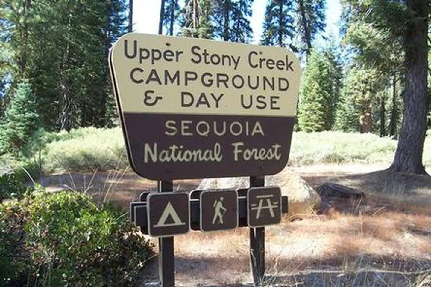
UPPER STONY CREEK CAMPGROUND
USFS · Campground · Fee
Fast facts
- Cost
- Fee charged
- Managed by
- USFS
- Type
- Campground
- Hours
- Quiet hours are 10:00 p.m. until 6:00 a.m.
- Reservations
- recreation.gov
- Coordinates
- 36.6655, -118.8328
- Last verified
- September 19, 2026

About this place
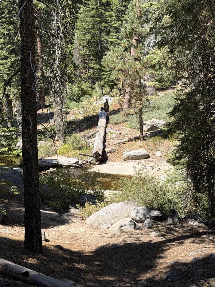
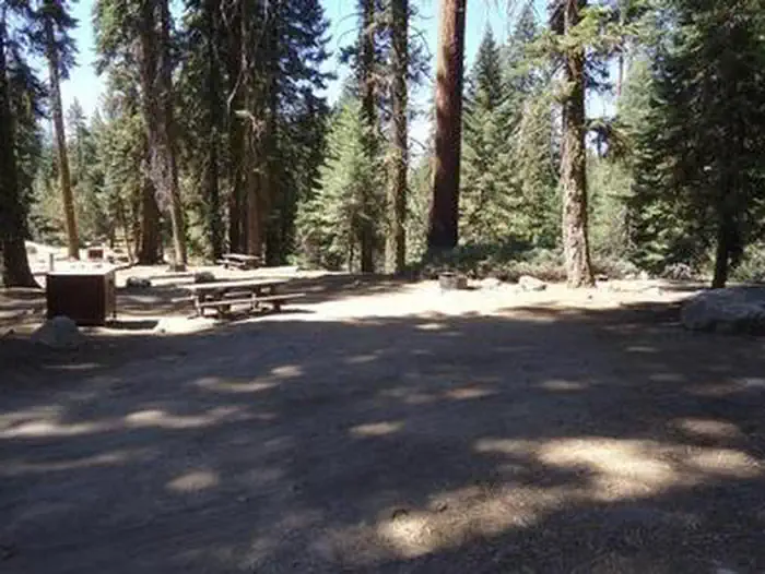
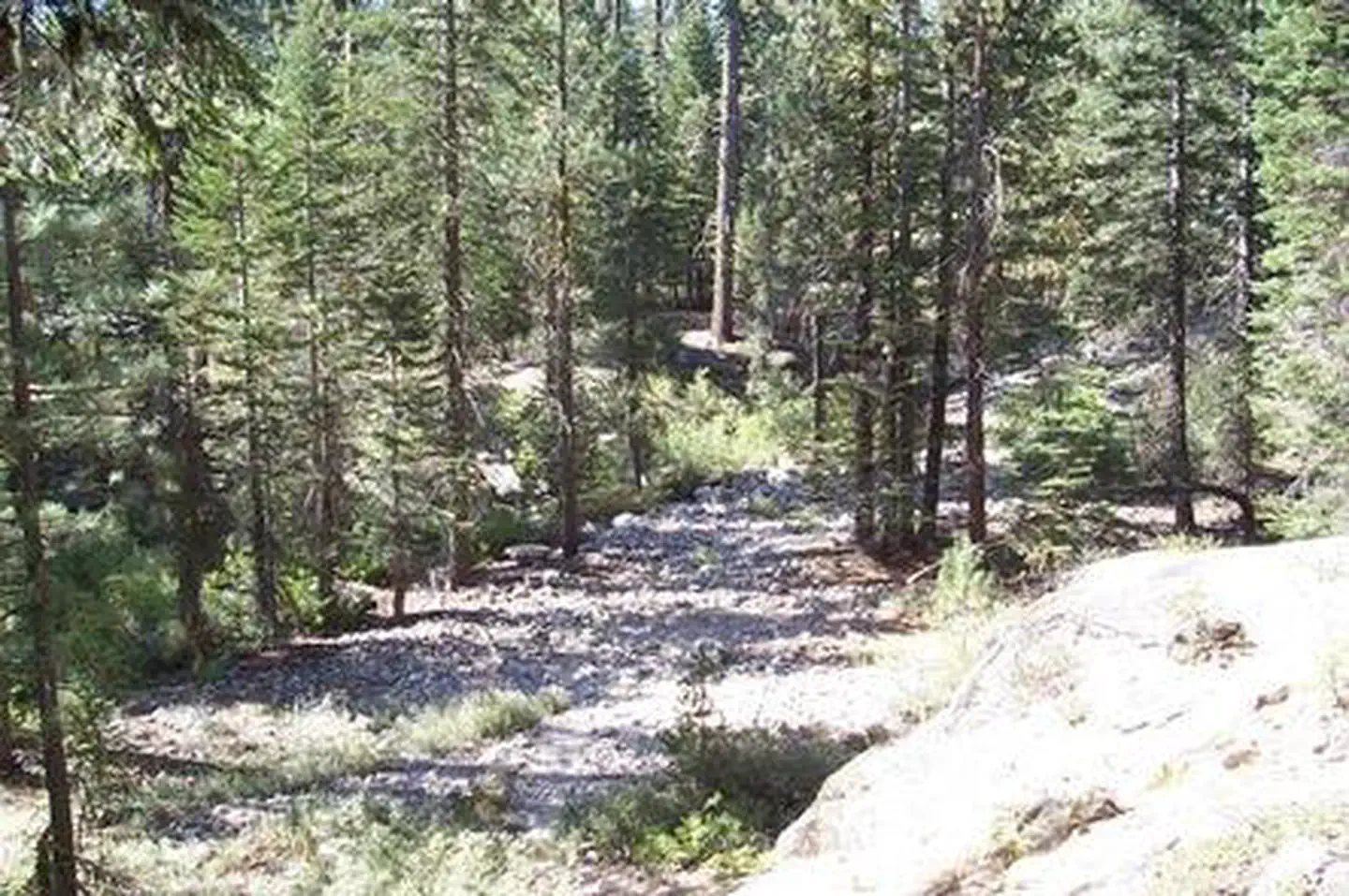
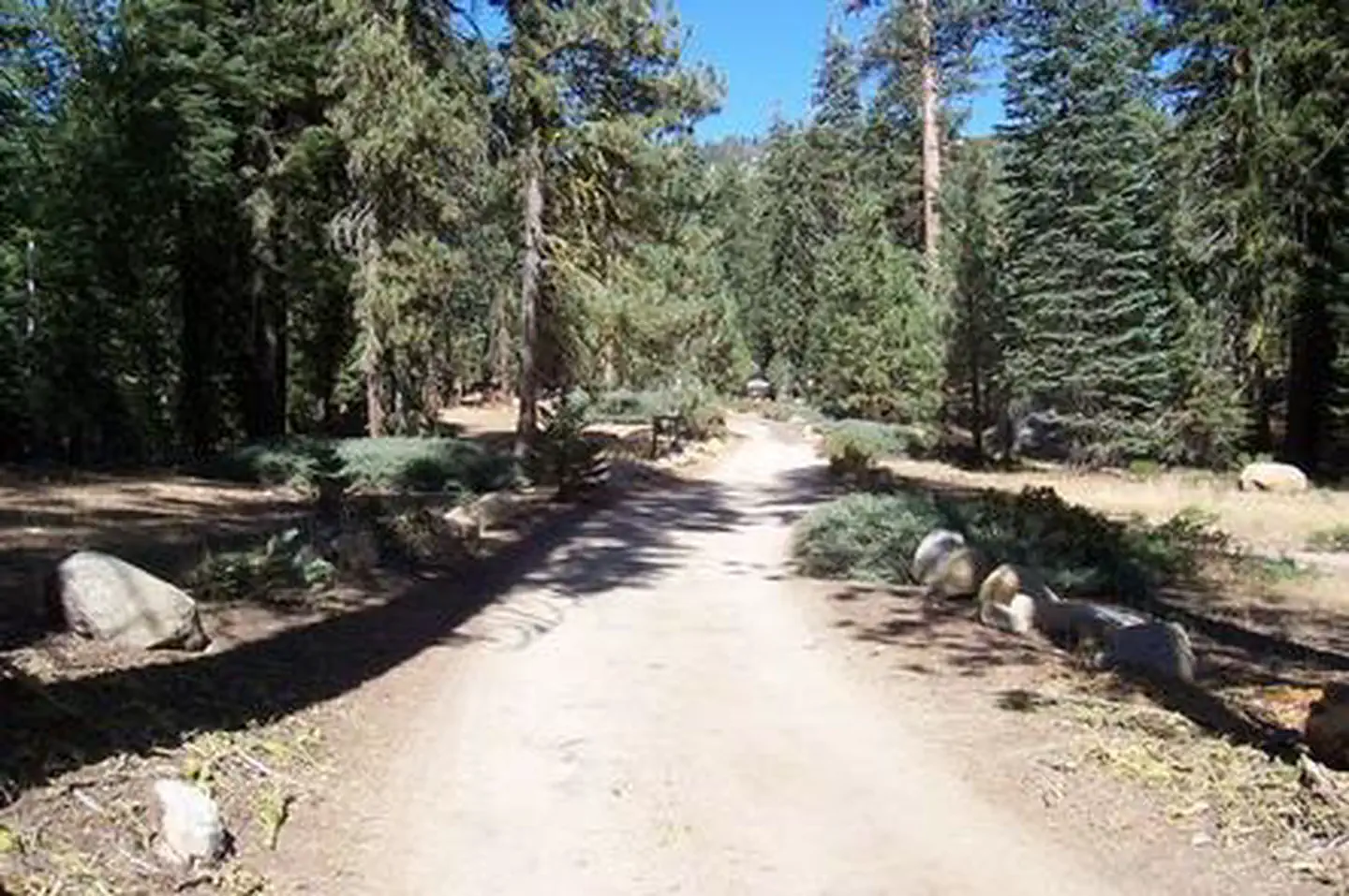
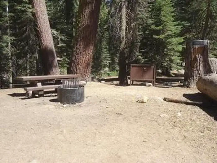
Overview Upper Stony Creek Campground sits in the mid-elevation of the Sierra Nevada mountains at an elevation of about 6,500 feet. Situated along the scenic Stony Creek, below Shell Mountain, and near the Stony Creek Trailhead, this is an ideal location for outdoor enthusiasts. This campground is also near the Jennie Lakes Wilderness region, and in between Sequoia and Kings Canyon National Parks, on the Generals Highway. Recreation Hume Lake is a popular recreation destination where visitors can enjoy fishing, non-motorized boating, hiking, mountain biking and off-road vehicle riding. Visitors can also hike around and fish in the creeks by the campgrounds. Facilities Upper Stony Creek offers 17 reservable campsites spread out along the creek. Vault toilets, picnic areas and drinking water are provided. This facility is operated by Rocky Mountain Recreation Company, a division of ExplorUS and comments are welcome; comment forms are available from campground hosts or online. Natural Features The Sequoia National Forest, located at the southern end of the Sierra Nevada in central California, takes its name from the giant sequoia, the world's largest tree, which grows in more than 30 groves on the Forest's lower slopes. The Forest comprises about 1.1 million acres, and elevations range from about 1,000 to 12,000 feet, creating precipitous canyons and mountain streams with spectacular waterfalls such as Salmon Creek Falls and Grizzly Falls. Nearby Attractions Day trips to Kings Canyon National Park, Sequoia National Park, Giant Sequoia National Monument, Boyden Caverns and General Grant Grove are popular activities. Contact Info For facility specific information, please call (661) 702-1420.
From the USFS.Official page
Is UPPER STONY CREEK CAMPGROUND free?
No. UPPER STONY CREEK CAMPGROUND charges a fee. It is managed by the USFS. Sites are reservable through recreation.gov.
How do I get to UPPER STONY CREEK CAMPGROUND?
UPPER STONY CREEK CAMPGROUND is at 36.6655, -118.8328. We do not hold written directions for this one, so navigate to the coordinates.
Nearby
- STONY CREEK SEQUOIA0.0 mi
- Stony Creek Campground0.1 mi
- COVE GROUP0.3 mi
- Cove Group Campground0.3 mi
- Fir Group Campground0.5 mi
- FIR GROUP0.6 mi
- Dorst Creek Campground-Sequoia and Kings Canyon National Park2.4 mi
- Dorst Creek Campground2.4 mi
No other services within 50 mi on the record.
SourceData from the USFS. Last synced September 19, 2026. Community reports and photos are submitted by travelers and are not verified by the agency.
