
TRUMBULL LAKE
Campground · Fee not listed
Fast facts
- Cost
- Not listed. Check locally.
- Type
- Campground
- Phone
- 760-932-7092
- Nearest dump station
- Indian Creek Camp Ground-Trailer Dump Site · 55.4 mi
- Nearest water fill
- Indian Creek Camp Ground-Potable Water · 55.9 mi
- Coordinates
- 38.0506, -119.2572
- Last verified
- September 19, 2026
About this place
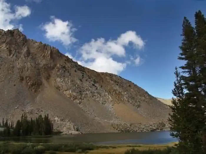
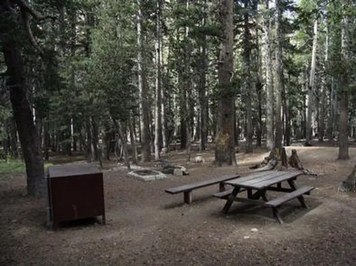
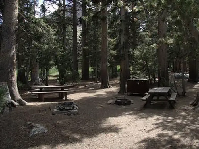
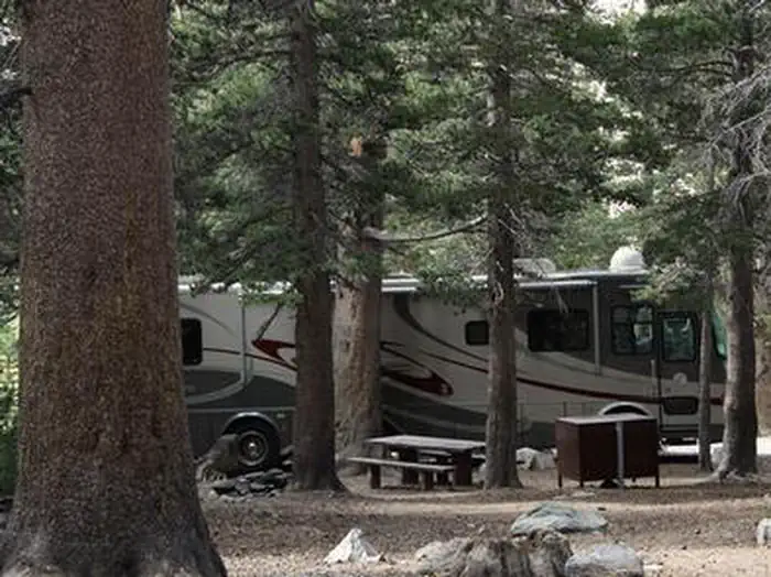
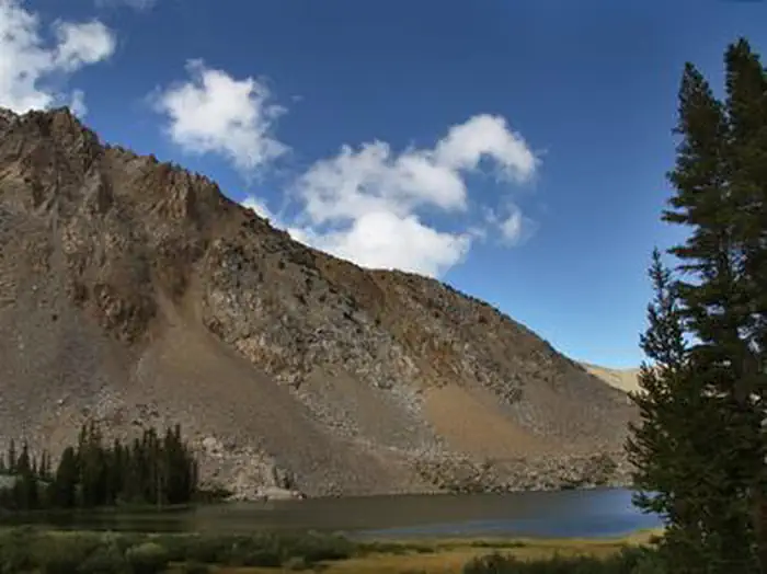
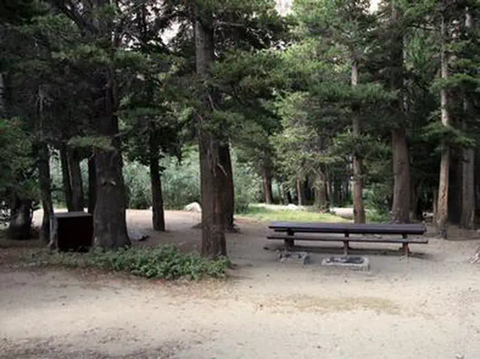
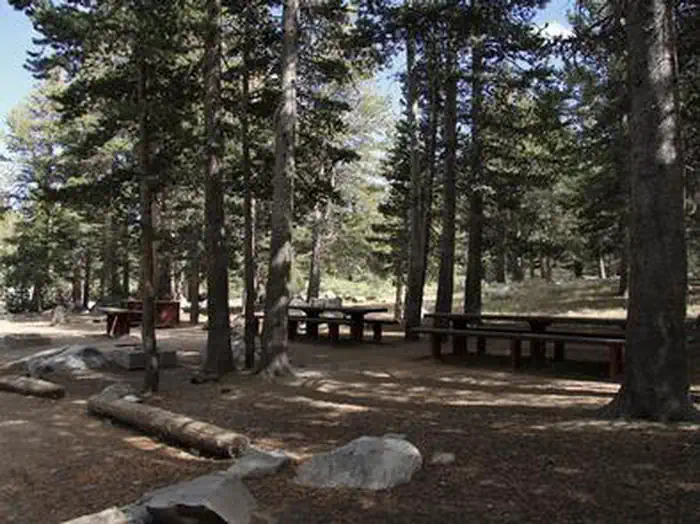
Overview Trumbull Lake Campground is located next to its scenic namesake at an elevation of 9,980 feet. The lake is one of ten alpine lakes in the area. Visitors enjoy fishing, canoeing and exploring local trails. Recreation Trumbull Lake offers canoeing and fishing for rainbow, brown and brook trout in a beautiful natural setting. Facilities This campground contains several single-family sites, a few double sites and one triple site, all with picnic tables, food storage lockers and campfire rings with grills. A few sites closer to the water have partial lake views. picnic tables, food storage lockers and campfire rings with grills. A few sites closer to the water have partial lake views. Vault toilets, drinking water and trash collection are provided. Firewood is available for purchase from the host. Roads and parking spurs are dirt. Check in for campsites is 2pm, check out is noon. Natural Features The campground is situated on the shores of quiet Trumbull Lake, a 100-acre lake surrounded by towering peaks and glacier-carved cirques. A dense forest of lodgepole pine covers the campground, providing ample shade in most campsites. Aspens and summer wildflowers dot the landscape. Nearby Attractions The Virginia Lakes area is very close, offering additional canoeing and fishing. The Virginia Lake Trail, for hiking and horseback riding, provides access into the adjacent Hoover Wilderness Area and Yosemite National Park. Bodie State Park.
From the managing agency.
Is TRUMBULL LAKE free?
We do not have a fee on record for TRUMBULL LAKE. Confirm the cost locally before you go.
How do I get to TRUMBULL LAKE?
TRUMBULL LAKE is at 38.0506, -119.2572. We do not hold written directions for this one, so navigate to the coordinates.
Nearby
- Trumbull Lake Campground0.1 mi
- West Virginia Creek Campground1.0 mi
- Lower Virginia Creek Primitive Campground2.1 mi
- Lower Virginia Creek Primitive Campgroun2.8 mi
- Green Creek Campground4.2 mi
- GREEN CREEK GROUP4.3 mi
- Green Creek Group Campground4.3 mi
- Saddlebag Lake Campground6.0 mi
- Indian Creek Camp Ground-Trailer Dump Site55.4 mi
- Indian Creek Camp Ground-Potable Water55.9 mi
SourceSource data is agency published. Last synced September 19, 2026. Community reports and photos are submitted by travelers and are not verified by the agency.
