
TILLIE CREEK
Campground · Fee not listed
Fast facts
- Cost
- Not listed. Check locally.
- Type
- Campground
- Phone
- 760-376-1815
- Coordinates
- 35.7015, -118.4594
- Last verified
- September 19, 2026
About this place
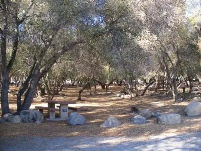
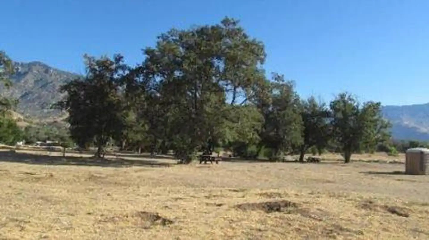
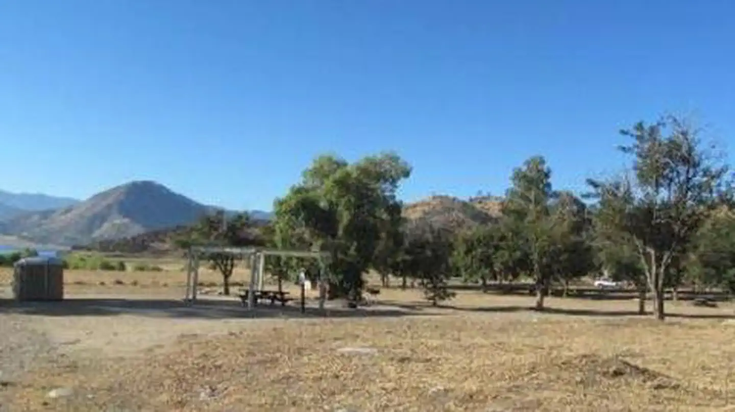
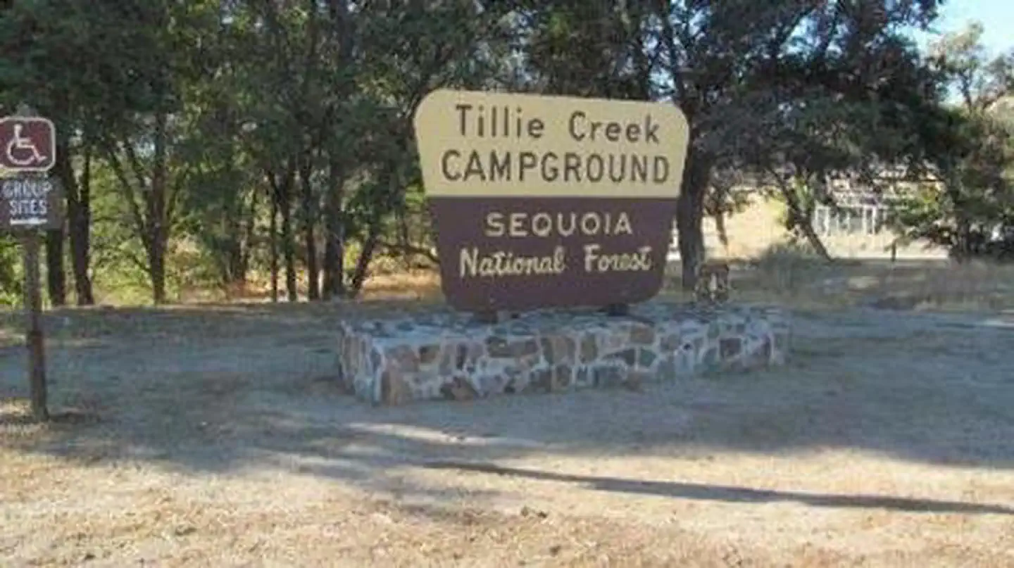
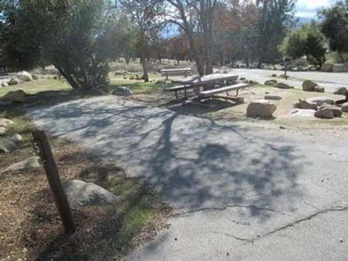
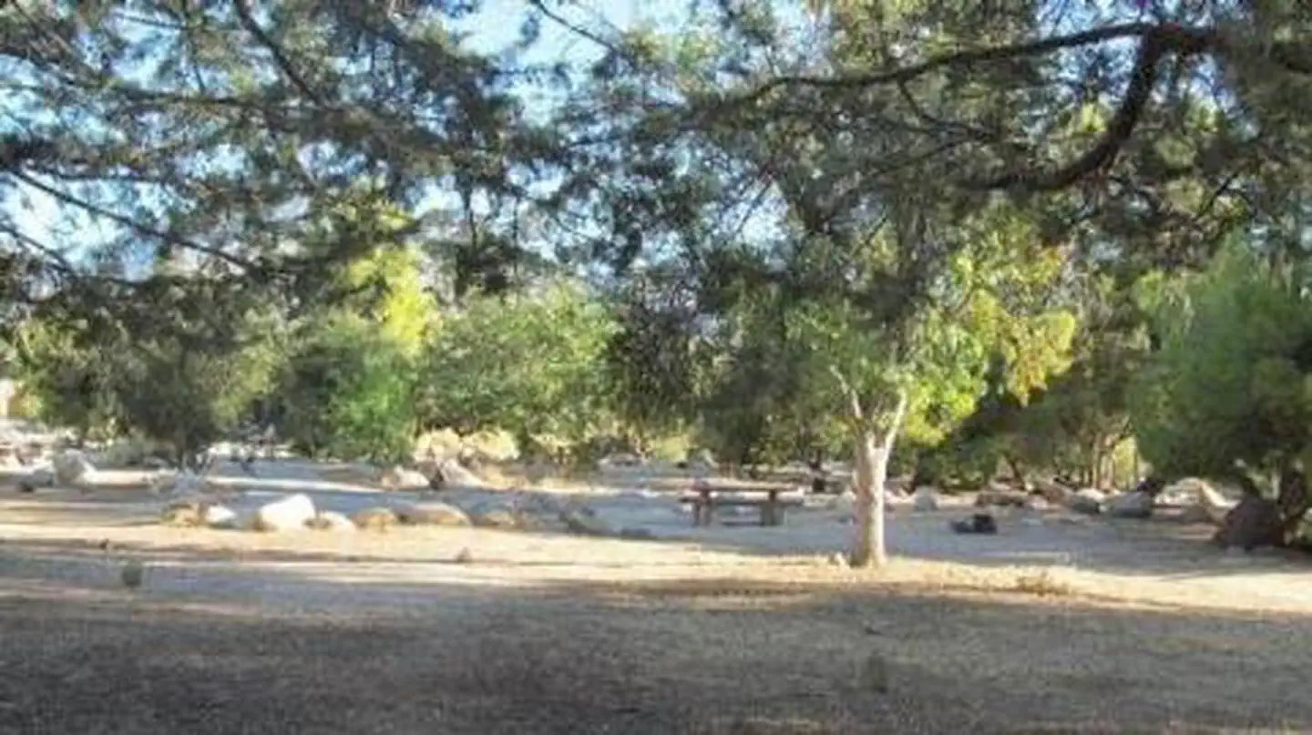
Overview Tillie Creek campground is nestled in oak trees on the shores of Lake Isabella, a popular destination for water activities, especially windsurfing and fishing. The 11,000-acre lake is actually a reservoir, one of California's largest, and it marks the division between the Upper Kern and Lower Kern Rivers. Recreation Lake activities are the focal point of this campground. Options include swimming, water skiing and windsurfing. The lake is known for trout fishing during the colder months. Lake Isabella offers anglers a variety of species, including black and White crappie, bluegill, catfish and largemouth bass. Facilities This campground can accommodate family reunions and other large parties, from 60 up to 150 guests. The campground is located 6 miles from the town of Lake Isabella. One group area is wheelchair accessible. A marina and boat ramps are available just to the south. Other facilities include a fish cleaning station and a playground. Natural Features The Sequoia National Forest, located at the southern end of the Sierra Nevada in central California, takes its name from the giant sequoia, the world's largest tree, which grows in more than 30 groves on the Forest's lower slopes. The Forest comprises about 1.1 million acres, and elevations range from about 1,000 to 12,000 feet, creating precipitous canyons and mountain streams with spectacular waterfalls such as Salmon Creek Falls and Grizzly Falls. Nearby Attractions The campground provides a good base for day trips to the Sequoia National Park, Trail of a Hundred Giants, and numerous Sequoia groves in the Giant Sequoia National Monument. Contact Info For facility specific information, please call (760) 376-1269.
From the managing agency.
Is TILLIE CREEK free?
We do not have a fee on record for TILLIE CREEK. Confirm the cost locally before you go.
How do I get to TILLIE CREEK?
TILLIE CREEK is at 35.7015, -118.4594. We do not hold written directions for this one, so navigate to the coordinates.
Nearby
- Live Oak Group Campground0.0 mi
- LIVE OAK SOUTH0.1 mi
- LIVE OAK0.1 mi
- Live Oak North Campground0.1 mi
- Tillie Creek Campground0.2 mi
- Tillie Creek #1 Group Campground0.3 mi
- Tillie Creek #2 Group Campground0.3 mi
- Tillie Creek #3 Group Campground0.3 mi
No other services within 50 mi on the record.
SourceSource data is agency published. Last synced September 19, 2026. Community reports and photos are submitted by travelers and are not verified by the agency.
