
SILVER CREEK-TRUCKEE
Campground · Fee not listed
Fast facts
- Cost
- Not listed. Check locally.
- Type
- Campground
- Phone
- (530)587-3558. FOR RESERVATIONS, PLEASE CALL: 1 (877) 444-6777.
- Nearest dump station
- French Meadows Rv Dump Station · 12.9 mi
- Nearest water fill
- Indian Creek Camp Ground-Potable Water · 39.7 mi
- Coordinates
- 39.2233, -120.2026
- Last verified
- September 19, 2026

About this place
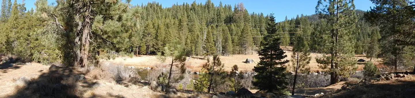
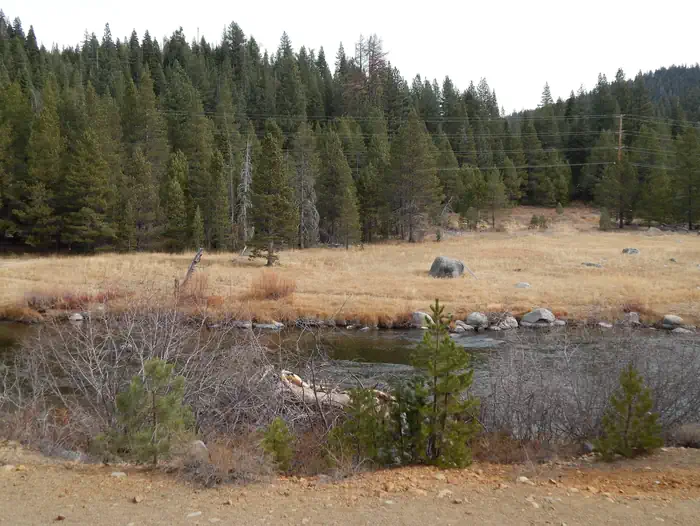
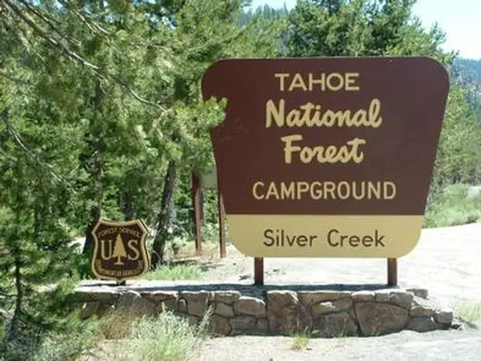
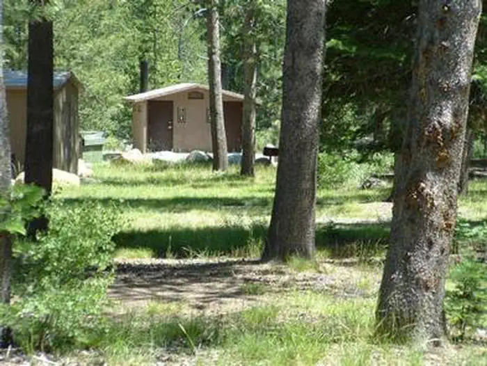
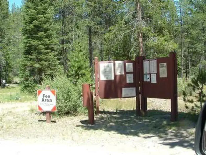
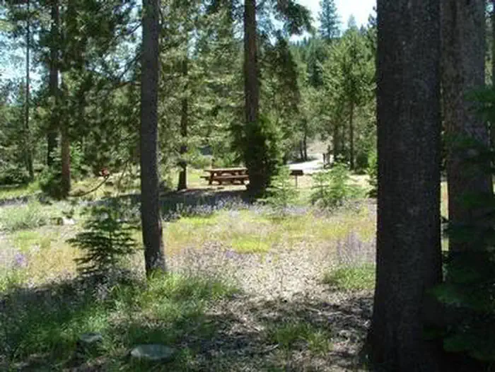
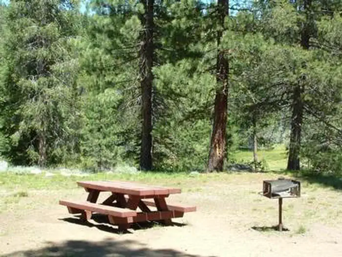
Overview Silver Creek Campground is located on the Truckee River, off of Highway 89, between Truckee and Tahoe City. Visitors enjoy the area for its fishing and hiking opportunities, as well as its proximity to Lake Tahoe and Olympic Valley. This facility is operated and maintained by Lake Tahoe Hospitality LLC for the Tahoe National Forest. Recreation Fly-fishing for rainbow trout in the Truckee River is a popular activity. Campers also enjoy swimming and tubing. The surrounding area offers abundamt hiking and biking trails, including the Western States Trail, Five Lakes Trail, and Pacific Crest Trail. Facilities The campground offers single-family sites, seven of which are designated for tent-camping only. Each site is equipped with a picnic table, campfire ring with grill. Vault toilets and drinking water are provided. Natural Features The campground is situated on the banks of the Truckee River. A few sites overlook the river. A scenic forest of lodgepole pine and fir covers the area. Contact Info This location has limited staffing. Please call (530) 606-3978 for general information. Nearby Attractions Silver Creek Campground is centrally located between Prosser, Boca and Stampede Reservoirs to the north and Lake Tahoe and Olympic Valley to the south. A variety of outdoor recreational activities is available at each location. Truckee, 10 minutes north, offers all the amenities of a year round recreational mountain town including interstate highway connectivity, top notch restaurants, resorts and hotels, grocery stores, gas stations, shopping, and historic sites. Lake Tahoe is located 10 minutes south and offers excellent boating, kayaking, fishing, hiking and scenic driving opportunities, as well as dining, shopping and lodging options. Other recreational opportunities include Donner Camp Interpretive Trail, Overland Emigrant Commemorative Trail, Stampede Reservoir Recreation Area, Prosser Pits OHV area, and numerous hiking, mountain biking, and OHV trails.
From the managing agency.
Is SILVER CREEK-TRUCKEE free?
We do not have a fee on record for SILVER CREEK-TRUCKEE. Confirm the cost locally before you go.
How do I get to SILVER CREEK-TRUCKEE?
SILVER CREEK-TRUCKEE is at 39.2233, -120.2026. We do not hold written directions for this one, so navigate to the coordinates.
Nearby
- Silver Creek Campground0.0 mi
- GOOSE MEADOWS2.4 mi
- Goose Meadow Campground2.5 mi
- GRANITE FLAT (CALIFORNIA)5.2 mi
- Granite Flat Campground5.5 mi
- WILLIAM KENT CAMPGROUND6.3 mi
- KASPIAN CAMPGROUND7.9 mi
- Alpine Meadow Campground8.0 mi
- French Meadows Rv Dump Station12.9 mi
- Indian Creek Camp Ground-Potable Water39.7 mi
SourceSource data is agency published. Last synced September 19, 2026. Community reports and photos are submitted by travelers and are not verified by the agency.
