
ROBINSON CREEK NORTH
Campground · Fee not listed
Fast facts
- Cost
- Not listed. Check locally.
- Type
- Campground
- Phone
- 760-932-7092
- Nearest dump station
- Indian Creek Camp Ground-Trailer Dump Site · 45.8 mi
- Nearest water fill
- Indian Creek Camp Ground-Potable Water · 46.3 mi
- Coordinates
- 38.1861, -119.3175
- Last verified
- September 19, 2026
About this place
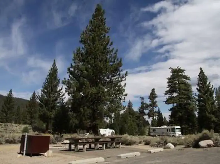
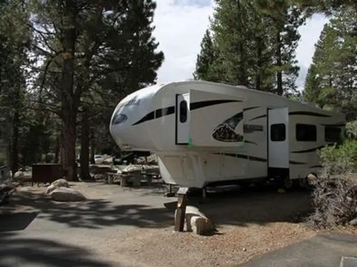
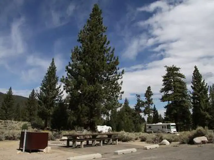
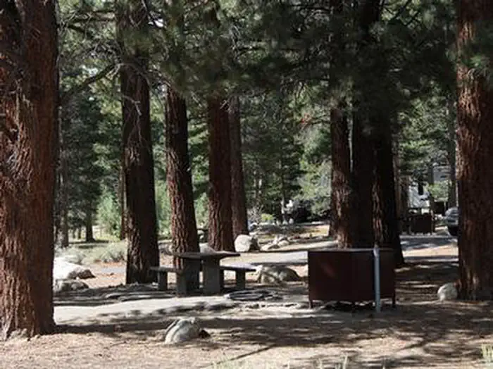
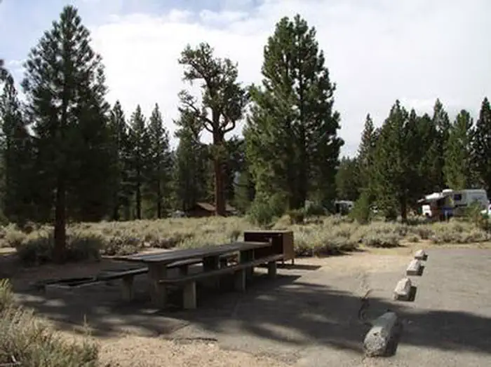
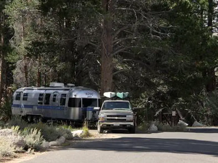
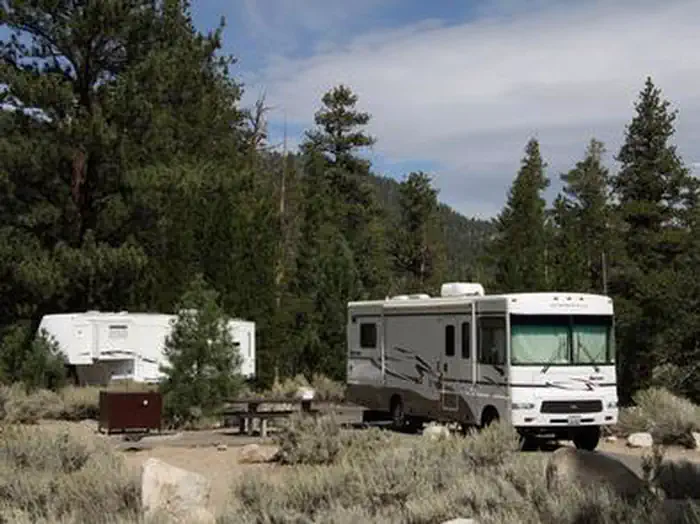
Overview Robinson Creek North Campground is located just 9 miles from Bridgeport, California, next to Robinson Creek at an elevation of 7,000 feet. The Twin Lakes area is close by, offering boating, fishing, hiking and horseback riding opportunities. Recreation Robinson Creek offers good rainbow trout fishing and can be easily accessed from within the campground. Numerous hiking trails are in the vicinity, including the popular Robinson Creek Trail. Facilities The campground contains single sites with picnic tables, food storage lockers and campfire rings with grills. Vault toilets, drinking water and trash collection are provided. Firewood is available for purchase from the host. Educational programs are held next door at Robinson Creek South Campground's amphitheater on weekends from July 4 through Labor Day. Natural Features The campground is situated alongside its namesake creek, where a forest of massive Jeffrey pines towers over the site, offering partial shade. Lodgepole pines, sagebrush and summer wildflowers dot the landscape. Nearby Attractions Upper and Lower Twin Lakes are nearby, offering beautiful mountain scenery, boating, canoeing and fishing for Kokanee salmon and rainbow and brown trout. The rugged and scenic Hoover Wilderness Area can be accessed from the Twin Lakes area and offers additional trails for hiking and horseback riding.
From the managing agency.
Is ROBINSON CREEK NORTH free?
We do not have a fee on record for ROBINSON CREEK NORTH. Confirm the cost locally before you go.
How do I get to ROBINSON CREEK NORTH?
ROBINSON CREEK NORTH is at 38.1861, -119.3175. We do not hold written directions for this one, so navigate to the coordinates.
Nearby
SourceSource data is agency published. Last synced September 19, 2026. Community reports and photos are submitted by travelers and are not verified by the agency.
