
PONDEROSA CAMPGROUND
Campground · Fee not listed
Fast facts
- Cost
- Not listed. Check locally.
- Type
- Campground
- Phone
- 805-434-1996
- Coordinates
- 36.0050, -121.3764
- Last verified
- September 19, 2026
About this place
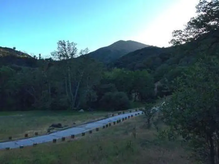
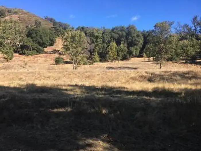
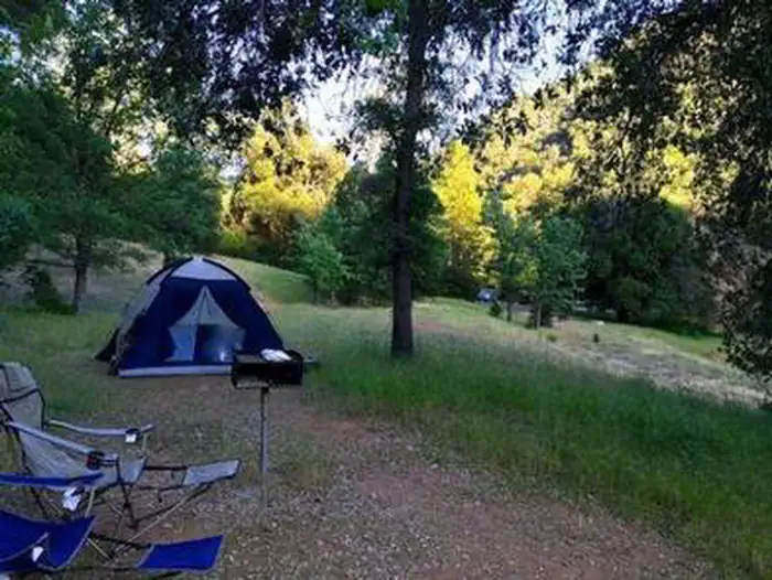
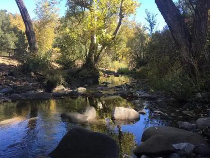
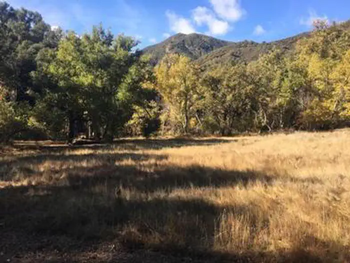
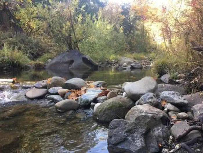
Overview Ponderosa Campground offers visitors a beautiful location to relax and enjoy nature. It runs along the Nacimiento River, which provides a variety of recreational opportunities. Swimming, fishing and wading are all enjoyed by visitors, as well as hiking and backpacking on any of the surrounding mountain trails. Recreation The Nacimiento River provides opportunities for trout fishing and wading, as well as swimming in any of the swimming holes along its course. A variety of hiking, horseback riding and mountain biking trails can be accessed within a short drive from the campground. The trails offer scenic views of waterfalls, massive redwood groves, meadows and mountain streams. Facilities The campground offers single-family sites for tent and RV camping. Utility hookups are not available and the parking surfaces are paved. A maximum of two vehicles is allowed for each site. Additional vehicles are not allowed in the campground. Each site is equipped with a table and campfire ring with grill. Vault toilets and drinking water are provided. Trash collection bins are available throughout the campground. Natural Features The campground is situated next to the river and has a scattered canopy of ponderosa pine, oak, madrone and sycamore trees, which provide ample shade in most campsites. It is located in the Los Padres National Forest in the mountains of Big Sur at an elevation of 1,500 feet. A variety of wildlife makes its home in the area. Nearby Attractions Mission San Antonio is a short drive east of the campground. Located in the Fort Hunter Liggett Military Base, the mission is one of the oldest in California. A museum, original aqueducts and a Native American cemetery are found here. The San Antonio Reservoir Recreation Area is located about 32 miles southwest of the campground. Boating, fishing, swimming and guided tours are available.
From the managing agency.
Is PONDEROSA CAMPGROUND free?
We do not have a fee on record for PONDEROSA CAMPGROUND. Confirm the cost locally before you go.
How do I get to PONDEROSA CAMPGROUND?
PONDEROSA CAMPGROUND is at 36.0050, -121.3764. We do not hold written directions for this one, so navigate to the coordinates.
Nearby
- PONDEROSA CAMPGROUND0.6 mi
- KIRK CREEK CAMPGROUND6.7 mi
- Kirk Creek6.7 mi
- PLASKETT CREEK CAMPGROUND7.8 mi
- Plaskett Creek7.8 mi
- MEMORIAL CAMPGROUND9.1 mi
- ESCONDIDO CAMPGROUND11.4 mi
- Escondido11.5 mi
No other services within 50 mi on the record.
SourceSource data is agency published. Last synced September 19, 2026. Community reports and photos are submitted by travelers and are not verified by the agency.
