
PINNACLES CAMPGROUND
Campground · Fee not listed
Fast facts
- Cost
- Not listed. Check locally.
- Type
- Campground
- Phone
- 831-200-1722 OR GO TO WWW.VISITPINNACLES.COM
- Coordinates
- 36.4664, -121.1761
- Last verified
- September 19, 2026
About this place
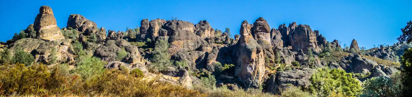
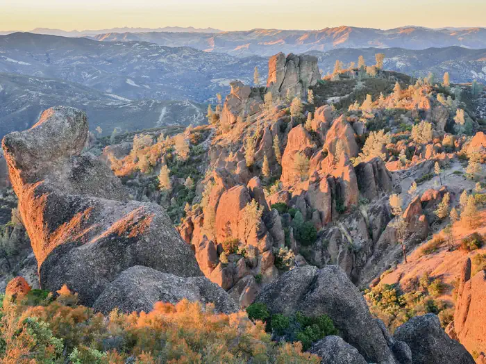
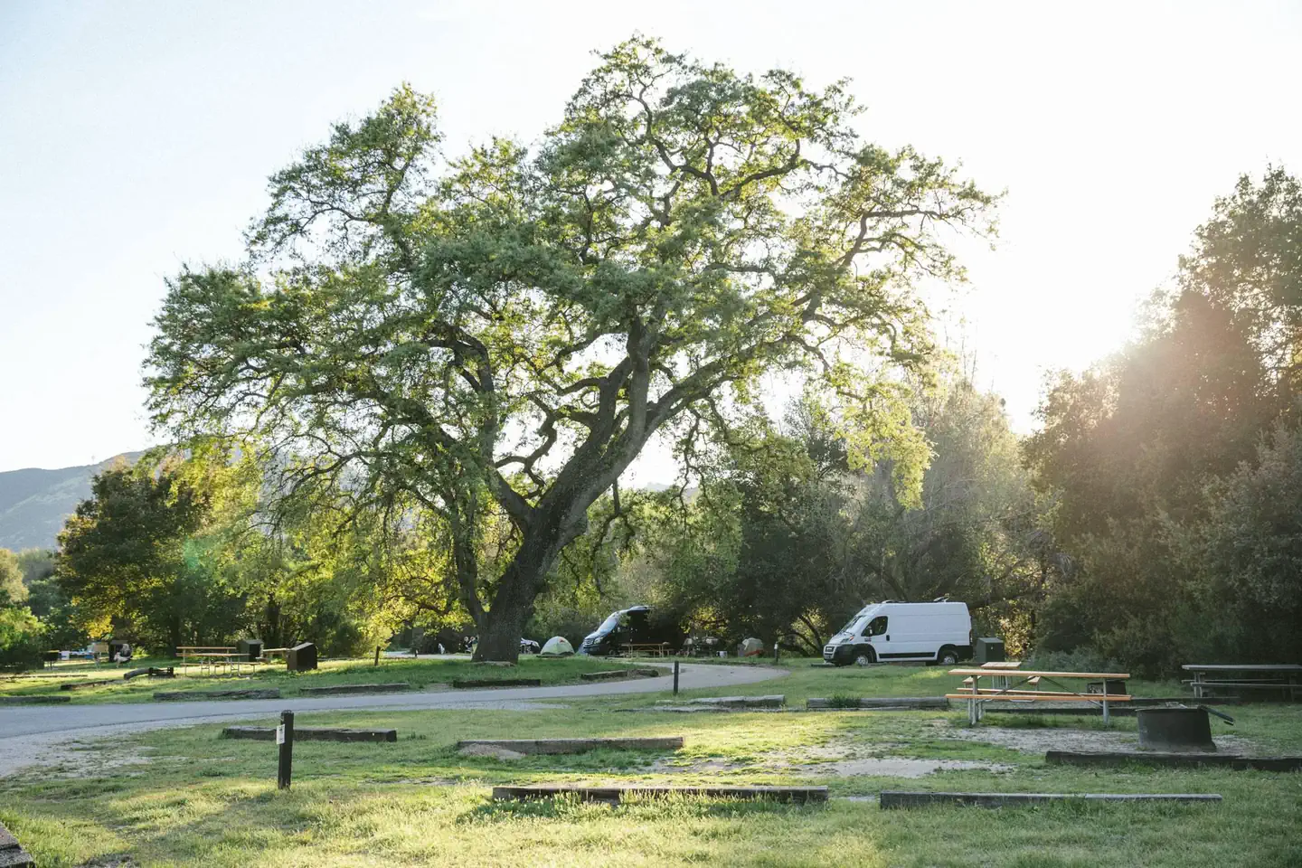
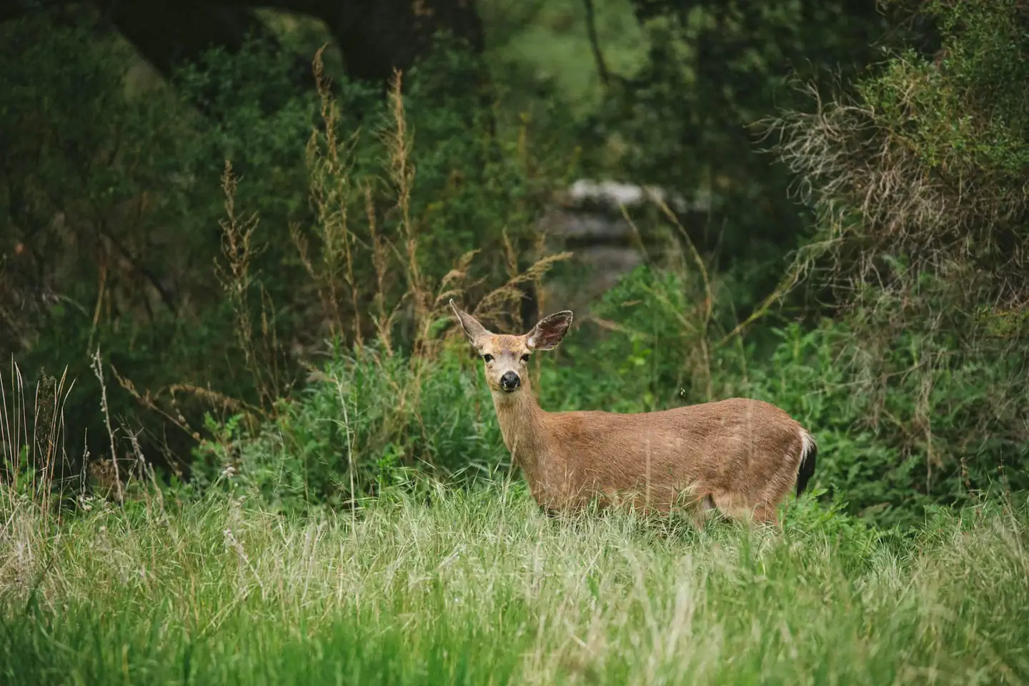
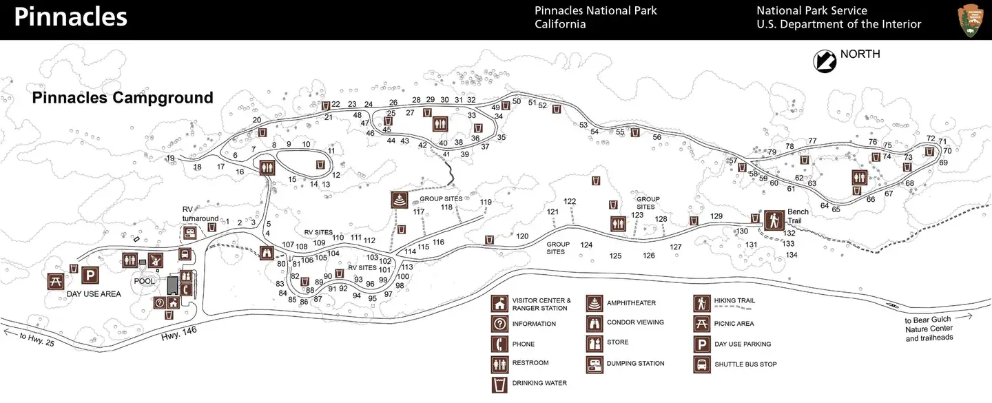
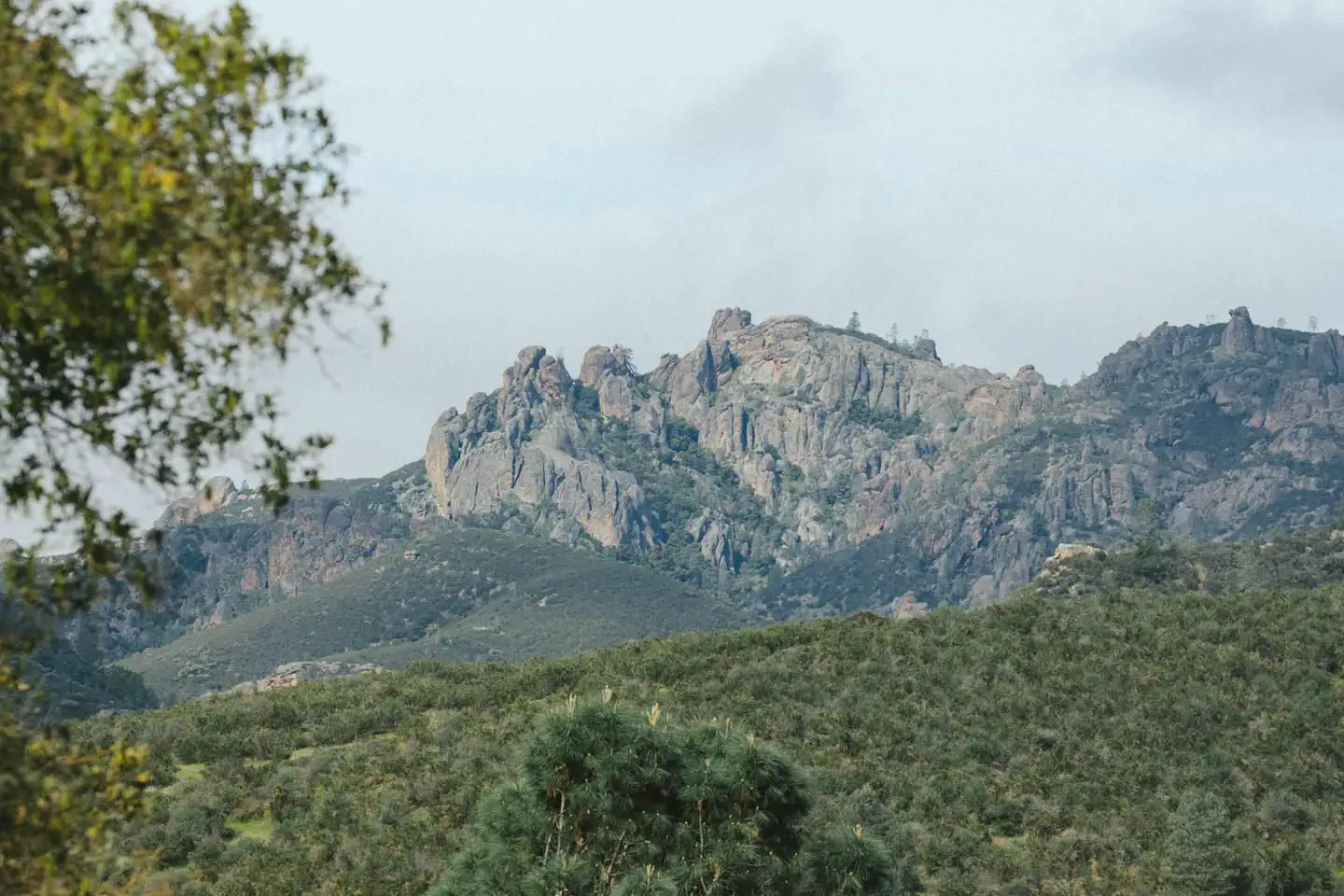
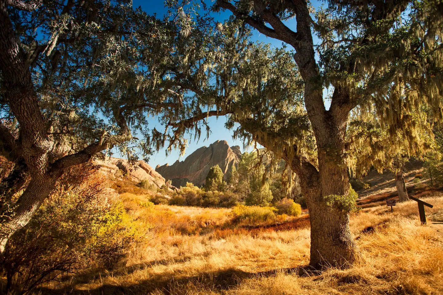
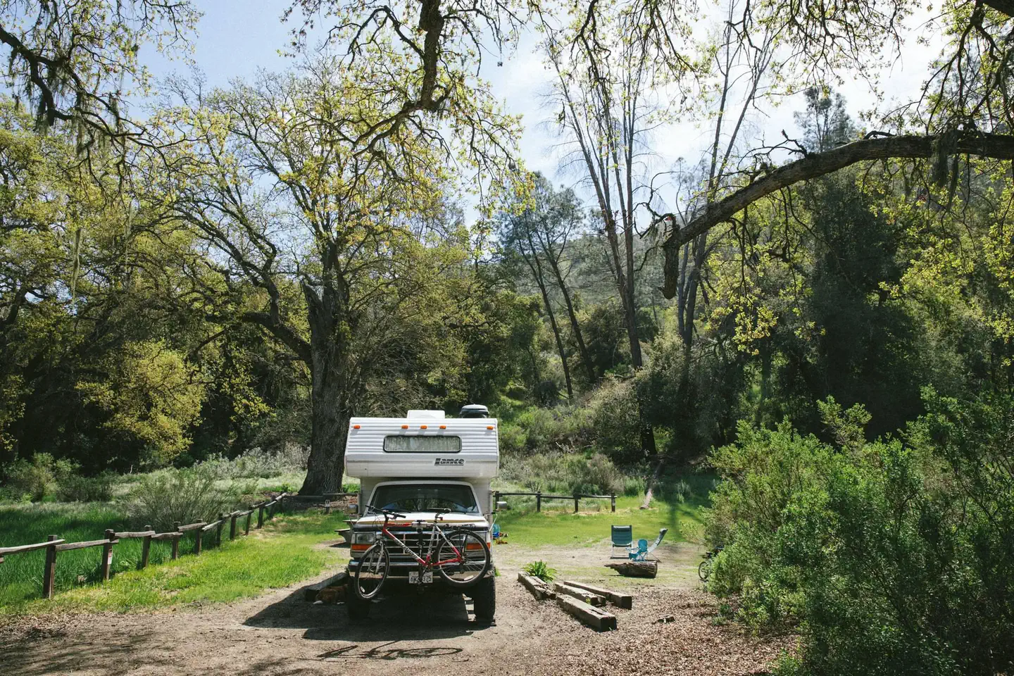
Overview Pinnacles Campground is located in the unique Pinnacles National Park, 32 miles south of Hollister, California. The park encompasses 26,000 acres of spectacular rock formations and remnants of an extinct 23 million-year old volcano. Hiking and rock climbing are very popular activities in Pinnacles, as is watching for the majestic California condor overhead. Pinnacles National Park is a nesting place for the endangered soaring bird, the largest in North America. Recreation Pinnacles National Park has more than 30 miles of trails, ranging from easy to strenuous. Many trails intersect, allowing for a short loop or a longer all-day hike. Popular destinations include Bear Gulch Reservoir, High Peaks and the Balconies area. The Bench Trail provides direct access to the park from the campground. Visitors enjoy exploring Balconies Cave and Bear Gulch Cave, which houses a large colony of Townsend's big-eared bats. Bring a flashlight! Rock climbers flock to Pinnacles for the variety of climbing routes that range from easy top-ropes to the multi-pitch climbs along Machete Ridge. Facilities Pinnacles Campground is located on the eastern side of the park and is open year-round. It offers family and group tent sites, as well as RV sites with electric hookups. Roads and parking spurs are gravel. Flush toilets and drinking water are provided. Showers are available. A general store with basic foods and camping supplies is located on-site. A swimming pool is located within the campground and is open from April through September. Natural Features The campground is situated in a rolling landscape dotted with shady Valley Oak, Blue Oak and Coast Live Oak trees. A gentle, seasonal creek runs through the grounds. Springtime finds Pinnacles bursting with a wide variety of vivid wildflowers that line every trail and fill entire meadows with color. Deer and wild turkeys roam the area, and condors can be viewed from within the campground. The park ranges in elevation from 824 feet along South Chalone Creek to 3,304 feet atop North Chalone Peak.
From the managing agency.
Is PINNACLES CAMPGROUND free?
We do not have a fee on record for PINNACLES CAMPGROUND. Confirm the cost locally before you go.
How do I get to PINNACLES CAMPGROUND?
PINNACLES CAMPGROUND is at 36.4664, -121.1761. We do not hold written directions for this one, so navigate to the coordinates.
Nearby
- Pinnacles Campground2.2 mi
- ARROYO SECO23.0 mi
- Arroyo Seco Group Campground23.6 mi
- WHITE OAKS CAMPGROUND24.2 mi
- CHINA CAMP CAMPGROUND24.8 mi
- China Camp24.8 mi
- ESCONDIDO CAMPGROUND28.6 mi
- Escondido28.6 mi
No other services within 50 mi on the record.
SourceSource data is agency published. Last synced September 19, 2026. Community reports and photos are submitted by travelers and are not verified by the agency.
