
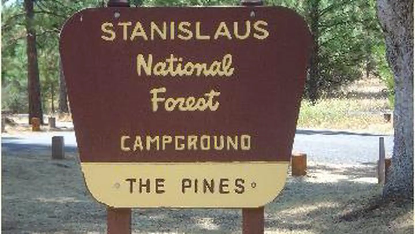
Pines Stanislaus
Campground · Fee not listed
Fast facts
- Cost
- Not listed. Check locally.
- Type
- Campground
- Phone
- 801-226-3564
- Nearest dump station
- Indian Creek Camp Ground-Trailer Dump Site · 65.8 mi
- Nearest water fill
- Indian Creek Camp Ground-Potable Water · 66.2 mi
- Coordinates
- 37.8190, -120.0939
- Last verified
- September 19, 2026
About this place
Overview Pines Campground is conveniently located, just 15 miles from the Yosemite National Park boundary in northern California. It is an ideal base camp for visitors to explore not only Yosemite, but also the fantastic wilderness areas within Stanislaus National Forest, including Carson-Iceberg, Emigrant and Mokelumne Wildernesses. Pets are welcome, but must be compliant with Tuolumne County leash laws. Recreation Hike the Little Golden Forest Trail, a half-mile interpretive loop with the option for a longer two-mile loop. A short drive takes visitors to the Tuolumne River for wading and fishing. Winter sports are very popular in the area as well. Dodge Ridge, Bear Valley and Badger Pass Ski Areas offer a variety of winter activities. Facilities In winter, camping is free but water and toilet paper are not provided. Natural Features The tranquil campground sits at an elevation of 3,200 feet, in a mixed conifer forest. The Tuolumne River is nearby, which flows for 150 mies from the central Sierra Nevada to the San Joaquin River. Nearby Attractions Take a scenic drive through Yosemite National Park to view its legendary waterfalls and scenery.
From the managing agency.
Is Pines Stanislaus free?
We do not have a fee on record for Pines Stanislaus. Confirm the cost locally before you go.
How do I get to Pines Stanislaus?
Pines Stanislaus is at 37.8190, -120.0939. We do not hold written directions for this one, so navigate to the coordinates.
Nearby
SourceSource data is agency published. Last synced September 19, 2026. Community reports and photos are submitted by travelers and are not verified by the agency.
