
PANTHER FLAT CAMPGROUND
USFS · Campground · Fee
Fast facts
- Cost
- Fee charged
- Managed by
- USFS
- Type
- Campground
- Reservations
- recreation.gov
- Phone
- 707-457-3131
- Nearest dump station
- Aspen Point Dump Station · 95.9 mi
- Coordinates
- 41.8431, -123.9306
- Last verified
- September 19, 2026
About this place
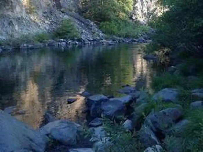
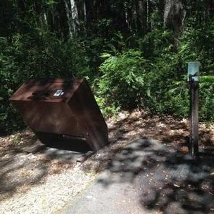
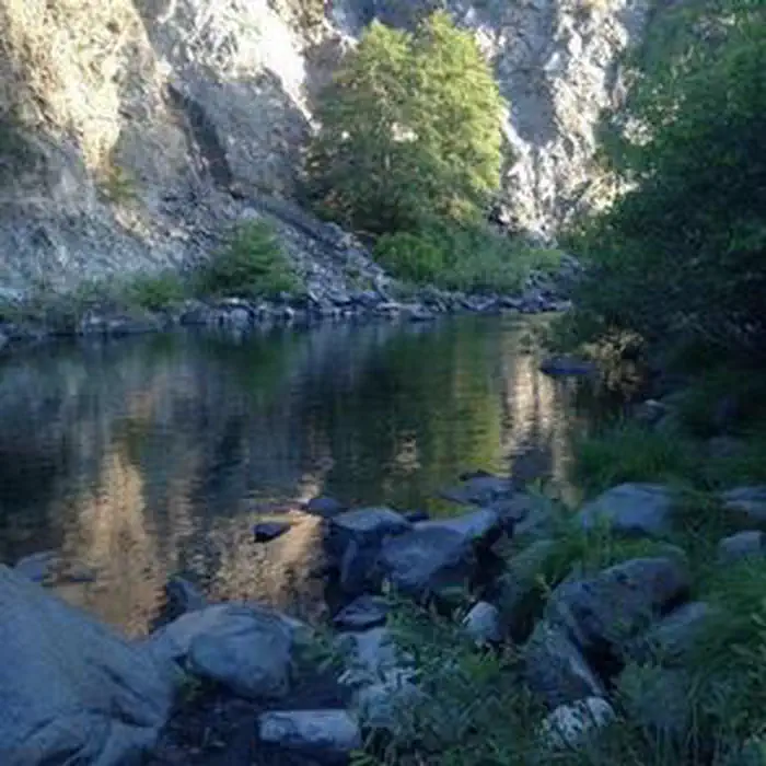
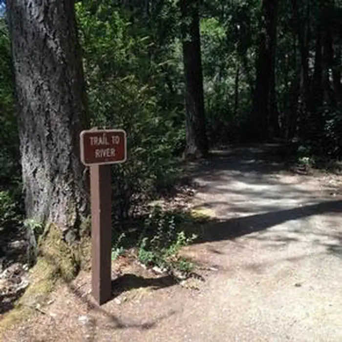
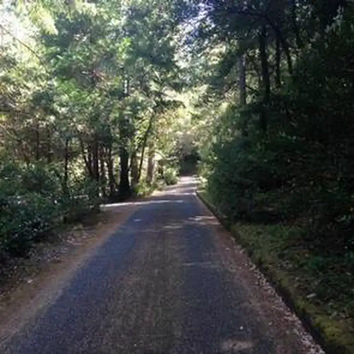
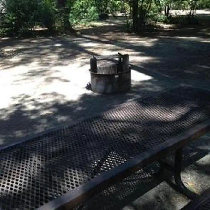
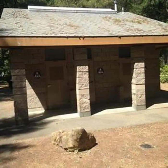
Overview Panther Flat Campground sits in the vast Six Rivers National Forest in northern California. This shady, secluded campground is just steps from the Smith River, which is famous for its bright blue waters and scenic pathway through the forest. Recreation Popular activities include swimming, sunbathing, rafting and fishing in the Smith River. Anglers enjoy healthy fishing populations of salmon, steelhead and cutthroat trout. Visitors also enjoy hiking, horseback riding and biking in the area. There are no trailheads in the campground, but Elk Camp Ridge, High Dome and French Hill trailheads are all within 10 miles of the site. A Botanical trail to a unique Darlingtonia bog is just a mile away. Facilities The campground offers multiple single-family sites and at least one double site, available for tent and RV camping. It is one of the most modern campgrounds in the area and has some of the largest parking aprons. Some sites are available on a first-come, first-served basis. Campsites are equipped with tables and campfire rings with grills. Accessible flush toilets, coin-operated hot showers and drinking water are provided. The Visitor Center at the Gasquet Ranger Station provides free maps and brochures of the area. Natural Features Set in a mature forest of Douglas fir, cedar and Pacific madrone trees, the campground is a short walk from the pristine Smith River. The river boasts up to Class 5 whitewater rapids. The region, thick with vegetation, is also freckled with huckleberry shrubs. The Six Rivers National Forest lies east of Eureka in northwestern California, stretching southward from the Oregon border for about 140 miles. U.S. 101, the famed "Redwood Highway," parallels the inland Forest along the coastline. The Forest is just east of the Redwood National Park. Nearby Attractions California's Redwood National Park and the Pacific Ocean are within 20 miles of the campground. Annual events include Gasquet Raft Race in July and Del Norte County Fair in August.
From the USFS.Official page
Is PANTHER FLAT CAMPGROUND free?
No. PANTHER FLAT CAMPGROUND charges a fee. It is managed by the USFS. Sites are reservable through recreation.gov.
How do I get to PANTHER FLAT CAMPGROUND?
From the Visitor Center in Gasquet, California turn lefeet on Highway 199 andgo 2½ miles east.
Nearby
- GRASSY FLAT CAMPGROUND2.3 mi
- PATRICK CREEK CAMPGROUND4.8 mi
- Jedediah Smith Campground - Jedediah Smith Redwoods State Park8.7 mi
- North Fork Campground9.5 mi
- BEAR BASIN LOOKOUT AND CABIN10.1 mi
- Big Flat10.8 mi
- Mill Creek Campground - Del Norte Coast Redwoods State Park13.0 mi
- Ludlum Campground16.2 mi
- Aspen Point Dump Station95.9 mi
SourceData from the USFS. Last synced September 19, 2026. Community reports and photos are submitted by travelers and are not verified by the agency.
