
OAK GROVE CAMPGROUND
USFS · Campground · Fee
Fast facts
- Cost
- Fee charged
- Managed by
- USFS
- Type
- Campground
- Reservations
- recreation.gov
- Phone
- (760) 788-0250
- Coordinates
- 33.3865, -116.7914
- Last verified
- September 19, 2026
About this place
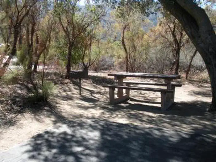
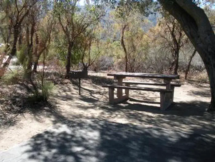
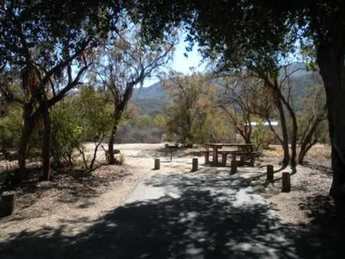
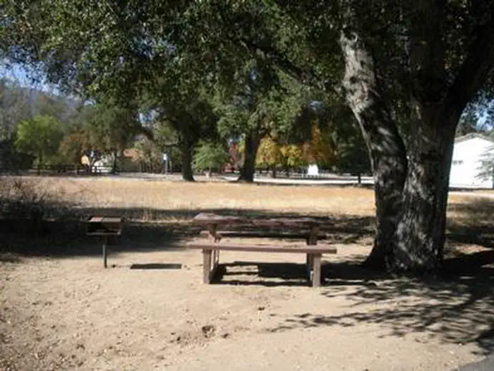
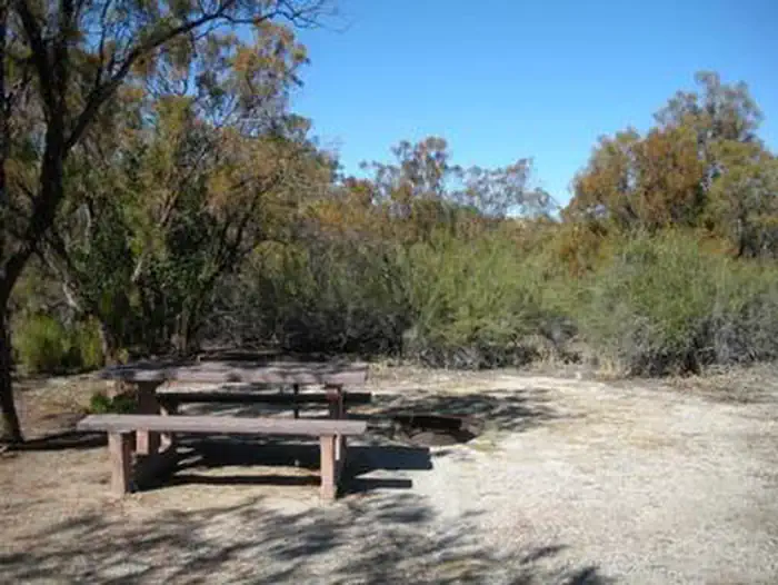
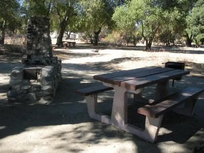
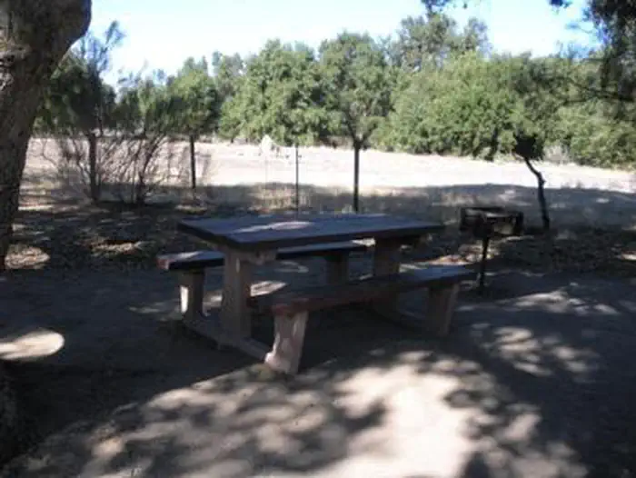
Overview Located on the Cleveland National Forest, Oak Grove Campground is nestled in a valley of large oak groves and manzanita. Recreation Oak Grove Trail is a short walk of 1.5 miles and is located across Rt. 79, behind the Ranger Station. Oak Grove Trail is the oldest established trail on the Palomar Ranger District. Although a steep trail, it offers great views of the San Jacinto and San Gorgonio Mountains and the Oak Grove Valley as you gain elevation. The trail connects with the Oak Grove Truck Trail offering access to High Point Lookout (an additional 5 miles one way). Be prepared with plenty of drinking water. Hikers interested in exploring will find nearby Agua Tibia Wilderness worth the drive as well. Facilities The campground is composed of two loops: Oak and Ribbonwood. Each campsite offers a picnic table and grill. There are flush toilets in Ribbonwood loop, and vault toilets on Oak loop. Drinking water is available. Natural Features The attractive campground is comprised of chaparral vegetation such as canyon live oaks, ribbonwood and chamise and offers open, but secluded sites. The area offers stargazers an opportunity to view the clear night skies. Birders will be pleased with the variety of wildlife and opportunities for viewing. The Cleveland National Forest also boasts such species as mountain lion, bobcat, mule deer, coyote, gray fox, ringtail cat, long tail weasel, opossum, jackrabbits, desert cottontails, and California ground squirrel among many others. Nearby Attractions Palomar State Park and Palomar Observatory are located on county Rt. S6, where an active telescope is available for viewing by the public. Temecula Wine Country is also within driving distance. The closest town is Warner Springs
From the USFS.Official page
Is OAK GROVE CAMPGROUND free?
No. OAK GROVE CAMPGROUND charges a fee. It is managed by the USFS. Sites are reservable through recreation.gov.
How do I get to OAK GROVE CAMPGROUND?
OAK GROVE CAMPGROUND is at 33.3865, -116.7914. We do not hold written directions for this one, so navigate to the coordinates.
What are the rules at OAK GROVE CAMPGROUND?
Vehicles 32 feet. max.
Nearby
- FRY CREEK CAMPGROUND5.9 mi
- OBSERVATORY CAMPGROUND5.9 mi
- Crestline6.6 mi
- Crestline Group Campground6.6 mi
- Indian Flats Campground8.1 mi
- Dripping Springs Campground11.5 mi
- DRIPPING SPRINGS CAMPGROUND (CA)11.7 mi
- RIBBONWOOD EQUESTRIAN CG23.4 mi
No other services within 50 mi on the record.
SourceData from the USFS. Last synced September 19, 2026. Community reports and photos are submitted by travelers and are not verified by the agency.
