
NAVAJO FLATS CAMPGROUND
Campground · Fee not listed
Fast facts
- Cost
- Not listed. Check locally.
- Type
- Campground
- Phone
- 805 434 1996
- Coordinates
- 35.3689, -120.3125
- Last verified
- September 19, 2026
About this place
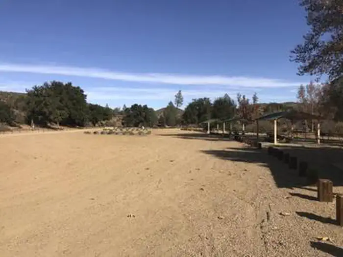
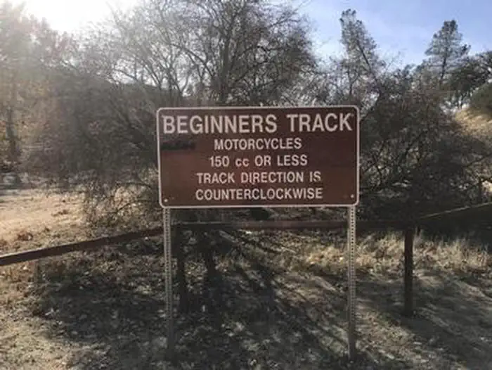
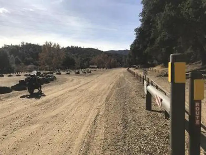
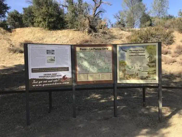
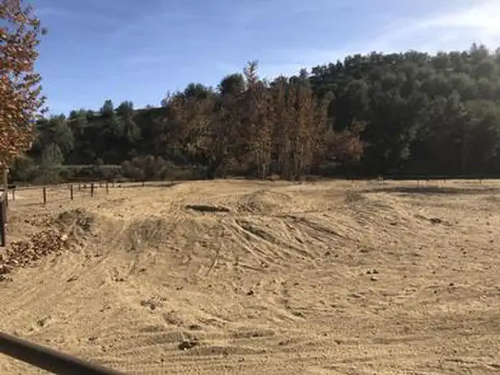
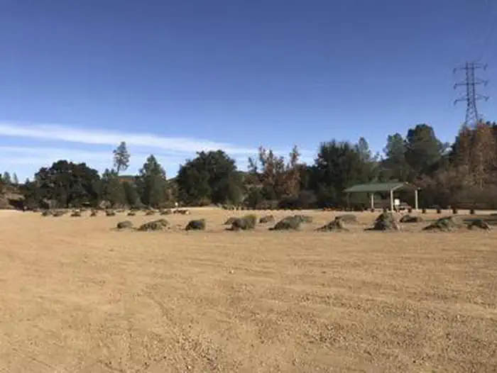
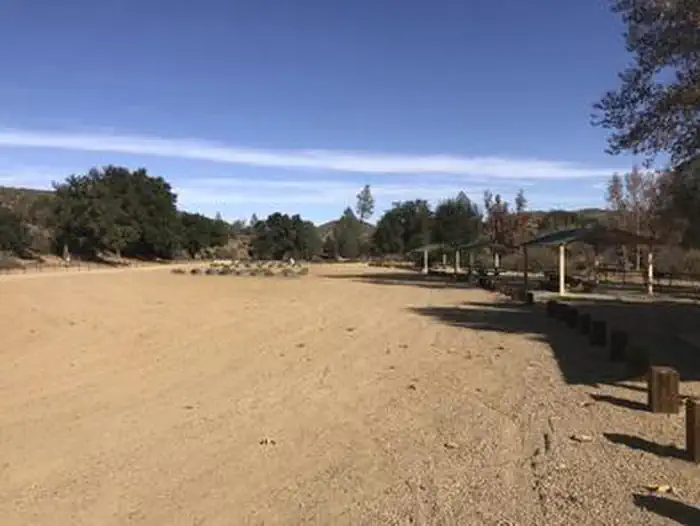
Overview Navajo Flat Campground, off-highway vehicle (OHV) Trailhead and day use area is an ideal location for OHV enthusiasts to enjoy the many trails in the surrounding area. A multi-use trail system that includes routes designated for motorcycles and all-terrain vehicles (ATVs) is located adjacent to this campground, known as a mecca for motorized fun. Recreation Navajo Flat Campground, OHV trailhead and day use area is best appreciated by true OHV enthusiasts. ATVs, quad runners, dual sports and single track riders will find easy access to 45 miles of marked and rated trails all accessible from your campsite. There is also a kid's track/beginner track located within the facility boundary. Motorized access leads to a wide variety of non-motorized activities such as hiking, fishing, hunting and equestrian trails. Facilities Open daily and year-round, Navajo Flat Campground has six campsites, five of which include a shaded canopy structure, all include a fire ring and picnic table. There is one vault toilet. You should plan to be completely self-sustainable for the duration of your trip. There is no potable water (drinking water) or electricity onsite. There is no dump station. This facility is "Pack it in. Pack it out." Natural Features Oak, conifer and various chaparral trees dot the landscape in this rider's paradise. The terrain is mostly rocky and hard packed. The views of the coastline and the Sierra Mountains on clear days can be enjoyed from the higher peaks such as Pozo Summit. Navajo Flat Campground, OHV trailhead and day use area includes a kiosk outlining information about the ecosystem, Tread Lightly and Leave No Trace ethics, as well as an OHV trail map of the area. Nearby Attractions Hiking trails, hunting, mountain biking, fishing and shopping are all within 29 miles of the campground.
From the managing agency.
Is NAVAJO FLATS CAMPGROUND free?
We do not have a fee on record for NAVAJO FLATS CAMPGROUND. Confirm the cost locally before you go.
How do I get to NAVAJO FLATS CAMPGROUND?
NAVAJO FLATS CAMPGROUND is at 35.3689, -120.3125. We do not hold written directions for this one, so navigate to the coordinates.
Nearby
- Friis1.3 mi
- Navajo Flat/Ohv Staging Area1.8 mi
- TURKEY FLAT OHV STAGING AREA2.6 mi
- La Panza2.8 mi
- LA PANZA CAMPGROUND3.2 mi
- American Canyon Campground6.4 mi
- American Canyon6.5 mi
- Hi Mountain9.4 mi
No other services within 50 mi on the record.
SourceSource data is agency published. Last synced September 19, 2026. Community reports and photos are submitted by travelers and are not verified by the agency.
