
MERRILL CAMPGROUND
USFS · Campground · Fee
Fast facts
- Cost
- Fee charged
- Managed by
- USFS
- Type
- Campground
- Hours
- Quiet hours are 10:00 p.m. until 6:00 a.m.
- Reservations
- fs.usda.gov
- Nearest dump station
- Merrill Dump Site · 0.1 mi
- Coordinates
- 40.5481, -120.8120
- Last verified
- September 19, 2026
About this place
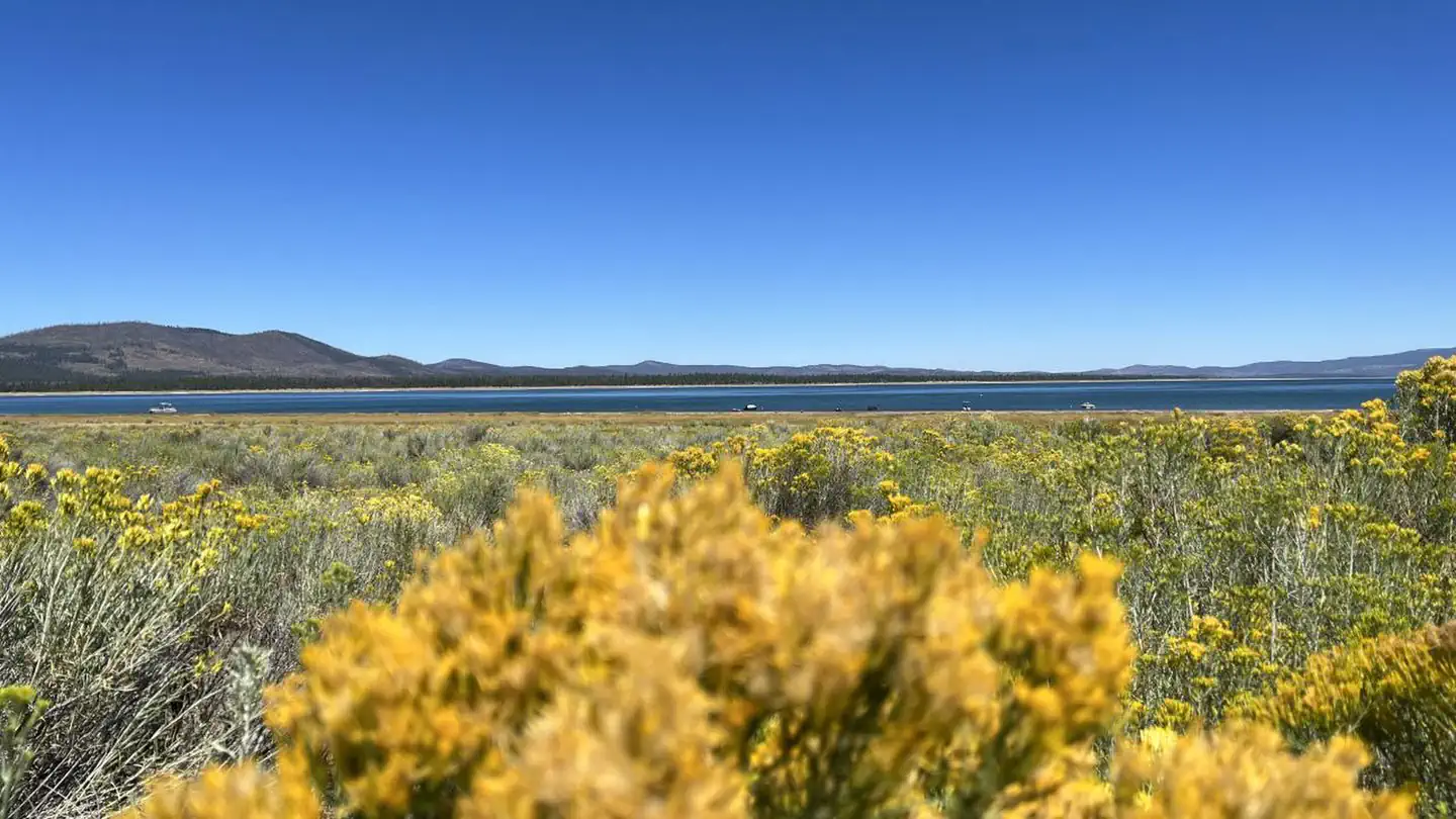
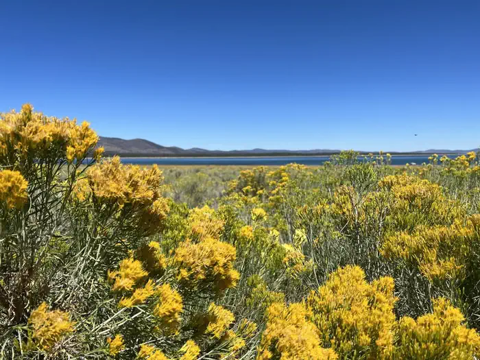
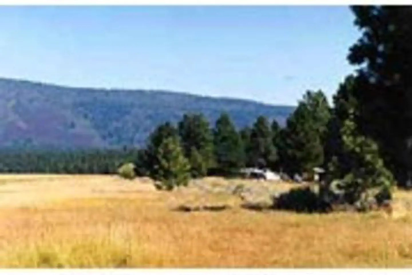
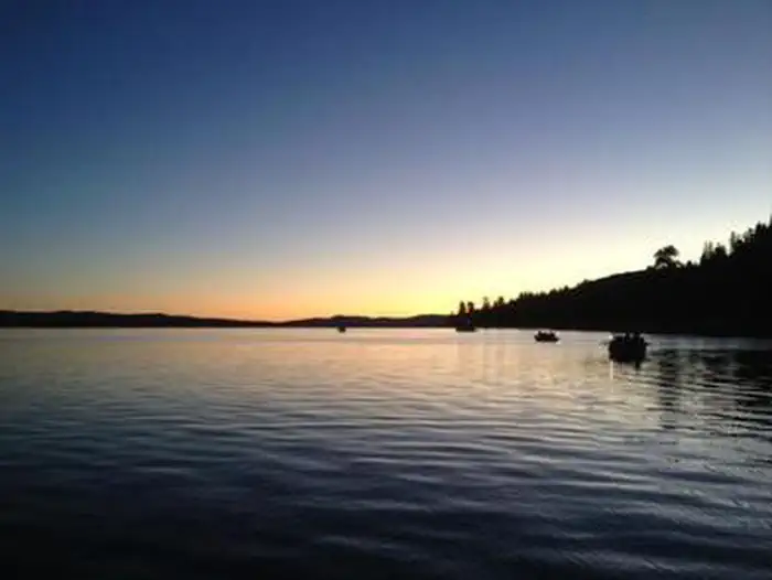
Overview Merrill Campground is located in the Eagle Lake Recreation Area of the Lassen National Forest. This recreation area has five campgrounds, three designated day use areas and a marina on the south shore of Eagle Lake. All of these recreation facilities are connected by a 5.2 mile paved hiking/bike trail. The Osprey Overlook, another day use area in the recreation area, can be hiked or driven to for a scenic view of the southern end of Eagle Lake and the surrounding forest basin. The Lassen National Forest offers a variety of lakes, streams and wilderness areas for recreational opportunities. The forest offers miles of trails that are used for hiking, mountain biking, off-highway vehicle riding and in the winter months, snowmobiling. Recreation Fishing for the Eagle Lake Rainbow Trout, a California Heritage Trout, is the primary recreational activity on Eagle Lake, but the 3rd largest natural lake in California (22,000 acres), provides for plenty of room for swimming, kayaking, skiing and all other boating activities by motor or sail. There are no 2-cycle restrictions for outboard boat motors or PWCs. Facilities Merrill Campground is a unique US Forest Service facility. Totally rebuilt in the early 2000s, it is the prototypical RV park in a Forest Service campground. With 57 full hook-up sites, 64 partial hook-up sites and 51 standard, no hook-up sites, Merrill offers whatever type of site you prefer. Partial hook-up sites have water and electric, no sewer. All electric hook-up sites have a 50, a 30 and two 20 amp outlets provided. All site camping/parking spurs are at least 45 feet, but most are 55 to 75 feet in length, and are essentially double wide. Each site is equipped with a table and a campfire ring with grill. The campground has flush toilets, potable water points, grey water dumps, limited WIFI and firewood is available for purchase. An RV Dump Station Facility is conveniently located just outside the campground with a $5 dump fee. Forty-five sites, #15-#42 and #57-#75, are designated walk-in sites, the other 125 are reservation sites. The paved bike path runs through the campground. The Eagle Lake Marina store with gas, propane, fishing and camping supplies, shower and laundry facilities and boat launch are located 2.5 miles from the campground. Natural Features Eagle Lake is located where the Sierras meet the Cascades at the southwestern end of the lake, and the Modoc Plateau of the Great Basin at the northeastern end. This unique location offers diverse landscapes, geology, wildlife and vegetation. Merrill Campground is located in a mature conifer forest of pines and firs on the southern shoreline of Eagle Lake, at an elevation of 5,100 feet. Nearby Attractions The Lassen National Forest has many other recreational opportunities and the Lassen Volcanic National Park is an easy day’s drive to and from Eagle Lake Recreational Area.
From the USFS.
Is MERRILL CAMPGROUND free?
No. MERRILL CAMPGROUND charges a fee. It is managed by the USFS. Sites are reservable through fs.usda.gov.
How do I get to MERRILL CAMPGROUND?
From Susanville, California, take Highway 36 west for 2 miles to County Road A-1. Turn north and continue 14 miles to the Eagle Lake Recreation Area. Continue past Gallatin Road, the first highway you will come to in the lake basin, and follow the signs to Merrill Campground. Located on County Road A-1.
Nearby
SourceData from the USFS. Last synced September 19, 2026. Community reports and photos are submitted by travelers and are not verified by the agency.
