
MCGEE CREEK
Campground · Fee not listed
Fast facts
- Cost
- Not listed. Check locally.
- Type
- Campground
- Phone
- 760-935-4213
- Nearest dump station
- Indian Creek Camp Ground-Trailer Dump Site · 97.6 mi
- Nearest water fill
- Indian Creek Camp Ground-Potable Water · 98.1 mi
- Coordinates
- 37.5644, -118.7847
- Last verified
- September 19, 2026
About this place
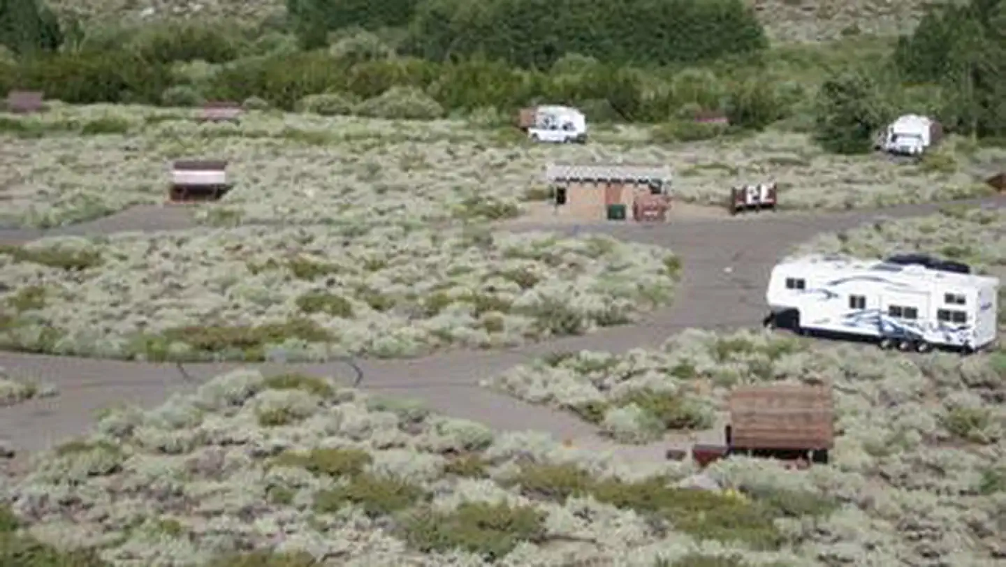
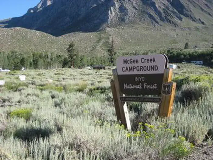
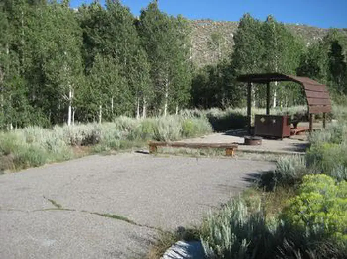
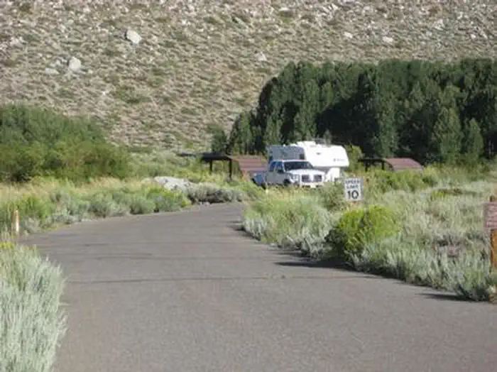
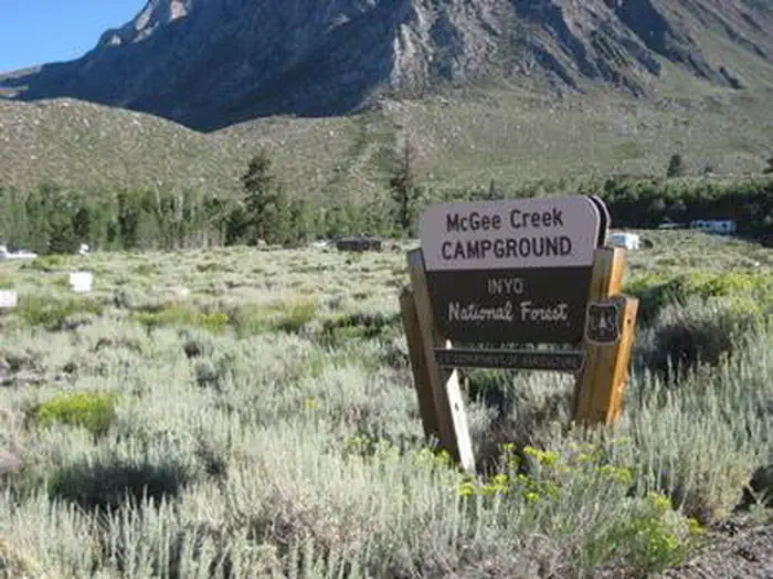
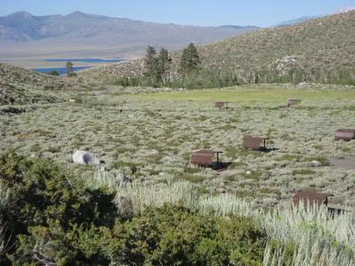
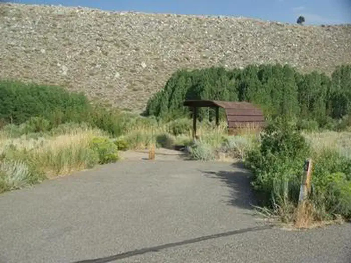
Overview McGee Campground provides a pleasant, sunny location for family camping between Bishop and Mammoth Lakes in the eastern Sierra Nevada Mountains. The campground's proximity to U.S. Highway 395 and the adjacent John Muir Wilderness make it a hot spot for hiking, rock climbing, fishing, wildlife viewing, horseback riding, hunting, photography and geology study. Recreation Majestic scenery and challenging trails draw in hikers, mountain bikers and equestrian enthusiasts. The McGee Creek Trailhead, a popular trail for hiking and horseback riding into the McGee Canyon area of the John Muir Wilderness, lies just two miles from the campground. The eastern Sierras are known for exceptional trout fishing. McGee Creek and nearby Crowley Lake have some of the best fishing in the area. The area's interesting geology also makes it popular for rock hounding. Facilities McGee offers about 28 reservable, open and sunny campsites. Each site has a picnic shelter. Roads and camping spurs are paved. Bear-proof lockers are provided for food storage and firewood is for sale on-site. Natural Features The campground is situated in an expanse of silvery white sagebrush and near a meadow lined with aspens. It sits at an elevation of 7,600 feet and offers outstanding views of high mountain peaks in the John Muir Wilderness. McGee Creek runs alongside it, with some sites sitting along the banks of the water. Nearby Attractions For campers interested in local events, Mule Days are held in Bishop over Memorial Day weekend, and the Mammoth Jazz Jubilee is hosted in Mammoth in mid-July. Visitors can explore the magnificent John Muir Wilderness, which stretches for 100 miles along the crest of the Sierra Nevada Mountains. It is a land of lofty snow-capped mountains, deep canyons and vast expanses of glacially-carved terrain, and offers extensive hiking, mountain biking and horseback riding trails.
From the managing agency.
Is MCGEE CREEK free?
We do not have a fee on record for MCGEE CREEK. Confirm the cost locally before you go.
How do I get to MCGEE CREEK?
MCGEE CREEK is at 37.5644, -118.7847. We do not hold written directions for this one, so navigate to the coordinates.
Nearby
- Mcgee Creek Campground0.0 mi
- Crowley Lake Campground1.0 mi
- Crowley Lake Campground1.0 mi
- Mcgee Creek Campground1.4 mi
- Convict Lake Campground4.1 mi
- CONVICT LAKE CAMPGROUND4.3 mi
- ASPEN GROUP (INYO)4.9 mi
- Aspen Group Campground5.0 mi
- Indian Creek Camp Ground-Trailer Dump Site97.6 mi
- Indian Creek Camp Ground-Potable Water98.1 mi
SourceSource data is agency published. Last synced September 19, 2026. Community reports and photos are submitted by travelers and are not verified by the agency.
