
MANZANITA LAKE GROUP CAMPGROUND
Campground · Fee not listed
Fast facts
- Cost
- Not listed. Check locally.
- Type
- Campground
- Phone
- 530-595-6121
- Nearest dump station
- Old Station Dump Site · 12.6 mi
- Coordinates
- 40.5292, -121.5639
- Last verified
- September 19, 2026
About this place
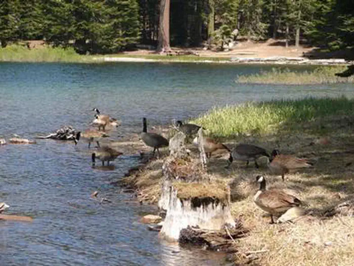
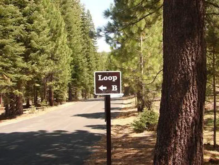
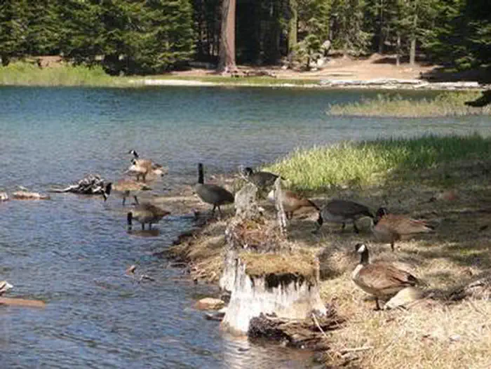
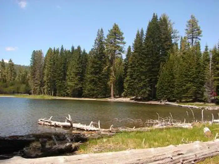
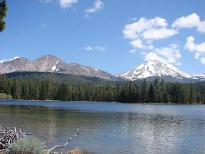
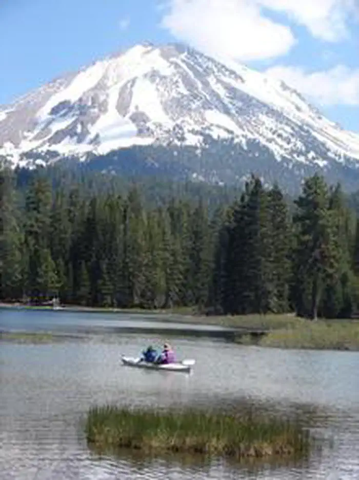
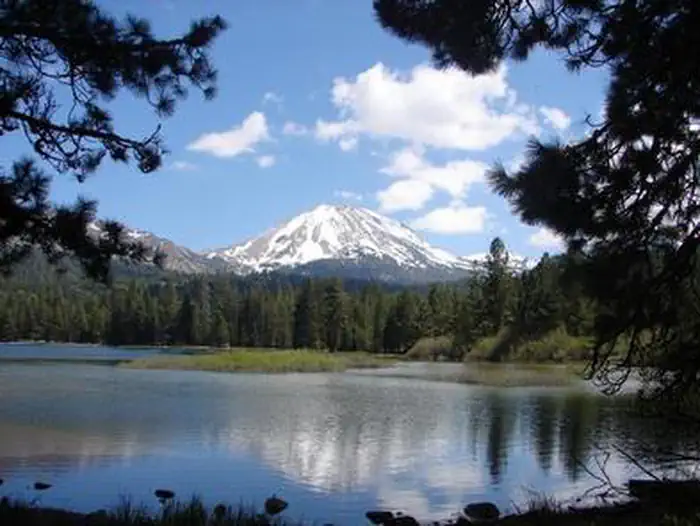
Overview Manzanita Lake Group Campground is located at the west end of Loop B in Manzanita Lake Campground, the largest campground in Lassen Volcanic National Park. It is within walking distance of scenic Manzanita Lake, a popular fishing and family destination, and offers impressive views of Lassen Peak, the largest volcano in the park at 10,457 feet. Recreation Manzanita Lake is popular with fly fishermen who enjoy the catch-and-release policy. Non-motorized boating is also permitted and kayak rentals are available nearby. The park boasts more than 150 miles of hiking trails, a variety of which can be accessed from the campground. Many family-friendly hikes are available, as well as those for more experienced hikers. Facilities The group campground is equipped with picnic tables, campfire rings and food storage lockers. Flush toilets, showers and drinking water are provided. A camp host is on-site. This facility is conveniently located one mile south of the northern park entrance, close to the Loomis Museum, Loomis Ranger Station and popular hiking trails. Campfire and educational programs are presented at the museum and amphitheater. Natural Features The campground is situated at an elevation of 5,900 feet, adjacent to Manzanita Lake, surrounded by towering Jeffrey and ponderosa pines. The national park is known for its volcanic history, as well as its diversity of more than 950 species of animals and flowering plants. The park is at the junction of the Cascade Mountains, the Sierra Nevada Mountains and the Great Basin, thus providing many unique habitats. Lassen contains 300 active volcanic domes, as well as many hydrothermal features, such as mud pots and steam vents. Lassen Peak is the southernmost active volcano in the Cascades, and the second most recent to erupt in the lower 48 states, after Mount St. Helens.
From the managing agency.
Is MANZANITA LAKE GROUP CAMPGROUND free?
We do not have a fee on record for MANZANITA LAKE GROUP CAMPGROUND. Confirm the cost locally before you go.
How do I get to MANZANITA LAKE GROUP CAMPGROUND?
MANZANITA LAKE GROUP CAMPGROUND is at 40.5292, -121.5639. We do not hold written directions for this one, so navigate to the coordinates.
Nearby
SourceSource data is agency published. Last synced September 19, 2026. Community reports and photos are submitted by travelers and are not verified by the agency.
