
MAMMOTH POOL
Campground · Fee not listed
Fast facts
- Cost
- Not listed. Check locally.
- Type
- Campground
- Phone
- 559-642-3212
- Nearest dump station
- Indian Creek Camp Ground-Trailer Dump Site · 99.3 mi
- Nearest water fill
- Indian Creek Camp Ground-Potable Water · 99.8 mi
- Coordinates
- 37.3447, -119.3331
- Last verified
- September 19, 2026
About this place
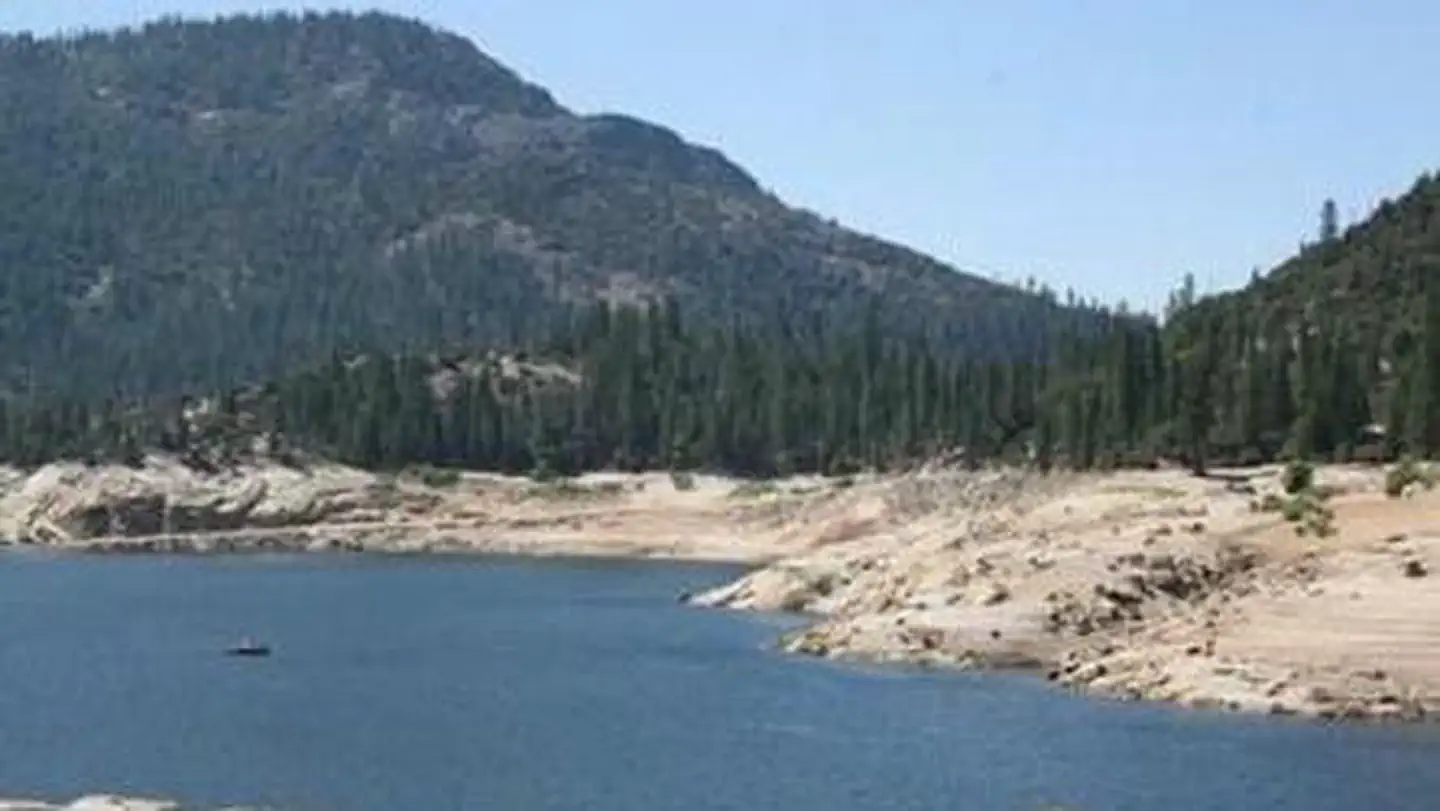
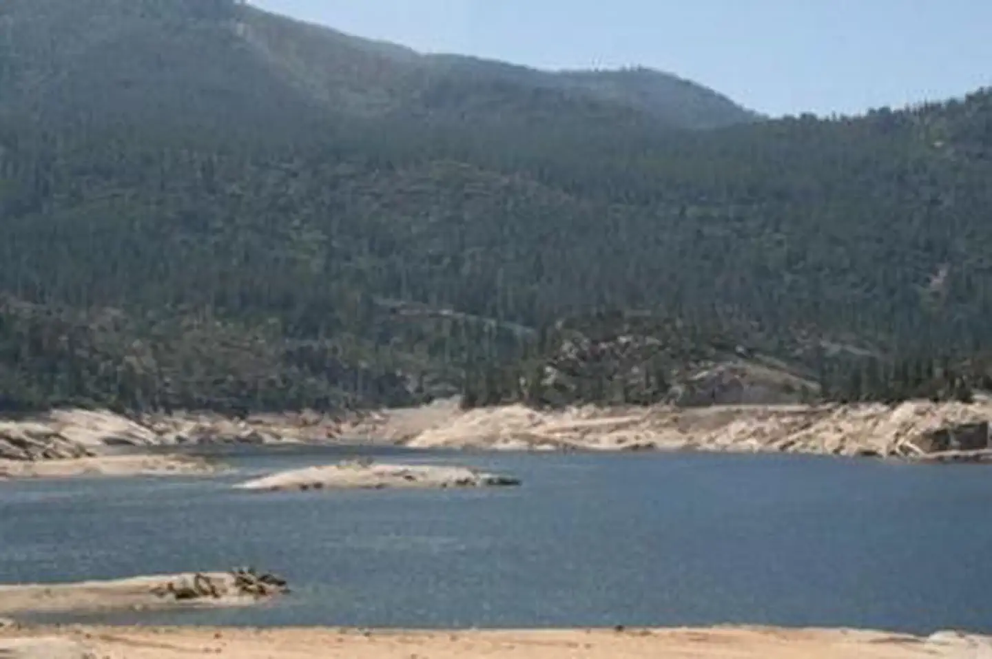
Overview Mammoth Pool will be closed until further notice due to a massive hazard tree removal. Mammoth Pool Campground is located half a mile from the recreation area at Mammoth Pool Reservoir. This primitive campground winds through a stand of Ponderosa pine and cedar trees along the San Joaquin River in the midst of a mountainous landscape. Recreation Mammoth Pool Reservoir offers a variety of recreational activities, including fishing, boating, hiking and wildlife viewing. A boat ramp is available at the reservoir. Hikers can access the nearby French Trail, a 12.7-mile foot trail that provides access to the Ansel Adams Wilderness. Facilities Each campsite has a picnic table, grill and campfire ring. Vault toilets are provided, but campers must bring drinking water. Campers will find a pay phone, gas and camping supplies at nearby Wagner's Mammoth Pool Resort. Natural Features The Sierra National Forest, located on the western slope of the central Sierra Nevada, is known for its spectacular mountain scenery and abundant natural resources. The terrain includes rolling, oak-covered foothills, heavily forested middle elevation slopes and the starkly beautiful alpine landscape of the High Sierra. Mammoth Pool Campground is located near the Ansel Adams Wilderness, known for its jagged peaks, including 13,157-foot Mt. Ritter, and numerous lakes and streams. Nearby Attractions A popular pastime in the area is to take a drive on the 83-mile Sierra Vista Scenic Byway.
From the managing agency.
Is MAMMOTH POOL free?
We do not have a fee on record for MAMMOTH POOL. Confirm the cost locally before you go.
How do I get to MAMMOTH POOL?
MAMMOTH POOL is at 37.3447, -119.3331. We do not hold written directions for this one, so navigate to the coordinates.
Nearby
- Mammoth Pool Campground0.0 mi
- SWEETWATER1.8 mi
- Sweetwater Campground1.8 mi
- Placer Campground2.4 mi
- China Bar Camping Area2.5 mi
- Little Jackass Campground3.8 mi
- Rock Creek Campground3.9 mi
- Rock Creek (Sierra National Forest, CA)4.0 mi
- Indian Creek Camp Ground-Trailer Dump Site99.3 mi
- Indian Creek Camp Ground-Potable Water99.8 mi
SourceSource data is agency published. Last synced September 19, 2026. Community reports and photos are submitted by travelers and are not verified by the agency.
