
Madrone Cove Boat-in Campground
Campground · Fee not listed
Fast facts
- Cost
- Not listed. Check locally.
- Type
- Campground
- Phone
- 530-478-6253
- Nearest dump station
- Sugar Pine Dump Station · 31.0 mi
- Nearest water fill
- Indian Creek Camp Ground-Potable Water · 89.2 mi
- Coordinates
- 39.4692, -121.1642
- Last verified
- September 19, 2026
About this place
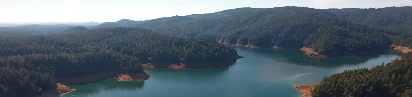
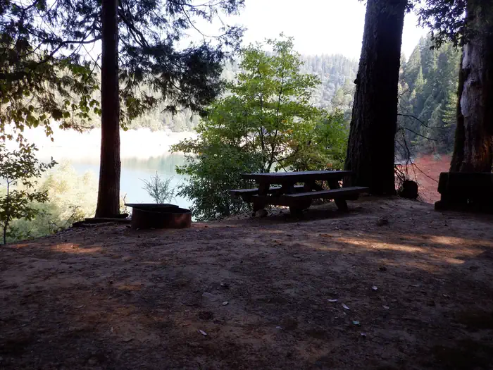
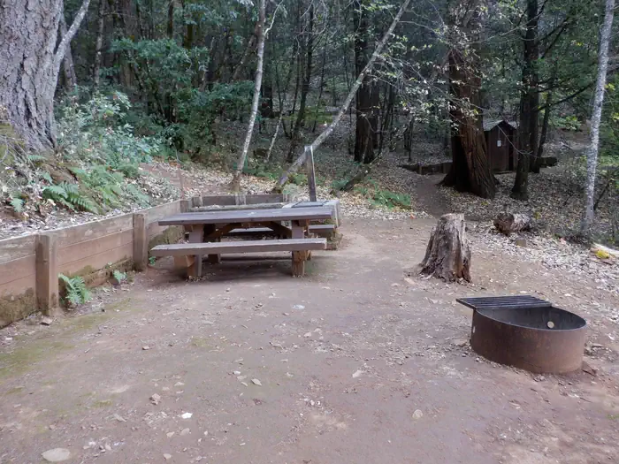
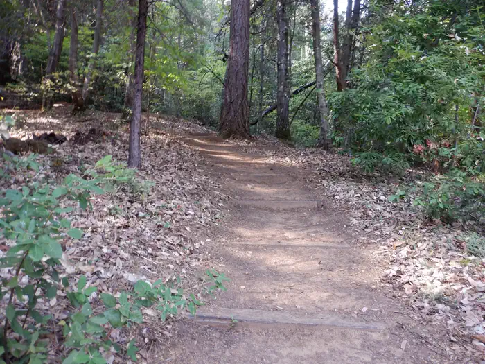
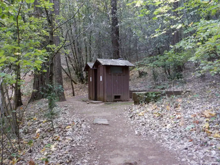
Overview Bullards Bar Reservoir is located on the North Yuba River at an elevation of 2000 feet. It is located approximately 21 miles north of Nevada City, California. It has a maximum surface area of 4,760 acres and a length of over 16 miles and shoreline of more than 60 miles. Recreation Activities include wildlife viewing, hiking, mountain biking, horseback riding, camping, fishing, boating, water skiing, and other water sports. Swimming opportunities are limited because of the steep slopes; however boaters will find numerous opportunities for swimming in various locations around the reservoir. The reservoir provides yearlong fishing opportunities for both warm and cold water fish species. Supplies are available at the marina as well as the nearby communities of Camptonville, North San Juan, and Dobbins. Facilities Public access for boating and recreation is limited to 2 developed and 1 undeveloped boat launches: the Cottage Creek Boat Launch ramp at Emerald Cove Marina (aprox. 6 miles from campground by boat), the Dark Day Boat Launch ramp (aprox. 5 miles from campground by boat), and the undeveloped site at the end of Moran Road. The area includes 5 campgrounds, 2 picnic areas, 2 boat launch ramps, 1 marina, 1 overlook, 1 day use area and several developed hiking trails. Natural Features The sides of the reservoir are generally steep and public access for boating and recreation is limited. The reservoir is surrounded by both conifer and hardwood forests with numerous brush species. There is plenty of shade at the campsites Nearby Attractions There is a beautiful non- motorized trail system in the area, with 5 different trails to choose from. Bullards Bar Trailhead is 14 miles, 7 Ball Trial is 1 mile, 8 Ball Trail is 3.8 miles, Rebel Ridge Trail is 1.6 miles and Schoolhouse Trail is 0.7 miles. Maps are available at the North Yuba Ranger Station just a couple miles east of the reservoir on Marysville Road. Contact Info This location is unstaffed. To speak with our main office for general information, please call: (530) 265-4531. Charges & Cancellations No Show Policy A no-show customer is one who does not arrive at a campground and does not cancel the reservation by check-out time on the day after the scheduled arrival date (or for day-use facilities, by check-in time the day of arrival). * No-show customers are only recorded at staffed facilities. At most remote facilities, all customers are noted as automatically checked-in on the date of arrival. * It is recommended that staffed facilities hold a campsite until check-out time on the day following the arrival date. * It is recommended that staffed facilities hold group day-use facilities until check-in time on the arrival date. There is no change fee if a customer extends or shortens a reservation if the change includes dates from the original reservation. If they choose to depart early, they may forfeit some or all of the recreation fees. There is no change fee if the customer changes campsites that are the same price and on the same reservation dates in the same campground. If the campsite the customer is changing to has a price difference, the customer will be responsible for any additional fees or be provided with a refund, based on the price difference. Where recorded, no-show customers are assessed a $20.00 no-show fee and forfeit the first night's recreation fee for a campsite or forfeit the entire day-use recreation fee for a day-use facility. We recommend customers contact the facility if they are en route to their reservation but cannot make it by the check-in date. In these cases, no refund will be issued, but the facility can ensure that a "no-show" fee is not assessed.
From the managing agency.
Is Madrone Cove Boat-in Campground free?
We do not have a fee on record for Madrone Cove Boat-in Campground. Confirm the cost locally before you go.
How do I get to Madrone Cove Boat-in Campground?
Madrone Cove Boat-in Campground is at 39.4692, -121.1642. We do not hold written directions for this one, so navigate to the coordinates.
Nearby
- Madrone Cove Campground0.0 mi
- Frenchy Point Campground1.0 mi
- Garden Point Campground3.3 mi
- Garden Point Boat-in Campground3.3 mi
- Dark Day Campground4.1 mi
- Schoolhouse Campground (CA) 4.2 mi
- Schoolhouse Campground4.2 mi
- Hornswoggle Group Campground4.4 mi
- Sugar Pine Dump Station31.0 mi
- Indian Creek Camp Ground-Potable Water89.2 mi
SourceSource data is agency published. Last synced September 19, 2026. Community reports and photos are submitted by travelers and are not verified by the agency.
