
LITTLE LASIER MEADOWS CAMPGROUND
Campground · Fee not listed
Fast facts
- Cost
- Not listed. Check locally.
- Type
- Campground
- Phone
- 530-994-3401
- Nearest dump station
- Jackson Meadows Rv Dump Station · 1.4 mi
- Nearest water fill
- Indian Creek Camp Ground-Potable Water · 64.4 mi
- Coordinates
- 39.4906, -120.5156
- Last verified
- September 19, 2026
About this place
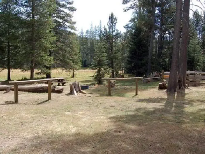
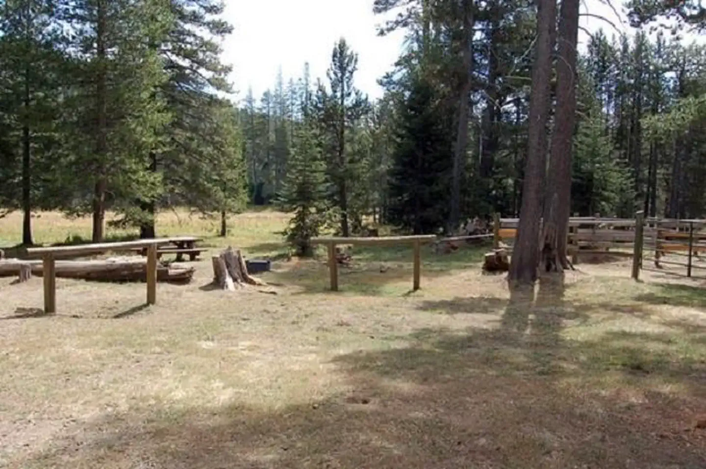
Overview Little Lasier Meadows Campground is a horse camp near scenic Jackson Meadow Reservoir, approximately 32 miles north of Truckee, in the Tahoe National Forest. The location provides a great base camp for a wide range of recreational activities, including boating, fishing, hiking, horseback riding and hunting. The Pacific Crest Trail passes just half a mile away from the campground. This facility is operated and maintained by the Tahoe National Forest. Recreation Jackson Meadow Reservoir offers excellent opportunities for boating, canoeing, water skiing, swimming and fishing. Anglers will find rainbow and brown trout. A boat ramp is located at Pass Creek Campground. A designated swim beach is nearby. A portion of the Pacific Crest Trail meanders a half-mile near the campground. Hunting and biking are popular activities in the surrounding area. Facilities The campground offers equestrian sites for campers with horses. Sites are equipped with picnic tables, campfire rings and hitching racks. A shared horse corral is on-site. Vault toilets and drinking water are provided. Natural Features Nearby Jackson Meadow Reservoir is situated in a rolling forested valley, where visitors are awarded beautiful views of the Sierra Crest and English Mountain. The campground lies in a grassy meadow surrounded by lodgepole pine and fir trees, at an elevation of 6,511 feet. Nearby Attractions Jackson Meadows Reservoir and Recreation Area, numerous hiking, biking, and equestrian trails including the Pacific Crest Trail. A connector trail links the campground to the PCT only a half mile away. Milton and Bowman Reservoirs, and the Grouse Ridge Non-Motorized Area are also nearby.
From the managing agency.
Is LITTLE LASIER MEADOWS CAMPGROUND free?
We do not have a fee on record for LITTLE LASIER MEADOWS CAMPGROUND. Confirm the cost locally before you go.
How do I get to LITTLE LASIER MEADOWS CAMPGROUND?
LITTLE LASIER MEADOWS CAMPGROUND is at 39.4906, -120.5156. We do not hold written directions for this one, so navigate to the coordinates.
Nearby
- Little Lasier Meadow Horse Camp0.1 mi
- EAST MEADOW CAMPGROUND1.1 mi
- PASS CREEK CAMPGROUND1.4 mi
- Pass Creek Campground Annex1.4 mi
- Jackson Boat-in Campground1.6 mi
- WOODCAMP CAMPGROUND1.8 mi
- FIR TOP CAMPGROUND1.9 mi
- FINDLEY CAMPGROUND2.0 mi
- Jackson Meadows Rv Dump Station1.4 mi
- Indian Creek Camp Ground-Potable Water64.4 mi
SourceSource data is agency published. Last synced September 19, 2026. Community reports and photos are submitted by travelers and are not verified by the agency.
