
LIGHTNING POINT GROUP CAMPGROUND
Campground · Fee not listed
Fast facts
- Cost
- Not listed. Check locally.
- Type
- Campground
- Phone
- 818-899-1900
- Coordinates
- 34.3719, -118.1831
- Last verified
- September 19, 2026
About this place
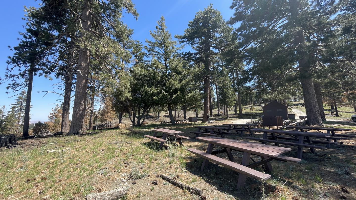
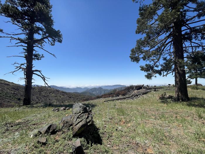
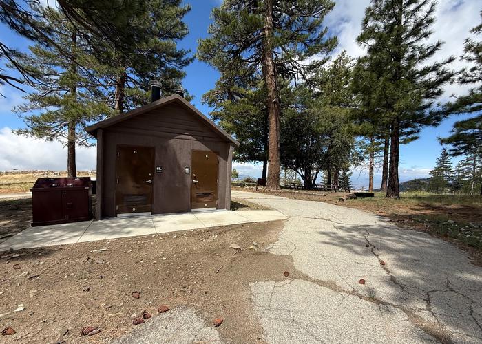
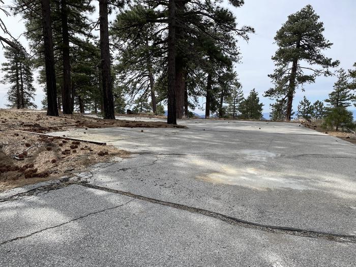
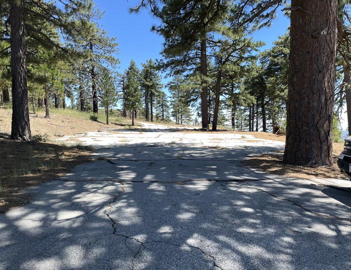
Overview Lightning Point Campground sits at an elevation of 6,100 feet, about 25 miles southeast of Palmdale and roughly 35 miles north of the San Fernando Valley. Nestled among Jeffrey pines, scrub oaks, and manzanita, the campground offers accommodations for both group visitors and equestrian campers. The nearby Pacific Crest National Scenic Trail is a favorite destination, providing access to a route that stretches from Canada to Mexico and showcases six of North America’s seven ecozones. Recreation Hiking, bird watching/wildlife viewing, horseback riding/horse camping, are the biggest attractions for campers. Angeles National Forest boasts 557 miles of hiking and equestrian trails. All trails, excluding the Pacific Crest Trail, allow mountain biking as well. Facilities This peaceful campground has 5 group campsites each accommodating different group sizes. Campsite #1: 6 Tables, Capacity 45 Campsite #2: 4 Tables, Capacity 36 Campsite #3: 6 Tables, Capacity 45 Campsite #4: 5 Tables, Capacity 40 Campsite #5: 4 Tables, Capacity 36 2 Horse corrals located near campsites 4 and #5. Horses are not required to reserve sites. 3 double vault pit toilets located near campsites. 2 lots for overflow parking at the center of the campground. Natural Features Located at 6,100 feet, the area experiences warm summer days in the low 80s and cool, refreshing nights. The Angeles National Forest showcases a wide range of vegetation, with chaparral and oak woodlands at lower elevations and pine forests at higher elevations. Overall, the landscape ranges from low canyons at around 1,200 feet to rugged mountain peaks reaching up to 10,000 feet, offering diverse scenery throughout the region. Nearby Attractions Hop in the car and drive along the Angeles Crest Highway, a scenic byway that meanders through oak thickets, chaparral, high desert landscapes and pine tree forests.
From the managing agency.
Is LIGHTNING POINT GROUP CAMPGROUND free?
We do not have a fee on record for LIGHTNING POINT GROUP CAMPGROUND. Confirm the cost locally before you go.
How do I get to LIGHTNING POINT GROUP CAMPGROUND?
LIGHTNING POINT GROUP CAMPGROUND is at 34.3719, -118.1831. We do not hold written directions for this one, so navigate to the coordinates.
Nearby
- Lightning Point Campground0.0 mi
- Messenger Flats Campground0.6 mi
- Monte Cristo Campground4.6 mi
- Mt. Pacifico Campground8.6 mi
- Bear Canyon Campground9.5 mi
- MEADOW GROUP CAMPGROUND10.0 mi
- COULTER GROUP CAMPGROUND10.0 mi
- Horse Flats Campground10.1 mi
No other services within 50 mi on the record.
SourceSource data is agency published. Last synced September 19, 2026. Community reports and photos are submitted by travelers and are not verified by the agency.
