
LAKESHORE EAST
Campground · Fee
Fast facts
- Cost
- Fee charged
- Type
- Campground
- Nearest dump station
- Old Station Dump Site · 52.3 mi
- Coordinates
- 40.8719, -122.3881
- Last verified
- September 19, 2026
About this place
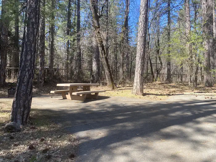
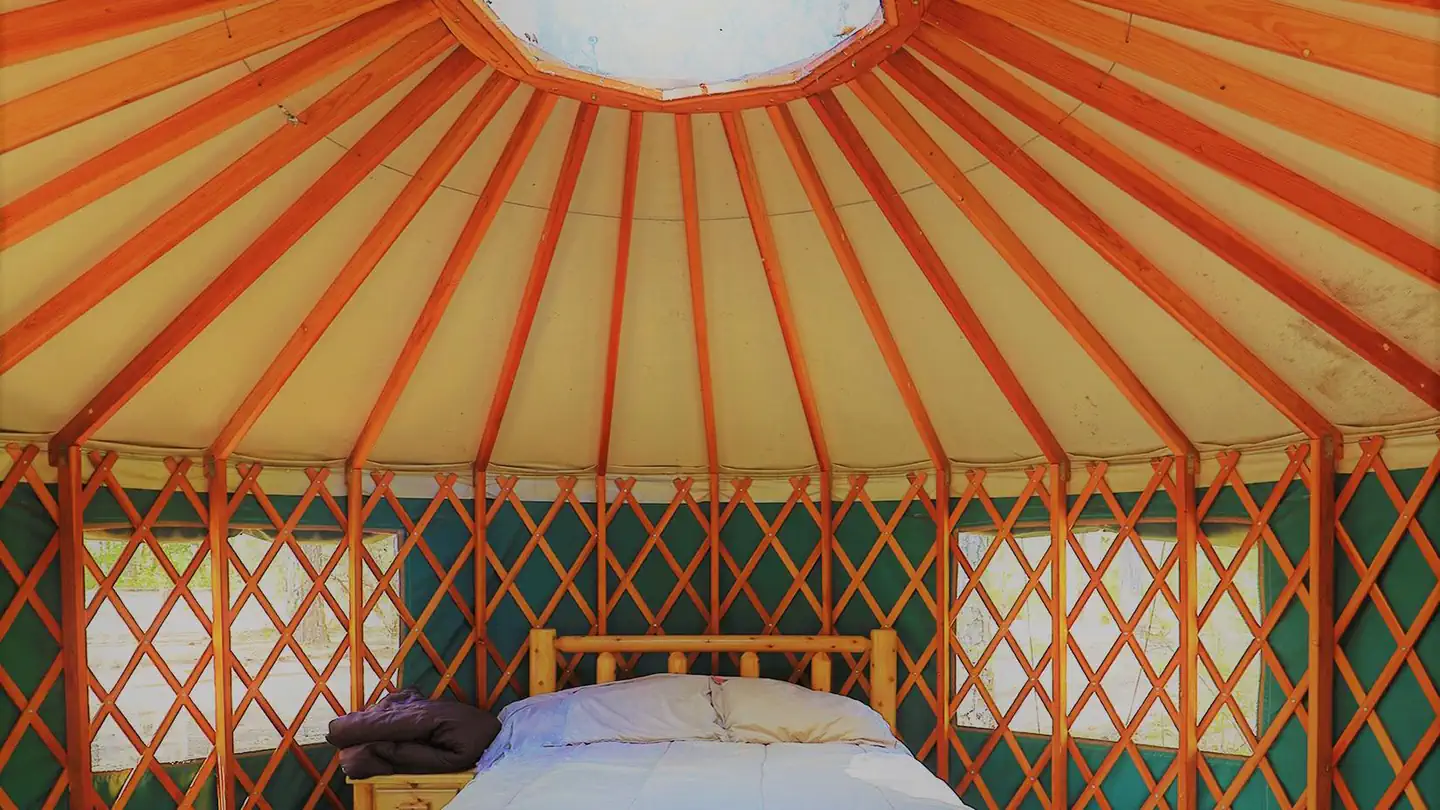
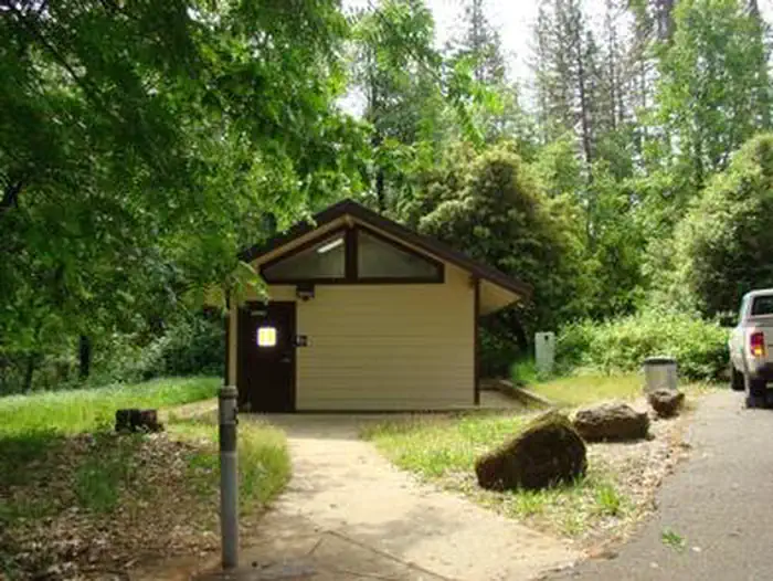
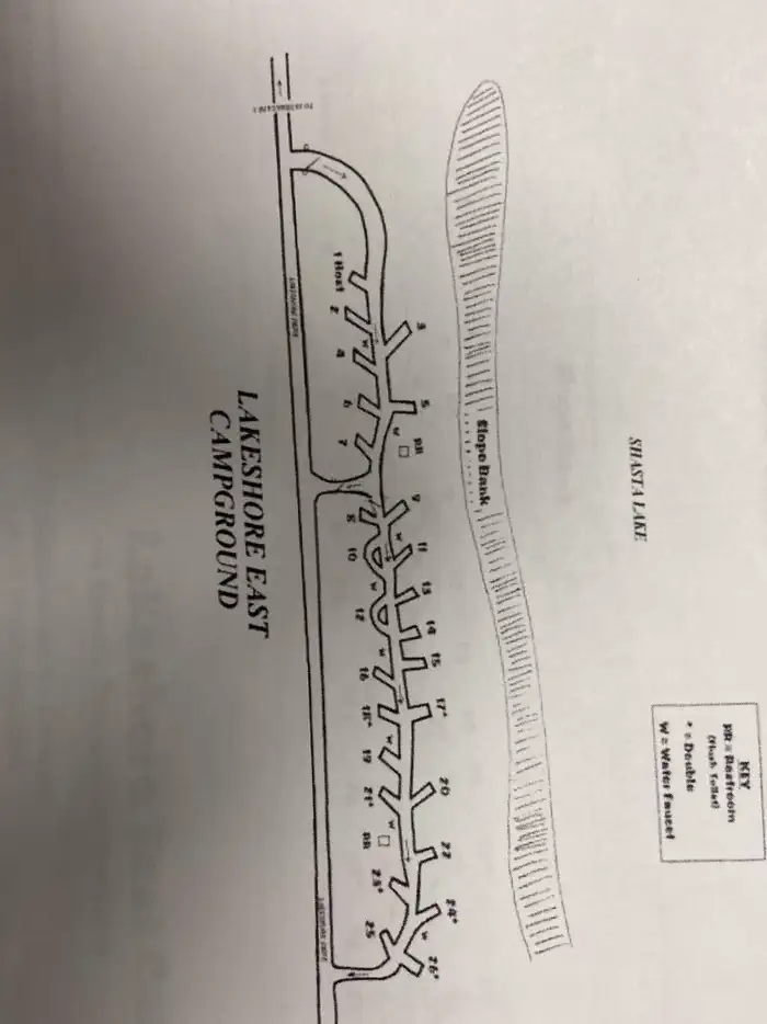
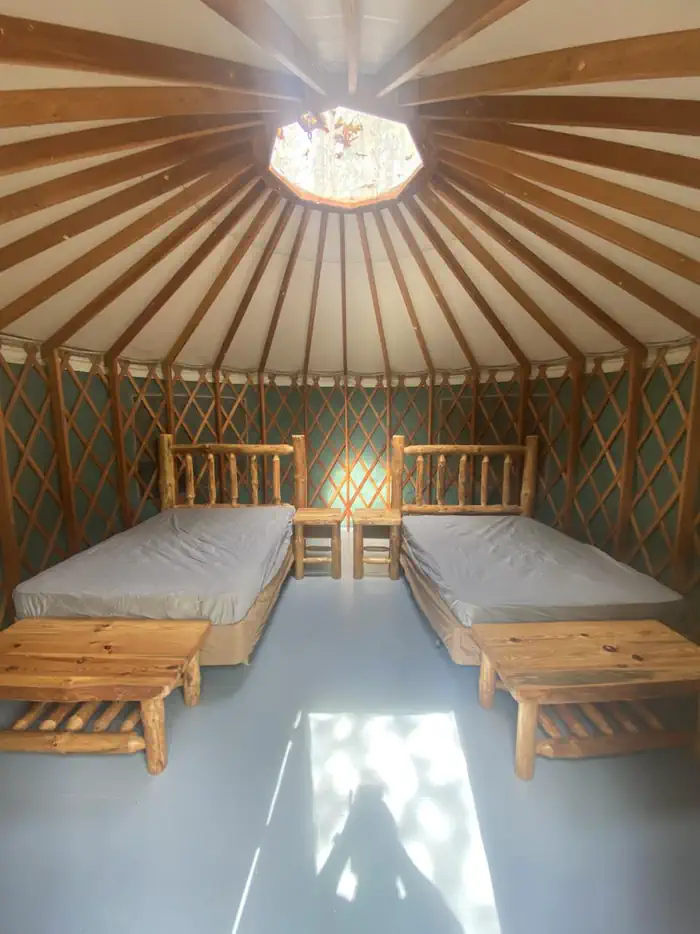
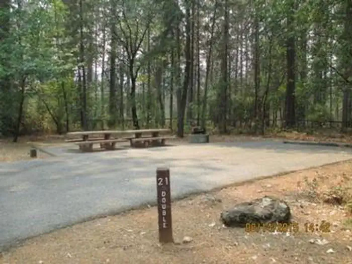
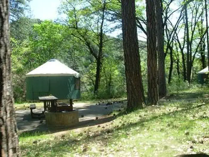
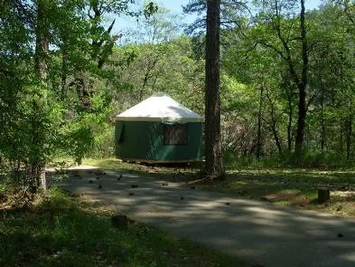
Overview Lakeshore East sits along the shore of the Sacramento Arm of Shasta Lake. The facility is partially shaded by oak and pine and provides some privacy between sites with an undergrowth of grass and raspberry bushes. Lakeshore East is easily accessible from I-5 and offers direct access to the lake from a number of sites. Walk-ins are accepted year-round. Recreation Both the Antlers and Sugar Loaf public boat ramps are nearby. Antlers is approximately 2 miles from the campground. Power and non-motorized boating, fishing and waterskiing are all popular pastimes. Visitors may be able to informally moor their boats at the campground. Anglers can fish for trout, catfish, Chinook salmon, crappie, bluegill, white sturgeon, brown bullhead and bass. Facilities Each site has a picnic table, raised fire ring and paved parking spur. Two yurts, which are sturdy, weather-proof shelters, are available for rent year-round. The campground has sites that can accommodate tents as well as trailers, although there are no electrical hookups or dump stations for trailers. Standard single sites can accommodate up to 8 people and an unlimited number of tents; double sites can accommodate up to 16 people and an unlimited number of tents. Drinking water and flush toilets are provided, including flush toilets that meet current accessibility standards. Natural Features Shasta-Trinity is the largest national forest in California with a diverse landscape encompassing five wilderness areas, hundreds of mountain lakes and 6,278 miles of streams and rivers. Lake Shasta sits at an elevation of 1,067 feet, with 365 miles of shoreline punctuated by steep mountains blanketed in manzanita and evergreens. A snow-capped Mount Shasta, the second-tallest mountain in the Cascade Range, looms in the distance. Nearby Attractions Lake Shasta Caverns are located on the McCloud Arm of Shasta Lake in an area known as the Grey Rocks. Tours are given daily at this privately owned facility.
From the managing agency.
Is LAKESHORE EAST free?
No. LAKESHORE EAST charges a fee.
How do I get to LAKESHORE EAST?
LAKESHORE EAST is at 40.8719, -122.3881. We do not hold written directions for this one, so navigate to the coordinates.
Nearby
SourceSource data is agency published. Last synced September 19, 2026. Community reports and photos are submitted by travelers and are not verified by the agency.
