
ISLAND PARK
Campground · Fee not listed
Fast facts
- Cost
- Not listed. Check locally.
- Type
- Campground
- Phone
- 559-787-2589
- Coordinates
- 36.8646, -119.3157
- Last verified
- September 19, 2026


About this place
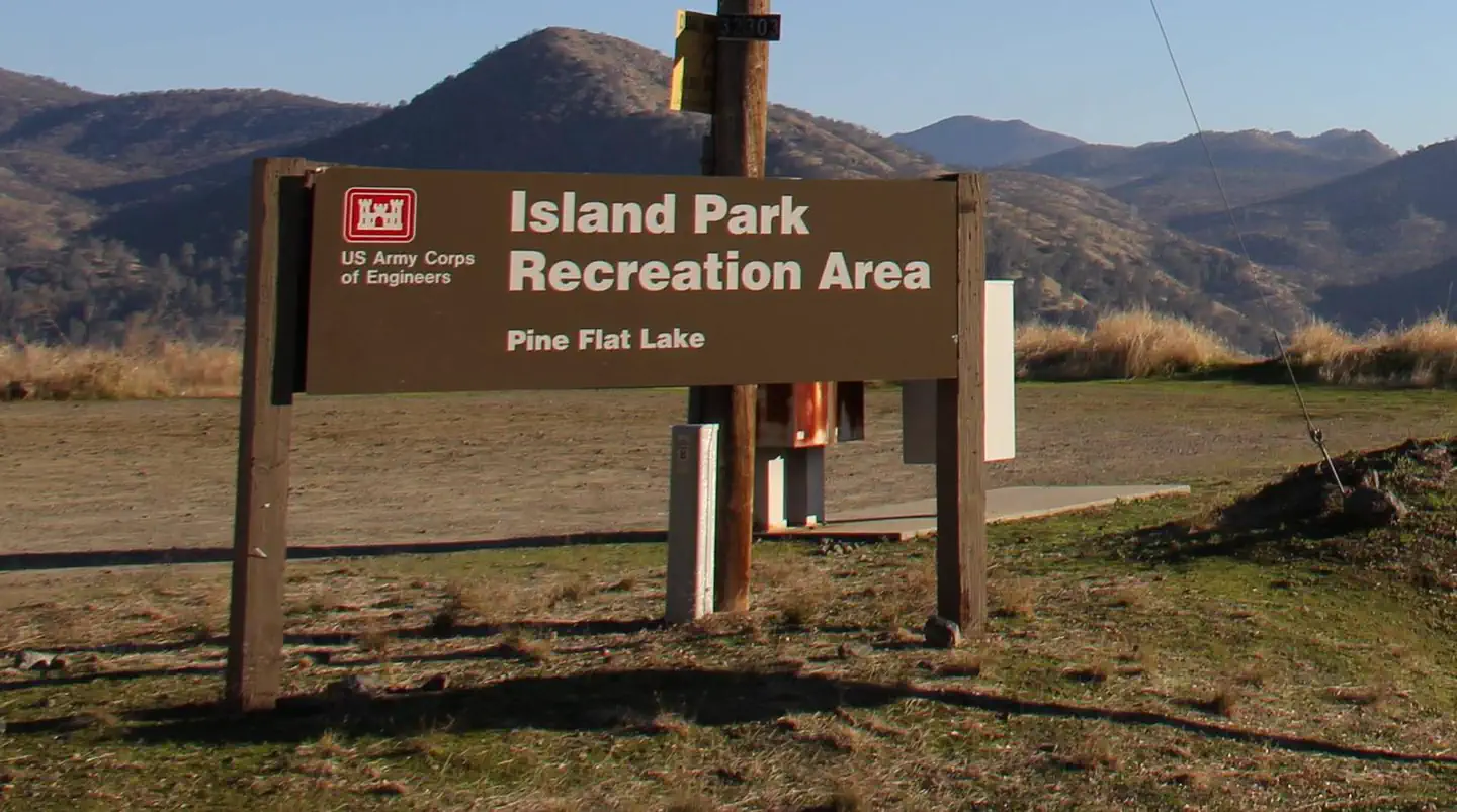
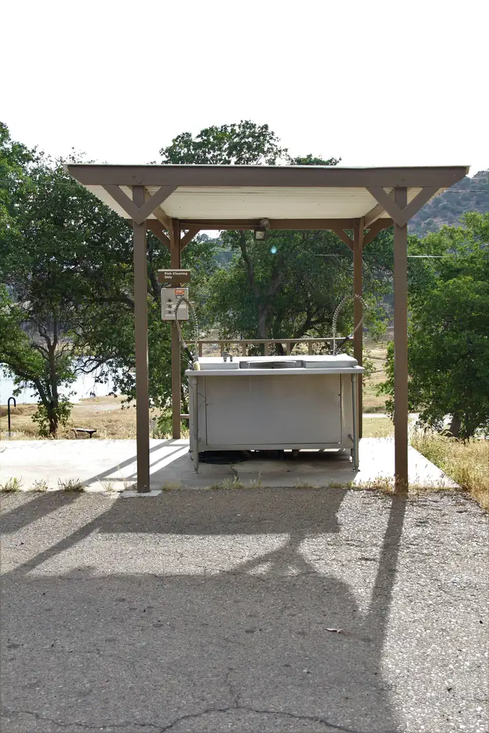
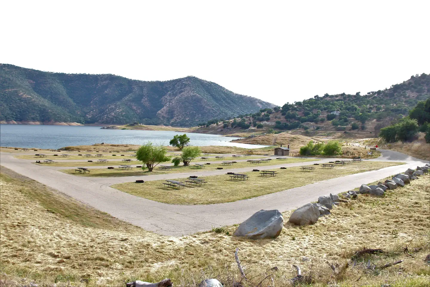
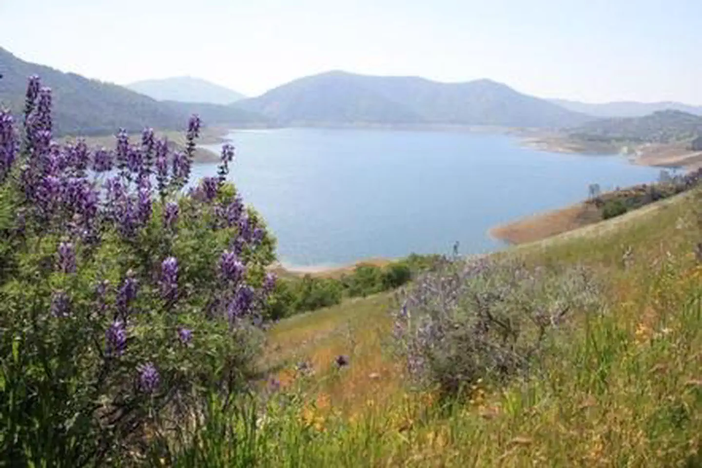
Overview Island Park Recreation Area is the place to go for campers looking for lots of exciting water activities at Pine Flat Lake. The area has plenty of campsites plus two group sites and a day-use area for boaters. Pine Flat Lake spans 20 miles in length with 67 miles of shoreline. The lake, formed in 1954 with the completion of the Pine Flat Dam, is used for flood control and irrigation as well as a recreation oasis for the area. Wildlife spotting opportunities include bobcats and red-tailed hawks. Recreation Boating, jet skiing and fishing are some of the most popular activities at the lake. Anglers can find small and large-mouthed bass, spotted bass and rainbow trout. Families enjoy strolling on the Blue Oak Trail, a quarter-mile interpretive trail that's accessible from the campground. Facilities Most campsites are non-electric, but 25 sites have electric hookups, and five of those sites have water hookups. There is one site that meets accessibility standards and is available as first come, first served. Day-use visitors have access to a boat ramp and vault toilets. All campers have access to flush toilets. Group campground reservations include the use of a horseshoe pit and volleyball court. Natural Features Pine Flat Lake is situated where oak and pine meet in the foothills of the central Sierra Nevada Mountains. It's in Kings Canyon at the western edge of the Sequoia and Kings Canyon National Parks. At full capacity, the lake holds a million acre-feet of water, which is fed by the Kings Canyon watershed. Nearby Attractions From the campground, head upstream on Kings River to find superb whitewater rafting in spring and early summer. Scenic drives through Sierra National Forest and Kings Canyon National Park never cease to impress visitors.
From the managing agency.
Is ISLAND PARK free?
We do not have a fee on record for ISLAND PARK. Confirm the cost locally before you go.
How do I get to ISLAND PARK?
ISLAND PARK is at 36.8646, -119.3157. We do not hold written directions for this one, so navigate to the coordinates.
Nearby
- Pine Flat Campground2.9 mi
- TRIMMER CAMPGROUND3.0 mi
- Kirch Flat Campground9.2 mi
- Kirch Flat Group Campground9.3 mi
- CAMP FOUR AND HALF CABIN10.7 mi
- Camp 4 1/2 Cabin10.7 mi
- Camp 4 Campground11.6 mi
- Green Cabin Flat Campground11.8 mi
No other services within 50 mi on the record.
SourceSource data is agency published. Last synced September 19, 2026. Community reports and photos are submitted by travelers and are not verified by the agency.
