
INDIAN CREEK CAMPGROUND (CA)
Campground · Fee not listed
Fast facts
- Cost
- Not listed. Check locally.
- Type
- Campground
- Phone
- (775) 885-6000
- Nearest dump station
- Indian Creek Camp Ground-Trailer Dump Site · 0.6 mi
- Nearest water fill
- Indian Creek Camp Ground-Potable Water · 0.0 mi
- Coordinates
- 38.7479, -119.7849
- Last verified
- September 19, 2026
About this place
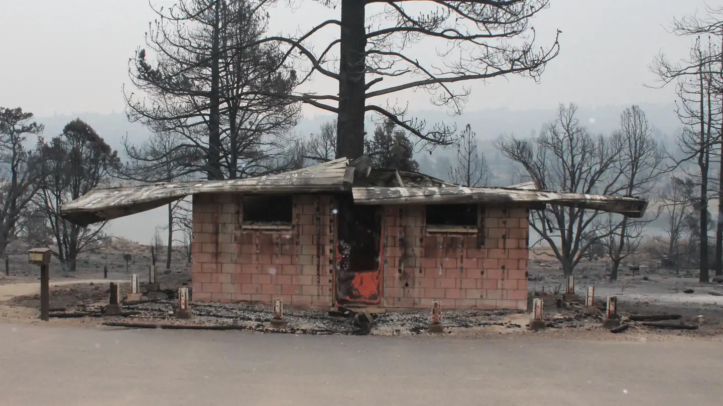
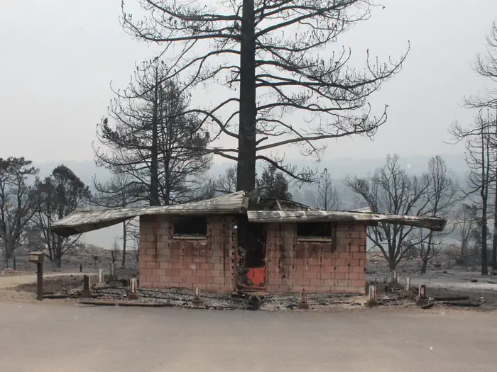
Overview Due to the extensive damage sustained in the 2021 Tamarack Fire, Indian Creek Campground is CLOSED at this time and will remain closed until the area can be made safe for public access and facilities can be rebuilt. Updated Press Release . Indian Creek Campground is nestled in the eastern foothills of the Sierra Nevada between the California towns of Woodfords and Markleeville. Elevation in the area ranges from 5,600 feet at the reservoir to 6,400 feet in the surrounding foothills. Pine trees and sagebrush dot the landscape. Summers are generally warm and dry with daytime temperatures occasionally reaching 90 degrees Fahrenheit, while evenings are cool and comfortable. Sunny and dry days prevail, interspersed with periods of spectacular thunderstorms in the mid-summer months. Recreation Many recreational opportunities are available at Indian Creek Campground and the surrounding area including fishing, camping, picnicking, hiking, sailing, mountain biking, nature study, rock collecting, sightseeing, wildlife viewing, bicycling, white-water rafting and photography. Fishing is by far the most popular activity. Trout are stocked in the reservoir and the river; the nearby East Fork of the Carson River is managed as a trophy fishery. Facilities A campground with 30 sites is situated next to Indian Creek Reservoir. The campground has an RV/tent loop, a tent walk-to loop and group camp area. The RV/tent loop has 19 sites that are suitable for recreational vehicles up to 34 feet in length or tents. The walk-to tent loop has 10 sites with parking nearby. A group campsite (tents only) is available for groups of up to 40 campers. The main restrooms located in the RV/tent loop have flush toilets and hot showers. Drinking water is provided. A day use area has four picnic sites, a boat ramp, large parking lot and restrooms with flush toilets. Natural Features Indian Creek Campground is spread over 160 acres in a forest of burnt ponderosa, Jeffrey and pinyon pines. The campground is located on the west bank of Indian Creek Reservoir. Several campsites have reservoir views through the trees. Nearby Attractions Opportunities to view beautiful waterfalls, snow-capped peaks and rushing mountain streams abound throughout this landscape. Consider the following: whitewater raft or kayak the East Fork of the Carson River; fish the East or West forks of the Carson River; explore South Lake Tahoe; hike along the Tahoe Rim Trail; explore off-highway vehicle routes around Hope Valley; drive out to Blue Lakes for fishing, hiking, and horseback riding; hike into the Mokelumne Wilderness; follow the Emigrant trail up from Hope Valley over Carson Pass; mountain bike along a network of logging roads; fish and boat on Silver Lake and Caples Lake; enjoy a meal at Kit Carson Lodge or Caples Lake Resort; discover the beauty of Hope Valley and visit famous Sorensen's Resort for lodging, meals and activities.
From the managing agency.
Is INDIAN CREEK CAMPGROUND (CA) free?
We do not have a fee on record for INDIAN CREEK CAMPGROUND (CA). Confirm the cost locally before you go.
How do I get to INDIAN CREEK CAMPGROUND (CA)?
INDIAN CREEK CAMPGROUND (CA) is at 38.7479, -119.7849. We do not hold written directions for this one, so navigate to the coordinates.
Nearby
SourceSource data is agency published. Last synced September 19, 2026. Community reports and photos are submitted by travelers and are not verified by the agency.
