
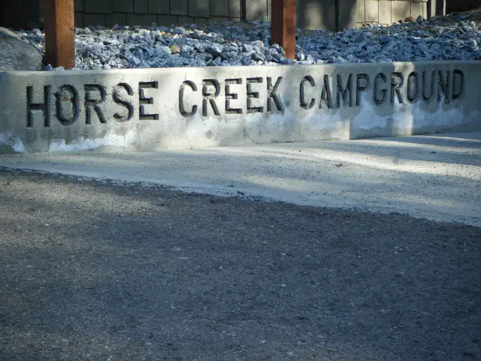
HORSE CREEK
Campground · Fee
Fast facts
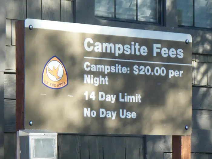
- Cost
- Fee charged
- Type
- Campground
- Phone
- 559-597-2301
- Coordinates
- 36.3906, -118.9547
- Last verified
- September 19, 2026
About this place
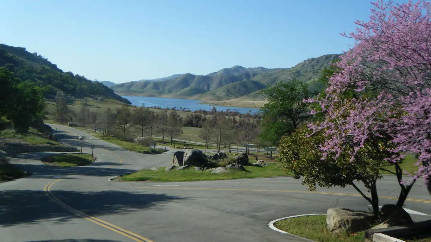
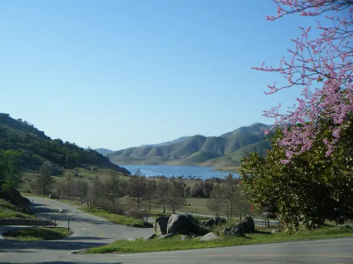
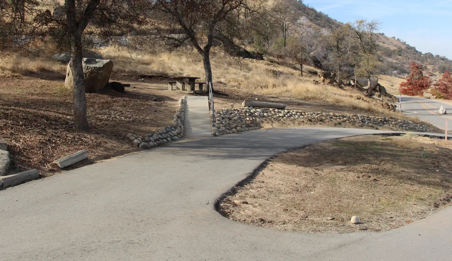
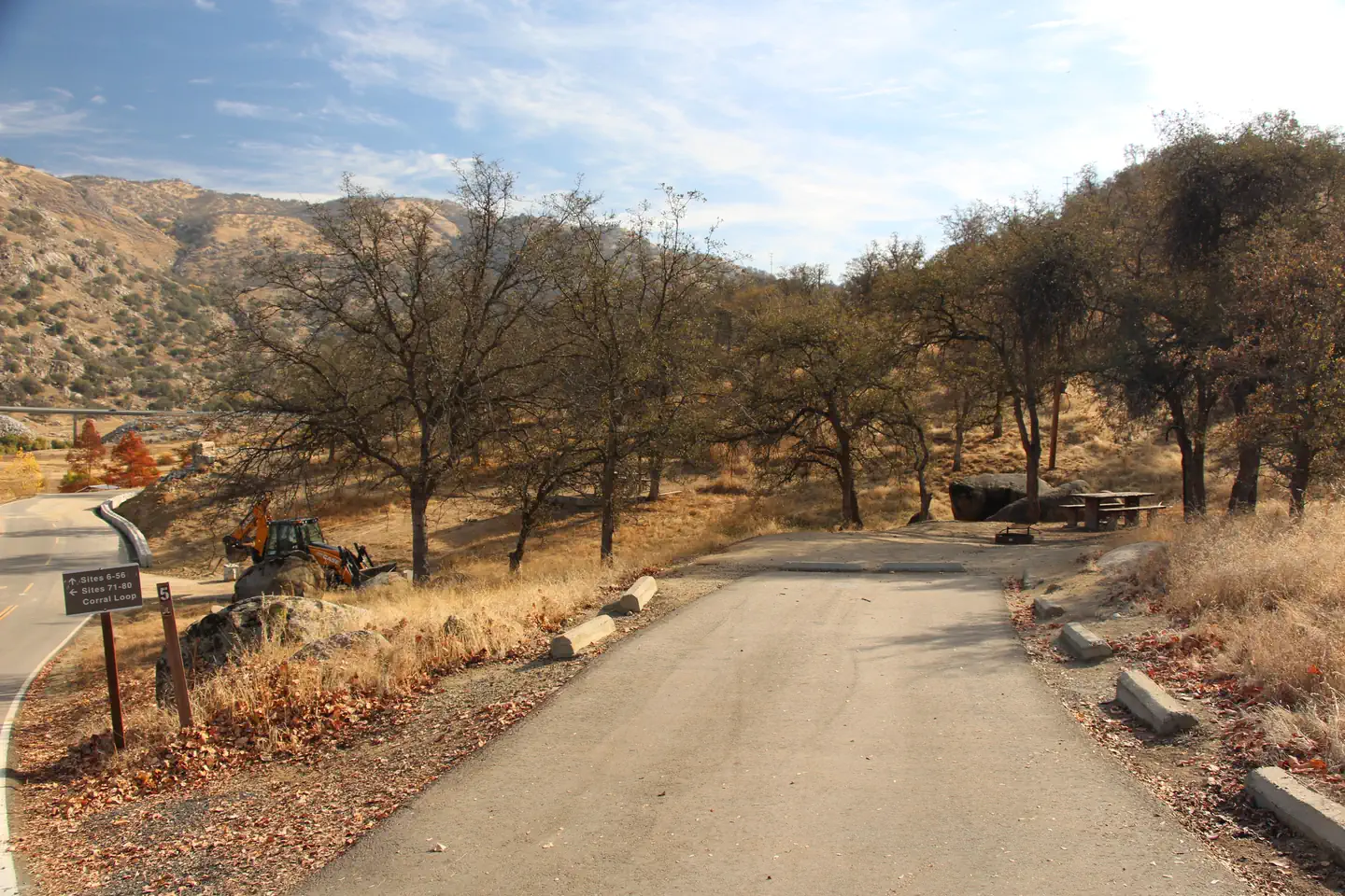
Overview Horse Creek Campground is located on the Kaweah River in the foothills of central California's Sierra Nevada Mountains. The Terminus Dam on Kaweah Lake is three miles east of Lemon Cove, CA. Recreation Kaweah Lake offers boating, water skiing and sailing. Horse and walking trails are available during low water. Anglers can fish for largemouth bass, crappie, bluegill, catfish and rainbow trout. Facilities The campground contains 80 sites without hookups. Amenities include flush toilets, showers and a dump station. Weekend programs are held May through September in the campground's amphitheater. Natural Features The campground is settled on the river in a broad, arid valley with few trees. Shade is limited. Nearby Attractions The Horse Creek campground is 11 miles from Sequoia National Park's southern entrance station. Visitors enjoy viewing the inspiring Giant Forest Grove and mighty General Sherman Tree - the world's largest tree in volume. It is one hour more past the entrance station to reach 5,000' and the mightly Sequoias. Note: Vehicles over 22' will not be allowed up Highway 198 through Sequoia National Park. It is a 1930s, two lane, switch back, road on the side of a mountain. Larger vehicles need to use the northern route on Hwy 180 thorugh Sequoia National Forest to Kings Canyon and Sequoia National Park. In this area you can view America's Christmas Tree, The General Grant Tree and access the other areas. The Visitor Center is shared with the Forest Service and National Park Service.
From the managing agency.
Is HORSE CREEK free?
No. HORSE CREEK charges a fee.
How do I get to HORSE CREEK?
HORSE CREEK is at 36.3906, -118.9547. We do not hold written directions for this one, so navigate to the coordinates.
Nearby
- Grouse Valley Cabins10.2 mi
- POTWISHA CAMPGROUND12.3 mi
- BUCKEYE FLAT CAMPGROUND14.0 mi
- Atwell Mill Campground16.8 mi
- Dorst Creek Campground-Sequoia and Kings Canyon National Park18.8 mi
- Dorst Creek Campground18.8 mi
- Cold Springs Campground19.5 mi
- Cold Springs Campground (CA)19.6 mi
No other services within 50 mi on the record.
SourceSource data is agency published. Last synced September 19, 2026. Community reports and photos are submitted by travelers and are not verified by the agency.
