
HAT CREEK
Campground · Fee not listed
Fast facts
- Cost
- Not listed. Check locally.
- Type
- Campground
- Phone
- 530-336-5521
- Nearest dump station
- Old Station Dump Site · 1.3 mi
- Coordinates
- 40.6678, -121.4456
- Last verified
- September 19, 2026



About this place
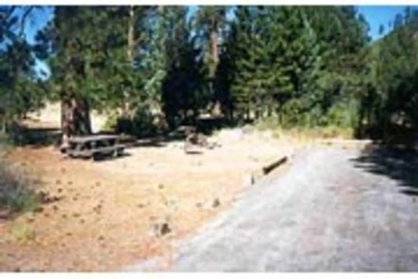
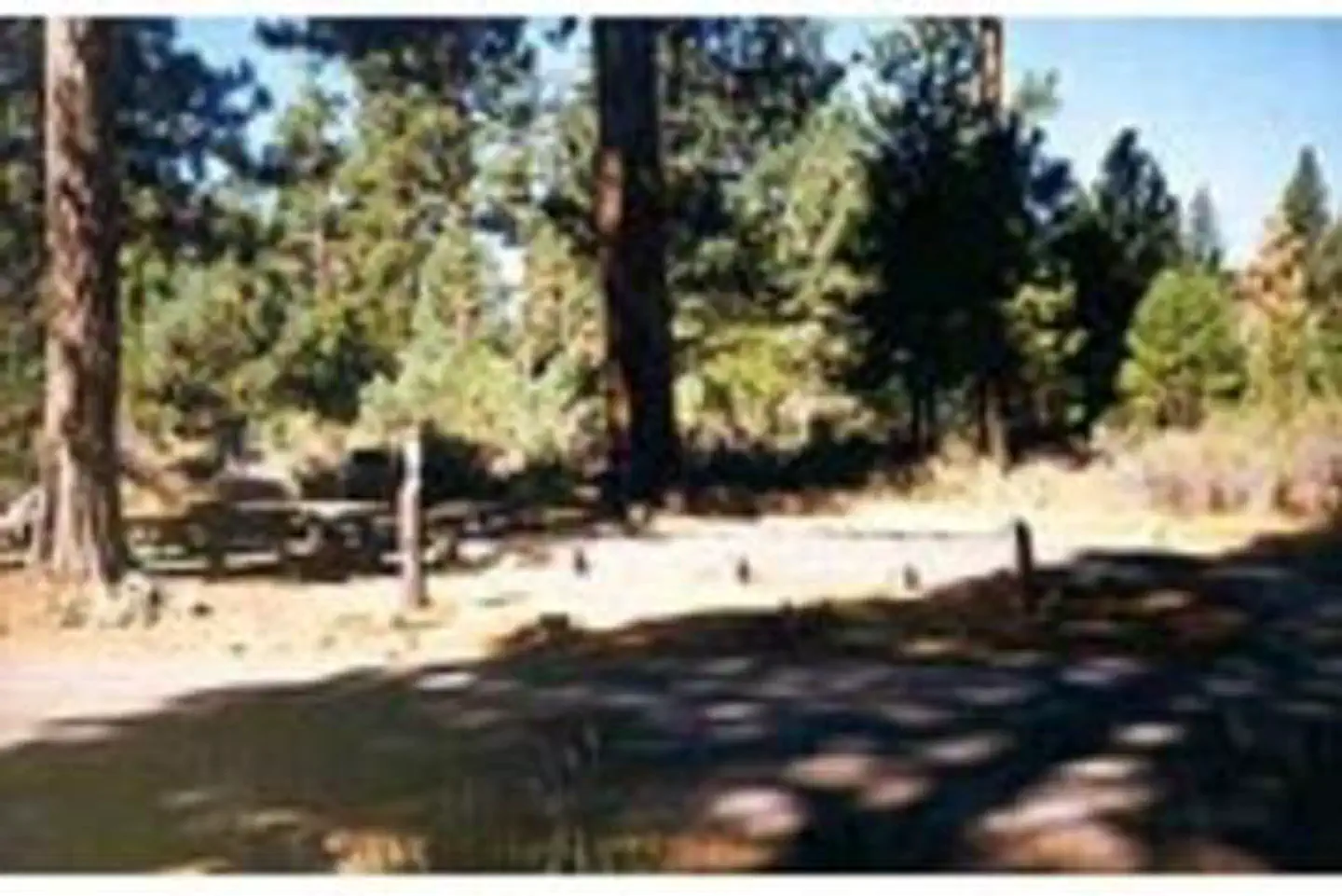
Overview Hat Creek is one of six campgrounds available in the Hat Creek Recreation Area, home to some of the area's best trout fishing. Scenic hiking trails and an active volcanic area can easily be accessed from the facility. Recreation Hat Creek is popular for its trophy trout fishing. The cold waters of the creek allow for a refreshing play on hot summer days. Other popular activities in the area include wildlife viewing, hunting, backpacking, hiking and caving. A variety of day hikes are available in the area, including the Spatter Cones Nature Trail, which is located just across the highway from the campground. The 1.5-mile loop trail provides hikers with a unique opportunity to explore craters, cones and crevices, as well as other geologic features left by the Hat Creek Lava Flow. Nearby, visitors can take a self-guided tour of Subway Cave. The trail is less than a half-mile long and explores the underground world of a lava tube. Visitors are encouraged to bring flashlights for hiking through the cave. Facilities Hat Creek offers three group campsites that can accommodate up to 50 people each. Individual sites are also available on a first-come, first-served basis. Picnic tables and campfire rings with grills are provided, as are accessible flush and vault toilets, utility sinks and drinking water. The RV dump-station is located 1.5 miles north of the campground behind the Old Station Visitors Center. Natural Features The campground is situated next to Hat Creek in a mixed conifer forest at an elevation of about 4,390 feet. Pine needles, grasses and volcanic rocks cover the forest floor. Sites are widely spaced for privacy. Nearby Attractions The campground is located about a mile west of the town of Old Station, and 12 miles east of the northwest entrance to Lassen Volcanic National Park, where active, hissing fumaroles and boiling mud pots are continually shaping the landscape. The Pacific Crest National Scenic Trail can be accessed near the Spatter Cones Nature Trailhead.
From the managing agency.
Is HAT CREEK free?
We do not have a fee on record for HAT CREEK. Confirm the cost locally before you go.
How do I get to HAT CREEK?
HAT CREEK is at 40.6678, -121.4456. We do not hold written directions for this one, so navigate to the coordinates.
Nearby
SourceSource data is agency published. Last synced September 19, 2026. Community reports and photos are submitted by travelers and are not verified by the agency.
