
GURNSEY CREEK
Campground · Fee not listed
Fast facts
- Cost
- Not listed. Check locally.
- Type
- Campground
- Phone
- 530-258-2141
- Nearest dump station
- Almanor RV Dump Station · 14.0 mi
- Coordinates
- 40.3089, -121.4267
- Last verified
- September 19, 2026
About this place
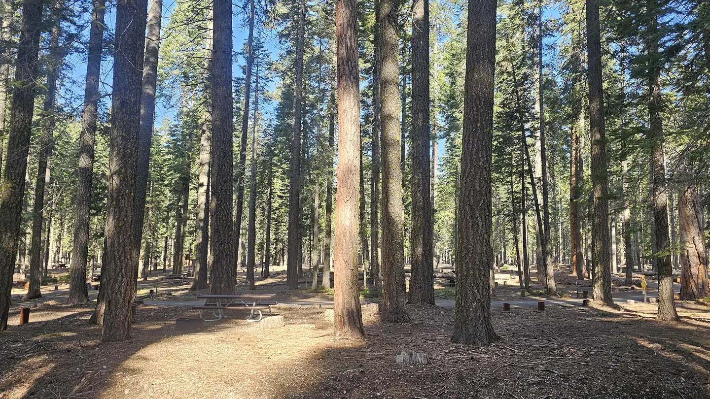
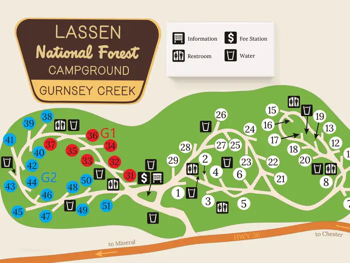
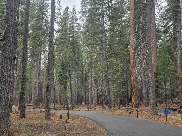
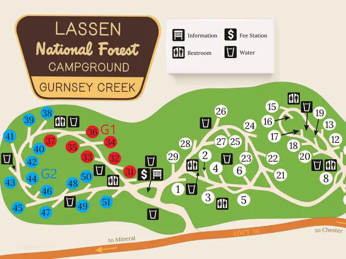
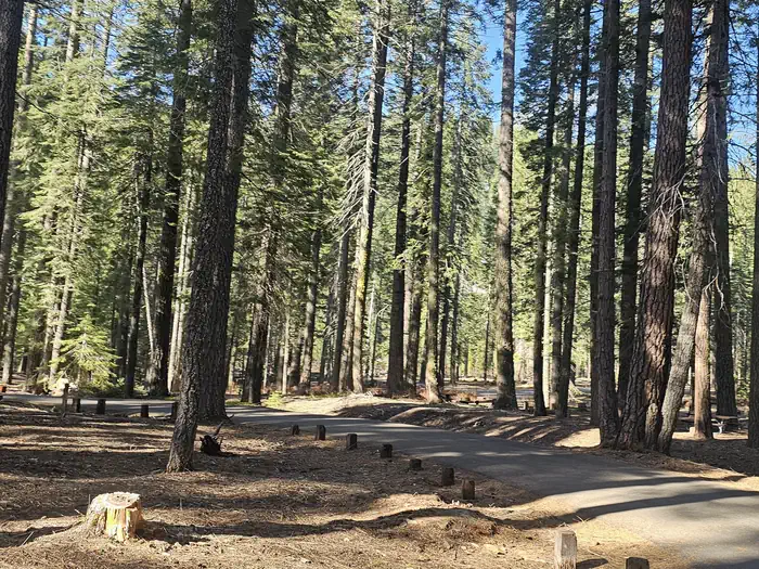
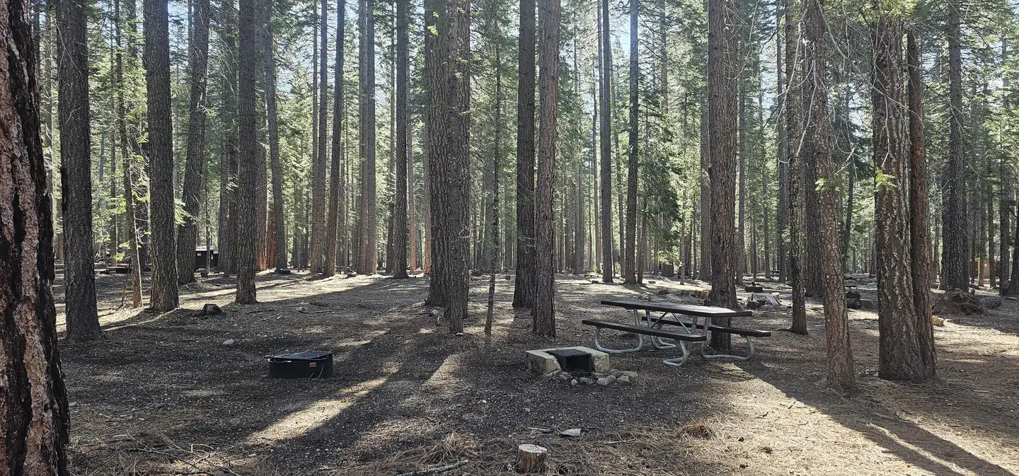
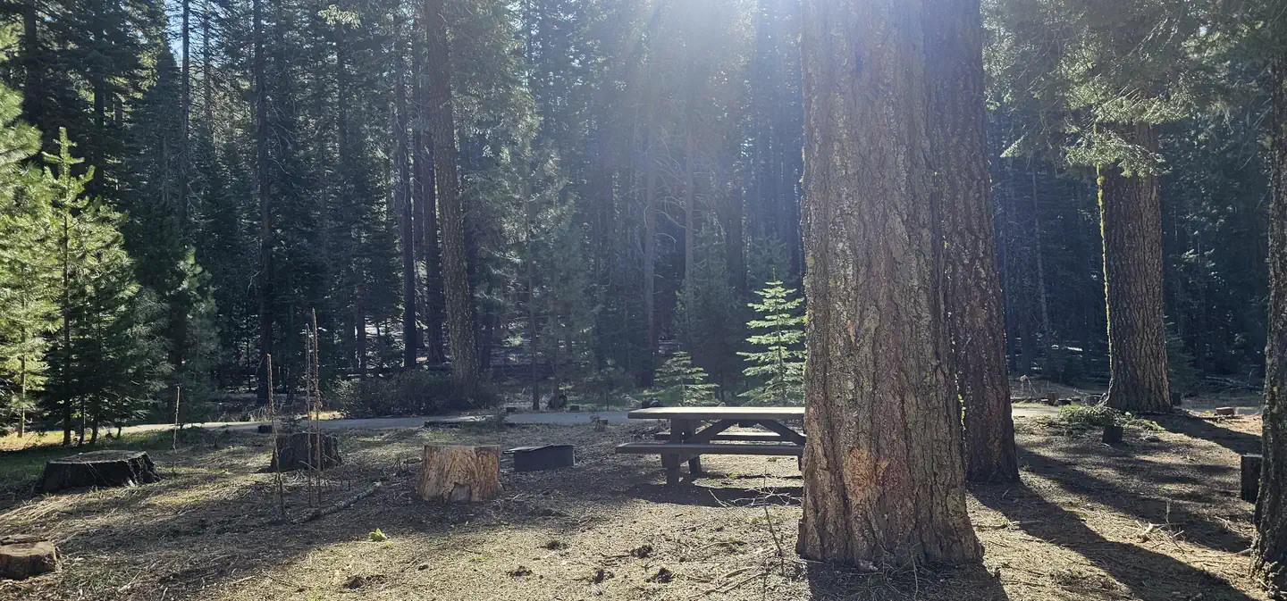
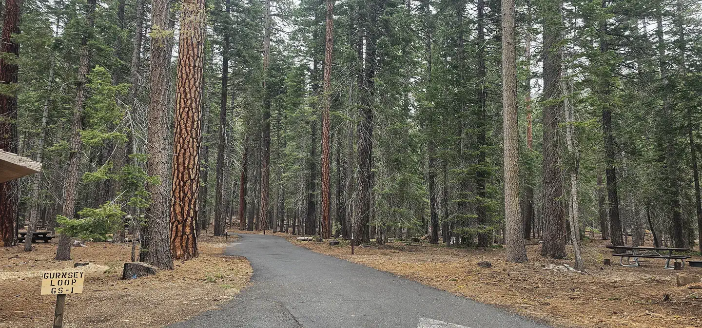
Overview Gurnsey Creek Campground is located in the mountains of northern California. It offers access to a variety of nearby recreational opportunities, including hiking, fishing and picnicking. Recreation The area provides access to plentiful hiking trails, picnic spots and rainbow trout fishing. Facilities Gurnsey Group is located within Gurnsey Creek Campground. This unique site offers 2 reservable "loops". GS Loop # 1 is $56/night, includes 7 individual campsites (Site #s 31-37) and can accommodate 56 people. GS Loop #2 is $112/night, includes 13 sites (Site 38-51) and accommodates up to 112 people. Each site has its own fire ring, picnic table, and parking spur. Gurnsey Creek is a gorgeous campground sitting in a forest of tall evergreens near Highway 36. Drinking water and restrooms are available. No utility hookups are provided. A water-filling station is located at the campground entrance. Parking is limited within the campground. NOTE: THESE GROUP SITES ARE AVAILABLE BY RESERVATION ONLY. Natural Features The campground is nestled in a mixed conifer forest in the Lassen National Forest at an elevation of 4,700 feet. It is located next to Gurnsey Creek. Nearby Attractions The campground is located 14 miles west of the town of Chester and Lake Almanor, where boating, fishing, sailing and water skiing are popular activities. The southwest entrance to Lassen Volcanic National Park is about 14 miles north. The park is known for its active hissing fumaroles and boiling mud pots that continually shape and alter the landscape.
From the managing agency.
Is GURNSEY CREEK free?
We do not have a fee on record for GURNSEY CREEK. Confirm the cost locally before you go.
How do I get to GURNSEY CREEK?
GURNSEY CREEK is at 40.3089, -121.4267. We do not hold written directions for this one, so navigate to the coordinates.
Nearby
SourceSource data is agency published. Last synced September 19, 2026. Community reports and photos are submitted by travelers and are not verified by the agency.
