
GRAYS PEAK GROUP CAMP
Campground · Fee not listed
Fast facts
- Cost
- Not listed. Check locally.
- Type
- Campground
- Phone
- 909-866-8550
- Coordinates
- 34.2735, -116.9707
- Last verified
- September 19, 2026

About this place
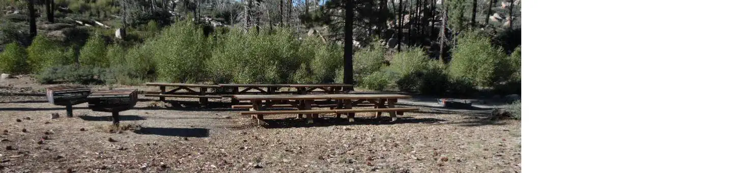
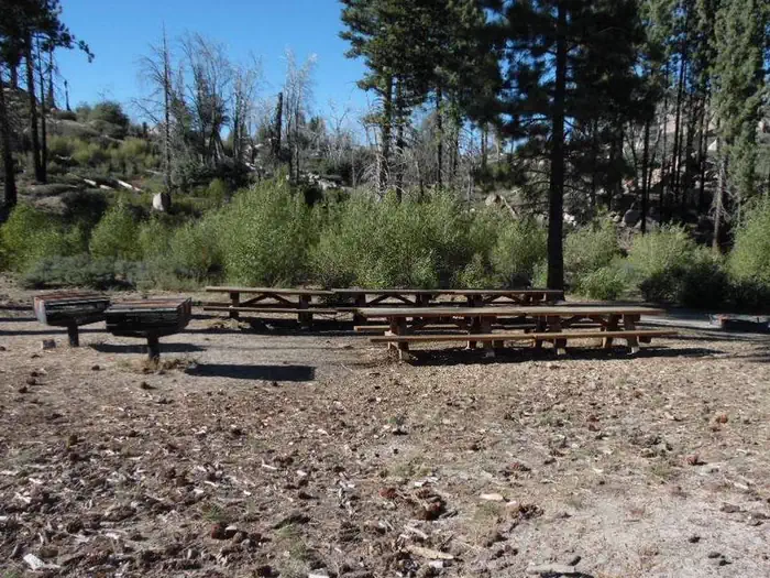
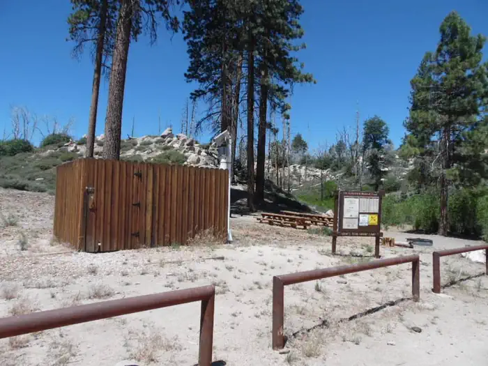
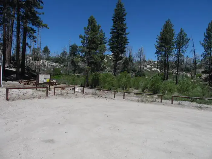
Overview Grays Peak Group Campground is conveniently located for campers to enjoy all that the Big Bear Lake area has to offer. Many trailheads are nearby, leading visitors through the scenic forest that surrounds the campground. Recreation The campground provides access to a variety of hiking and mountain biking trails, including the Grays Peak Trail, which leads to Hanna Flat Campground. The 3.4-mile trail starts with some steep climbing before easing into a gradual incline after a mile. The Butler Park Fire Lookout is a short, 1-mile hike or bike from the campground. Fishing and boating in nearby Big Bear Lake are popular activities. Anglers can look forward to a catch of trout, bluegill, crappie, catfish and largemouth bass. Because of cold water temperatures and the presence of underwater obstacles near the shorelines, swimming at the lake is somewhat discouraged, unless done in designated areas. Facilities The campground offers one large group site for tent and RV camping. It can accommodate up to 40 people and eight vehicles. Parking spurs are gravel and utility hookups are not provided. The campsite is equipped with several tables, a campfire circle and grills. Vault toilets are provided. Drinking water and trash collection are not available. Natural Features The campground is located 45 miles outside San Bernardino at an elevation of 7,132 feet. It is nestled in a mixed conifer forest with a grassy understory. Mature trees provide much shade throughout the area, but open meadows are also available. Nearby Attractions The Big Bear Discovery Center is located about 5 miles from the campground. A variety of information regarding the area, a gift shop, educational programs, an interpretive trail and restroom facilities are available.
From the managing agency.
Is GRAYS PEAK GROUP CAMP free?
We do not have a fee on record for GRAYS PEAK GROUP CAMP. Confirm the cost locally before you go.
How do I get to GRAYS PEAK GROUP CAMP?
GRAYS PEAK GROUP CAMP is at 34.2735, -116.9707. We do not hold written directions for this one, so navigate to the coordinates.
Nearby
- HANNA FLAT1.0 mi
- IRONWOOD GROUP CAMP3.2 mi
- Serrano Cg3.2 mi
- SERRANO3.5 mi
- BLUFF MESA GROUP CAMP3.5 mi
- BOULDER GROUP CAMP3.7 mi
- Big Pine Equestrian Group Campground4.0 mi
- Holcomb Valley Campground4.7 mi
No other services within 50 mi on the record.
SourceSource data is agency published. Last synced September 19, 2026. Community reports and photos are submitted by travelers and are not verified by the agency.
