
GRAY PINE GROUP CAMPGROUND
USFS · Campground · Fee
Fast facts
- Cost
- Fee charged
- Managed by
- USFS
- Type
- Campground
- Hours
- Check in: 2:00 p.m.; Check-out: 11:00 a.m.; Quiet hours are 10:00 p.m. until 6:00 a.m.
- Reservations
- recreation.gov
- Phone
- 530-963-3128
- Nearest dump station
- Almanor RV Dump Station · 97.9 mi
- Coordinates
- 39.3572, -122.6533
- Last verified
- September 19, 2026
About this place
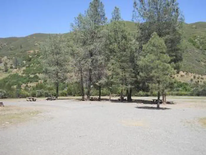
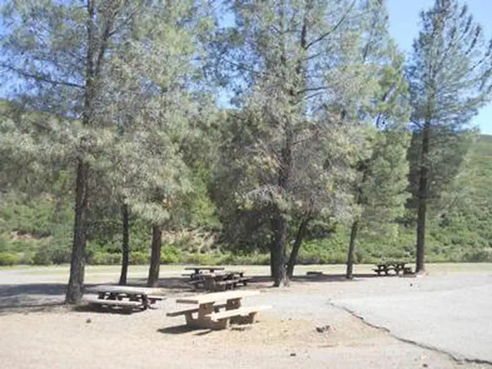
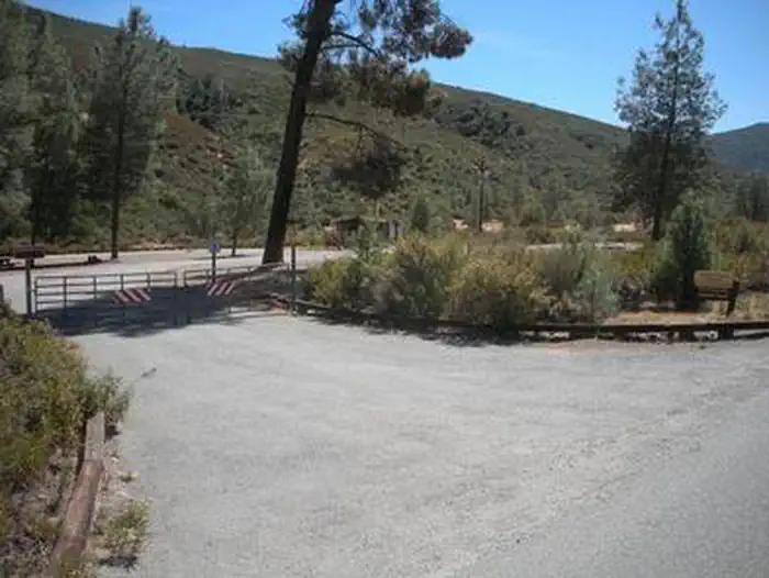
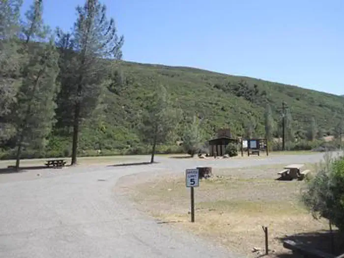
Overview Perched 1,700 feet above sea level in the expanse of the Mendocino National Forest, the Gray Pine Group Camp is a beautiful recreation oasis for large groups and parties. Recreation Mendocino National Forest's 913,306 acres of mountains and canyons offer a variety of recreational opportunities, including horseback riding, hiking, backpacking, boating, fishing and hunting, nature study and off-highway vehicle riding. Whether it's deer, birds, rabbits, chipmunks or perhaps the occasional bear, wildlife viewing is always a popular activity for visitors. The area is also an extremely popular destination during hunting season. Facilities Gray Pine Group Camp offers traditional camping and can hold up to 75 guests. Natural Features The Mendocino National Forest, California's only national forest that is not crossed by a paved road, straddles the eastern spur of the Coastal Mountain Range in northwestern California, just a three-hour drive north of San Francisco and Sacramento. Sprinkled throughout the dense green forest are several lakes, offering visitors additional recreational opportunities against a stunning backdrop. Nearby Attractions Popular OHV riding trails are easily accessible from the campground. Visit www.fs.usda.gov/mendocino for more information.
From the USFS.Official page
Is GRAY PINE GROUP CAMPGROUND free?
No. GRAY PINE GROUP CAMPGROUND charges a fee. It is managed by the USFS. Sites are reservable through recreation.gov.
How do I get to GRAY PINE GROUP CAMPGROUND?
Located 9.5 miles west of Stonyford on road 18N03. Lat - 39¿¿ 21 ' 25.77599", Long - 122¿¿ 39 ' 12.12479
Nearby
SourceData from the USFS. Last synced September 19, 2026. Community reports and photos are submitted by travelers and are not verified by the agency.
