
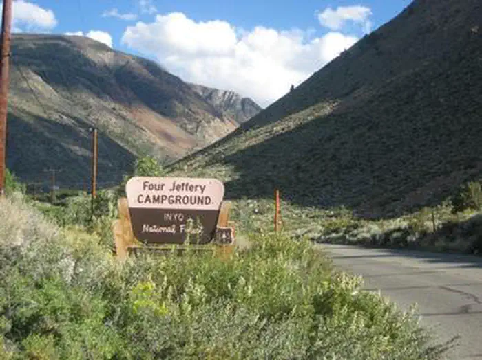
FOUR JEFFREY
Campground · Fee not listed
Fast facts
- Cost
- Not listed. Check locally.
- Type
- Campground
- Phone
- 760-873-3077
- Coordinates
- 37.2500, -118.5500
- Last verified
- September 19, 2026
About this place
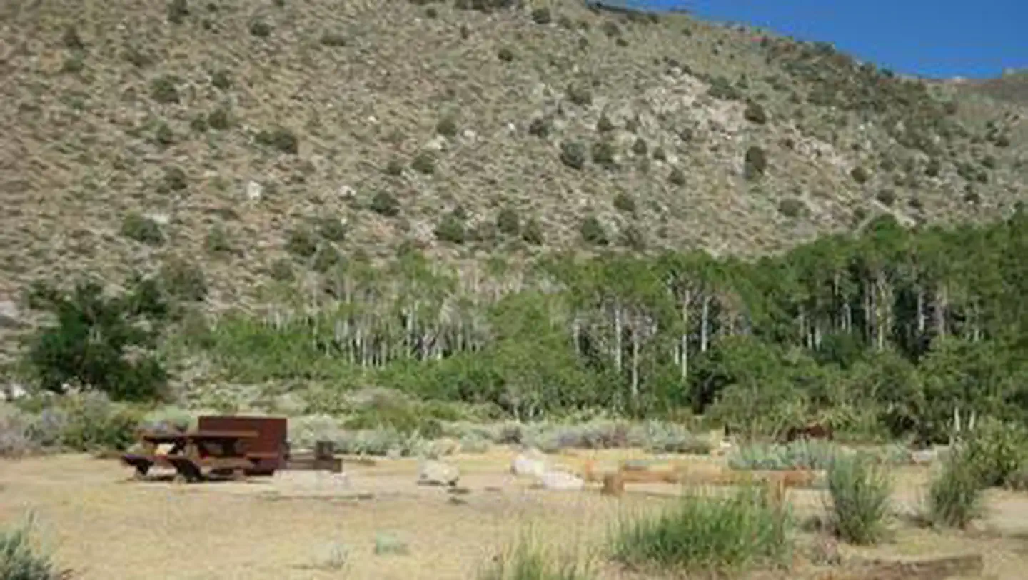
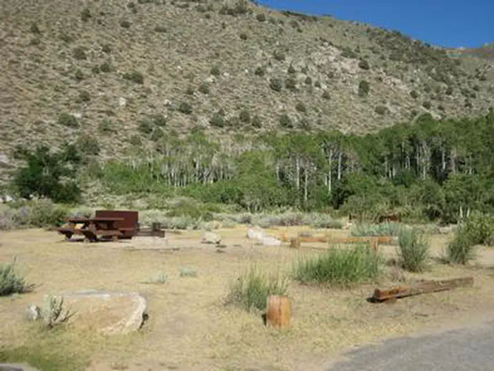
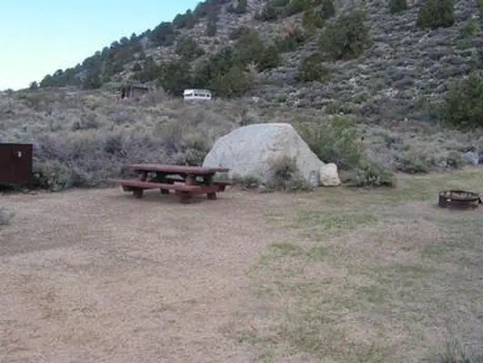
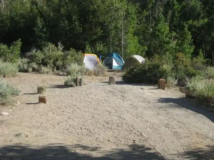
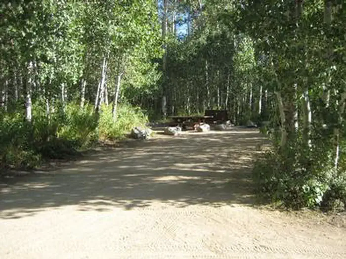
Overview Four Jeffrey is a mostly shaded campground with gorgeous views of Table Mountain along the South Fork of Bishop Creek. Campers enjoy fishing and swimming in the trout-stocked creek. The nearby John Muir Wilderness provides plenty of hiking opportunities to view impressive lakes and glaciers. Recreation The South Fork Bishop Creek beckons anglers with rainbow, brown, brook and Alpers trout. A fish cleaning station is available on-site The area offers access to several trailheads for hiking and horseback riding into the John Muir Wilderness. The Tyee Lakes Trailhead is less than a mile up the road. The trail highlights epic views of the Inconsolable Range and the peaks surrounding South Lake. Facilities The campground offers several single-family sites, all with picnic tables, food storage lockers and campfire rings with grills. Amenities include accessible flush toilets and drinking water. Natural Features Four Jeffrey sits in a valley between Grouse Mountain and Table Mountain in Inyo National Park at an elevation of 8,100 feet. With over 2 million acres, the forest is home to many natural wonders, including Mt. Whitney, Mono Lake, Mammoth Lakes Basin and the Ancient Bristlecone Pine Forest. Nearby Attractions Take the John Muir Trail into the John Muir Wilderness and for breathtaking views of Devils Postpile.
From the managing agency.
Is FOUR JEFFREY free?
We do not have a fee on record for FOUR JEFFREY. Confirm the cost locally before you go.
How do I get to FOUR JEFFREY?
FOUR JEFFREY is at 37.2500, -118.5500. We do not hold written directions for this one, so navigate to the coordinates.
Nearby
- Four Jeffrey Campground1.1 mi
- Forks Campground1.6 mi
- Forks Campground (Inyo)1.6 mi
- Big Trees Campground1.9 mi
- Mountain Glen Campground2.0 mi
- Intake 2 Walk-in Campground2.0 mi
- Intake 2 Campground2.2 mi
- BISHOP PARK GROUP2.4 mi
No other services within 50 mi on the record.
SourceSource data is agency published. Last synced September 19, 2026. Community reports and photos are submitted by travelers and are not verified by the agency.
