
FIDDLE CREEK
Campground · Fee not listed
Fast facts
- Cost
- Not listed. Check locally.
- Type
- Campground
- Phone
- (530)478-6253
- Nearest dump station
- Jackson Meadows Rv Dump Station · 24.5 mi
- Nearest water fill
- Indian Creek Camp Ground-Potable Water · 83.8 mi
- Coordinates
- 39.5183, -120.9925
- Last verified
- September 19, 2026


About this place
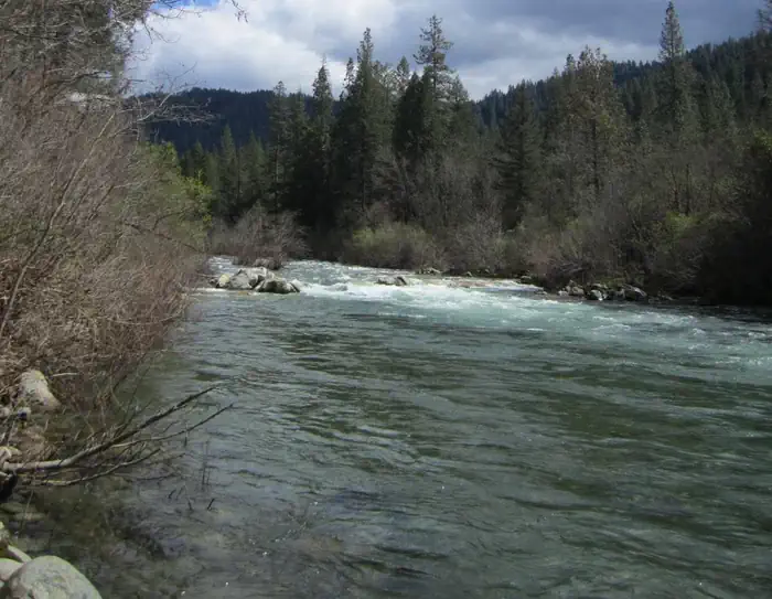
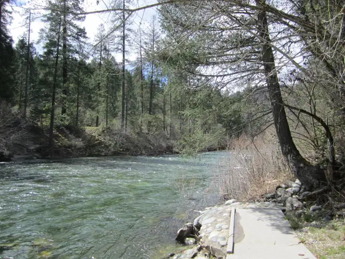
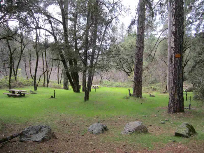
Overview Fiddle Creek Campground is located alongside the North Yuba River, just off Highway 49, about 12 miles from Downieville. Visitors enjoy a wide variety of recreational activities in the area, including hiking, hunting, fishing and mountain biking. This facility is operated and maintained by the Tahoe National Forest. Recreation The North Yuba River offers swimming, wading and rainbow trout fishing. Seasonal rafting, kayaking and tubing are popular water activities. Hiking and hunting are available in the surrounding area. A network of trails crisscrosses the surrounding area. A footbridge accessing the North Yuba Trail is located at nearby Rocky Rest Campground. Facilities The campground offers several single-family sites, all of which are designated for tent camping only. Each site is equipped with a picnic table, campfire ring and bearproof food locker. Vault toilets and drinking water are provided. While located close to the parking areas, campsites cannot be directly accessed by motor vehicles. Natural Features The campground stretches along the north bank of the North Yuba River. Stands of oak, maple, locust and pine trees covers the area providing ample shade at this location. Contact Info This location is unstaffed. To speak with our main office for general information, please call: (530) 265-4531.
From the managing agency.
Is FIDDLE CREEK free?
We do not have a fee on record for FIDDLE CREEK. Confirm the cost locally before you go.
How do I get to FIDDLE CREEK?
FIDDLE CREEK is at 39.5183, -120.9925. We do not hold written directions for this one, so navigate to the coordinates.
Nearby
SourceSource data is agency published. Last synced September 19, 2026. Community reports and photos are submitted by travelers and are not verified by the agency.
