
FERN BASIN
Campground · Fee not listed
Fast facts
- Cost
- Not listed. Check locally.
- Type
- Campground
- Phone
- 909-382-2922
- Coordinates
- 33.7886, -116.7378
- Last verified
- September 19, 2026
About this place
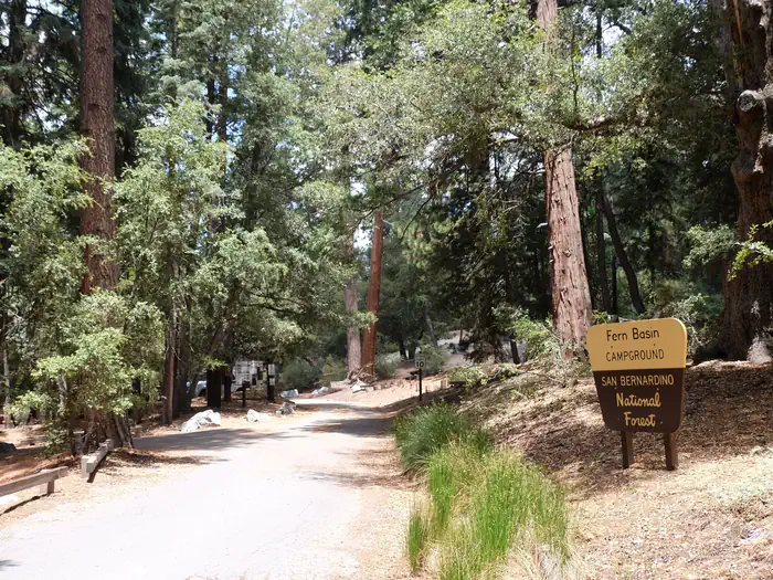
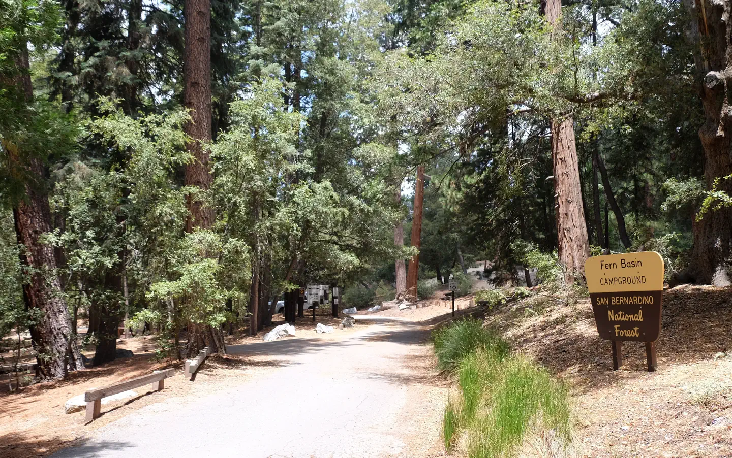
Overview The picturesque Fern Basin Campground is a perfect escape from a busy lifestyle. It provides peace and quiet in the mountains of southern California as well as access to countless recreational opportunities. The San Bernardino National Forest is submitting a proposal to increase fees at various sites across the Forest and is seeking public input. Please visit the https://www.fs.usda.gov/sbnf for more information and to submit comments regarding this proposal. Recreation Visitors to the area enjoy hiking on the Marion Mountain Trail, which leads to San Jacinto Peak. Views from the peak extend to the ocean and across the Palm Desert, as well as the San Bernardino and San Gabriel mountains on a clear day. The 11.8-mile Marion Mountain Trail is the shortest route up the mountain, but is also quite strenuous in areas. Facilities Please be aware that potable (safe for drinking) water may or may not be available at this campground. Please bring ample water for drinking, cooking etc. Fern Basin campground offers about two dozen campsites for both tent and small RV / van camping. All campsites are equipped with tables and campfire rings with grills. Vault toilets are available within the campground. Natural Features The campground is located in a grove of mixed oaks and shrubs. A surrounding mixed conifer forest provides spotty shade for the campground. It is situated at an elevation of about 6,300 feet, in the mountains overlooking California's desert. Nearby Attractions The campground is located approximately 50 miles southeast of San Bernardino, California, and about seven miles north of the small town of Idyllwild, which is known for its shops and restaurants.
From the managing agency.
Is FERN BASIN free?
We do not have a fee on record for FERN BASIN. Confirm the cost locally before you go.
How do I get to FERN BASIN?
FERN BASIN is at 33.7886, -116.7378. We do not hold written directions for this one, so navigate to the coordinates.
Nearby
- MARION MOUNTAIN0.4 mi
- BOULDER BASIN2.8 mi
- BLACK MOUNTAIN (SAN BERNARDINO)3.1 mi
- Pinyon Flat Campground21.4 mi
- RIBBONWOOD EQUESTRIAN CG21.9 mi
- COON CREEK GROUP CAMPGROUND25.0 mi
- SKYLINE25.3 mi
- WILD HORSE EQUESTRIAN FAMILY25.4 mi
No other services within 50 mi on the record.
SourceSource data is agency published. Last synced September 19, 2026. Community reports and photos are submitted by travelers and are not verified by the agency.
