
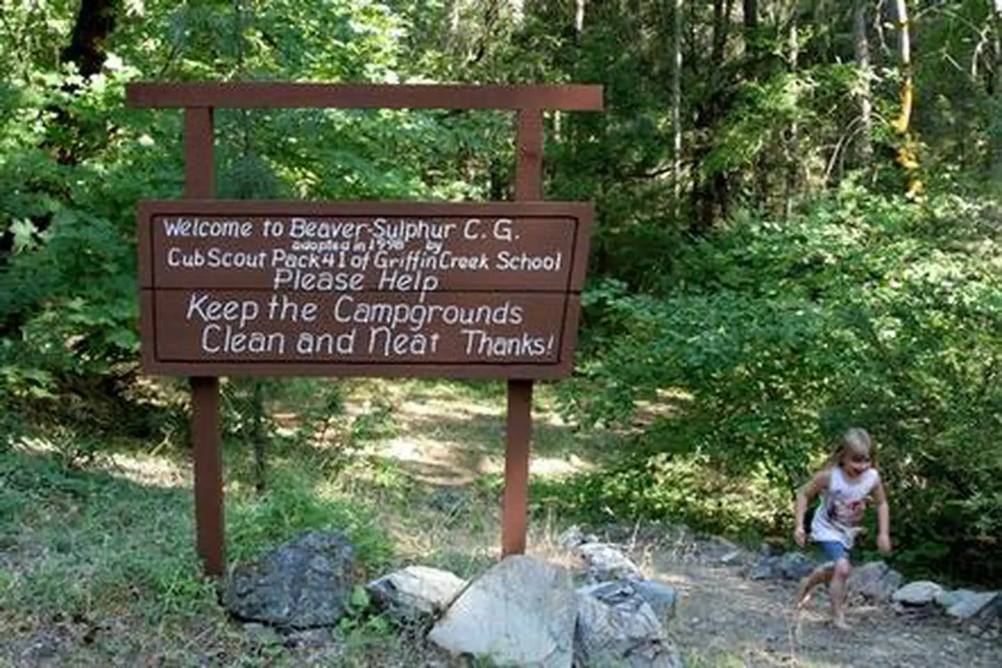
Beaver Sulphur Group Campground
Campground · Fee not listed
Fast facts
- Cost
- Not listed. Check locally.
- Type
- Campground
- Phone
- 541-899-3800
- Nearest dump station
- Aspen Point Dump Station · 46.1 mi
- Coordinates
- 42.1127, -123.0334
- Last verified
- September 19, 2026
About this place
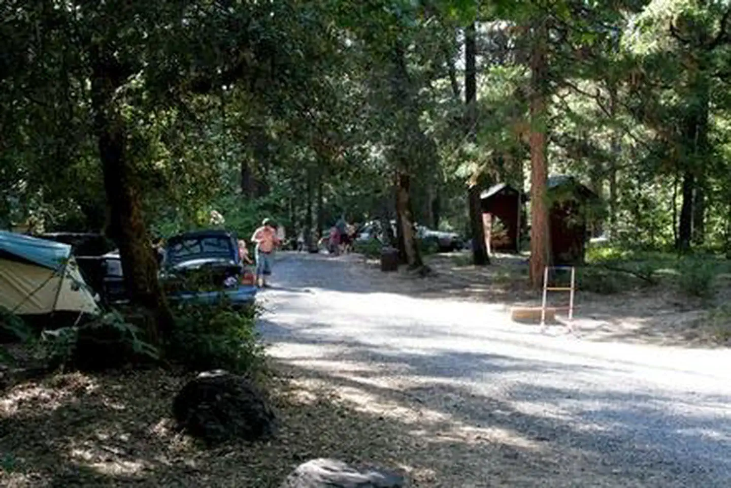
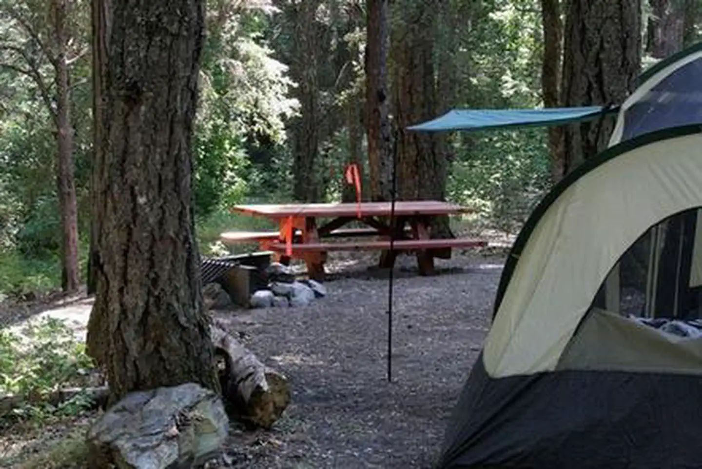
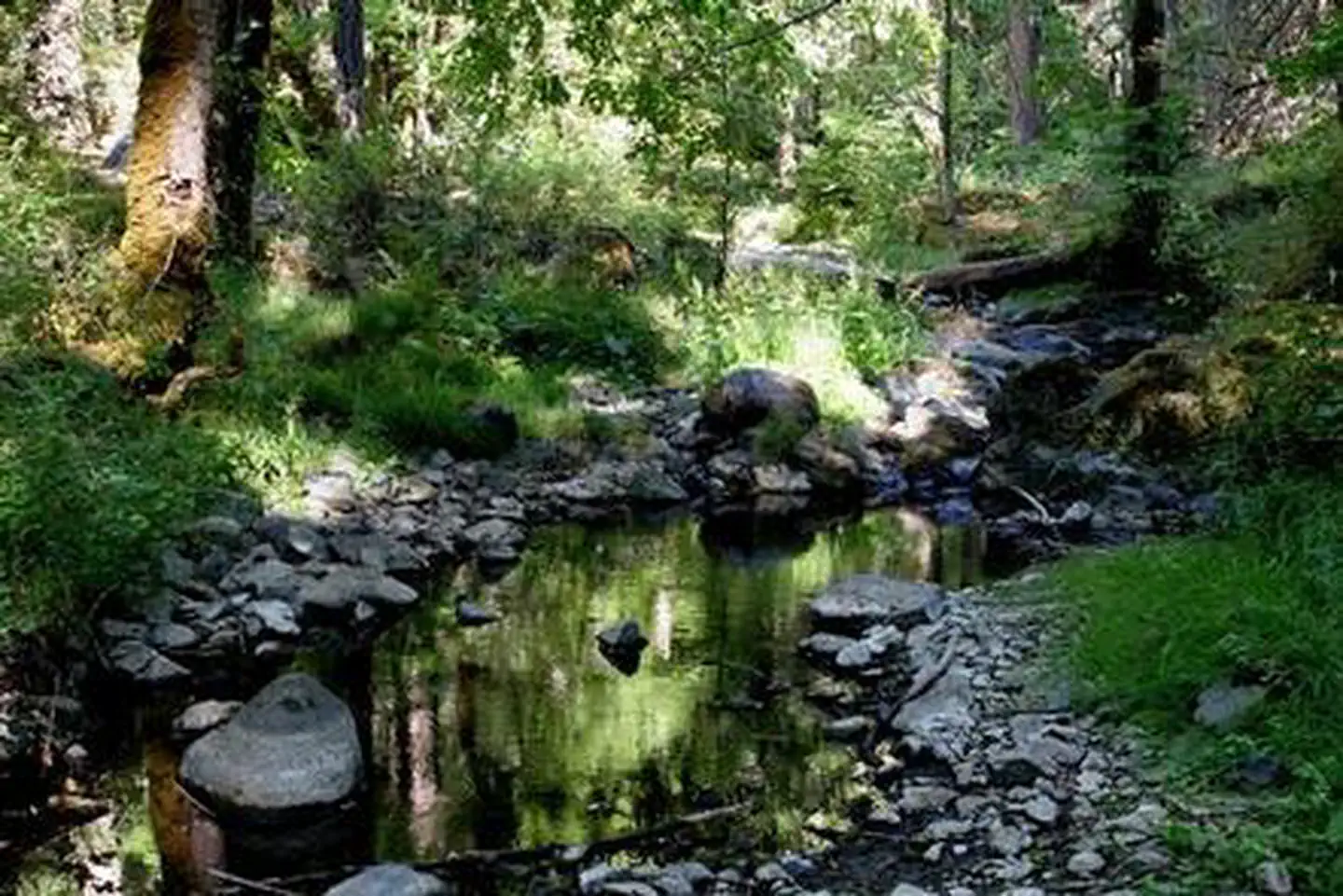
Overview Nestled in the deep shade of a mixed-conifer forest on the banks of bubbling Beaver Creek, Beaver Sulphur Group Campground offers an ideal setting for groups and large family gatherings. Located in southwest Oregon in the Rogue River-Siskiyou National Forest, the campground's proximity to a hiking trails and scenic waterways provides visitors with access to a multitude of recreational activities. Recreation Beaver Sulphur Group Campground offers outdoor enthusiasts the opportunity to hike, fish, hunt and enjoy a multitude of outdoor activities throughout the year. A handful of hiking trails are accessible from the campground and in the surrounding areas. The nearby Mule Mountain Trail offers a special opportunity to access the hillsides above Applegate Valley and witness the seasonal changes in wildlife activity. It is a long-distance hike, winding up and around the arid ridges of the Oregon Siskiyous. In the spring, dwarf star tulips, lilies, shooting stars, larkspurs and buttercups puncture the needle and leaf mat and adorn the grass floor. Nearby Applegate Lake is a popular recreation lake, located north of the spectacular Red Buttes Wilderness Area. The lake is popular for swimming, cycling, boating, canoeing, fishing and hiking the various trails near the lake. Facilities Beaver Sulphur Group Campground offers a large, reservable group site that has individual spurs for tents and trailers. The site is equipped with picnic tables, campfire rings and vault toilets. Natural Features The unique character of the landscapes comprising the Rogue River-Siskiyou National Forest has led to the designation of over 340,000 acres of the forest as Wilderness, and over 200 miles of streams as National Wild and Scenic Rivers. The forest itself is composed of two distinct geological provinces, the Cascade Range and the Siskiyou Mountains. The Cascade Range is dominated by snow-capped volcanic peaks, such as 9,495 foot Mt. McLoughlin, located within the Sky Lakes Wilderness. The Siskiyou area embodies the most complex and treasured plant communities in the Pacific Northwest. World-class wild rivers, biological diversity, remarkable fisheries resources and complex watersheds define the Siskiyou. Diverse landscapes provide habitat for a wide-range of wildlife, from spotted owls and bull elk to salamanders and sandhill cranes. Nearby Attractions The United States Congress designated the Red Buttes Wilderness in 1984 and it now includes a total of 19,940 acres. Management of the Red Buttes Wilderness, located on the California/Oregon border, is shared by the Klamath National Forest and the Rogue River - Siskiyou National Forest. The majority of the Wilderness lies within the boundaries of the Rogue River-Siskiyou National Forest. Several lakes are accessible in the forest. Squaw Peak looks south to Squaw Lakes, a semi-primitive developed recreation area that accepts camping reservations from May through September. Applegate lake is a large reservoir with boat ramps, campgrounds, viewpoints and a developed recreation area named Hart tish. Both Squaw Lakes and Applegate lake are open for fishing year-round.
From the managing agency.
Is Beaver Sulphur Group Campground free?
We do not have a fee on record for Beaver Sulphur Group Campground. Confirm the cost locally before you go.
How do I get to Beaver Sulphur Group Campground?
Beaver Sulphur Group Campground is at 42.1127, -123.0334. We do not hold written directions for this one, so navigate to the coordinates.
Nearby
SourceSource data is agency published. Last synced September 19, 2026. Community reports and photos are submitted by travelers and are not verified by the agency.
