
Ahart Campground
USFS · Campground · Fee
Fast facts
- Cost
- Fee charged
- Managed by
- USFS
- Type
- Campground
- Hours
- Check in: 2:00 p.m.; Check-out: 12:00 p.m.; Quiet hours are 10:00 p.m. until 6:00 a.m.
- Reservations
- fs.usda.gov
- Phone
- (530) 367-2224
- Nearest dump station
- French Meadows Rv Dump Station · 1.3 mi
- Nearest water fill
- Indian Creek Camp Ground-Potable Water · 43.3 mi
- Coordinates
- 39.1460, -120.4082
- Last verified
- September 19, 2026
About this place
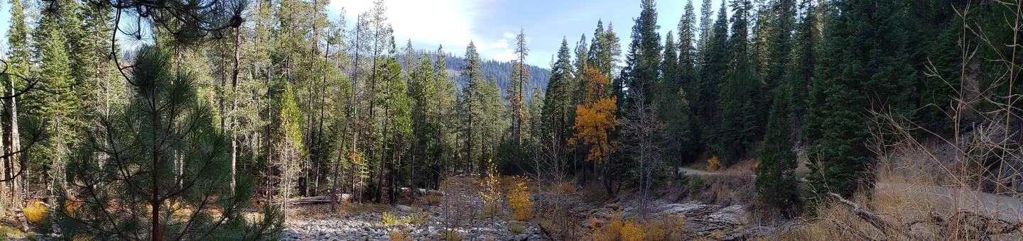
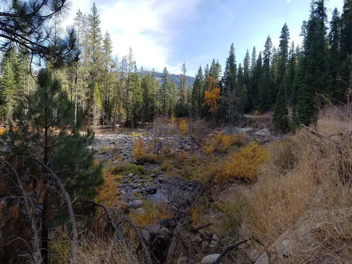
Overview Ahart Campground is located on the tree covered banks of the North Fork of the American River near French Meadows Reservoir, about 40 miles from the town of Foresthill, high in the Sierra mountains. Visitors enjoy the area for the rugged mountain beauty, fishing, boating and trail opportunities. This facility is operated and maintained by the Tahoe National Forest. Natural Features The campground is near the north shore of French Meadows Reservoir along the banks of the Middle Fork of the American River while nestled in a Coniferous Forest. Summer days can be warm and pleasant with cool evenings.
From the USFS.
Is Ahart Campground free?
No. Ahart Campground charges a fee. It is managed by the USFS. Sites are reservable through fs.usda.gov.
How do I get to Ahart Campground?
From Foresthill: Drive 36 miles east on Mosquito Ridge Road (Forest Road 96). Campground is on Middle American River, 1 mile north of French Meadows Reservoir.
What are the rules at Ahart Campground?
Firearms or any other implements of destruction(including but not limited to bow and arrow and slingshots) are prohibited in this area; camping outside designated campground is prohibited in this area
Nearby
SourceData from the USFS. Last synced September 19, 2026. Community reports and photos are submitted by travelers and are not verified by the agency.
