
SHOWERS POINT GROUP SITE
Campground · Fee not listed
Fast facts
- Cost
- Not listed. Check locally.
- Type
- Campground
- Coordinates
- 32.4083, -110.7206
- Last verified
- September 19, 2026
About this place
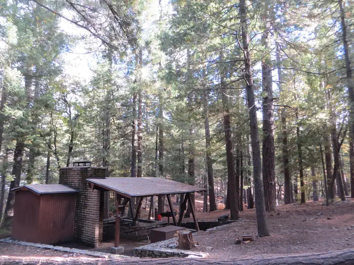
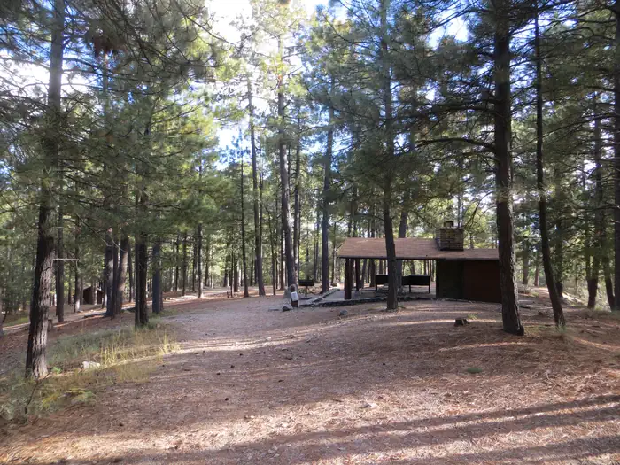
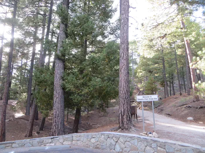
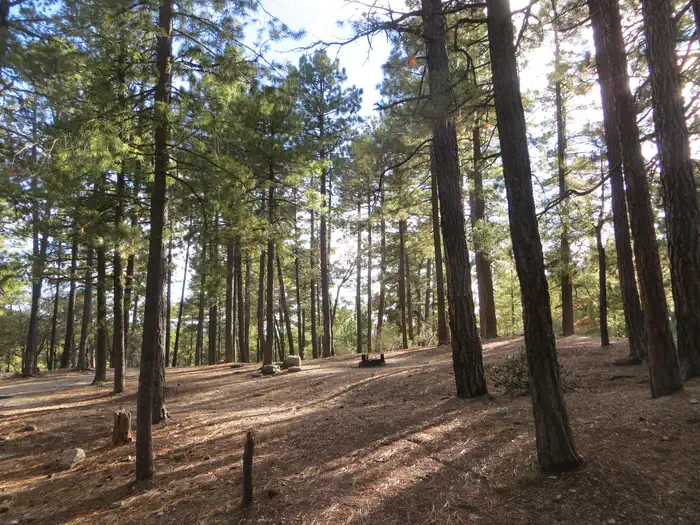
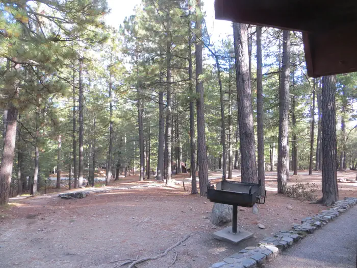
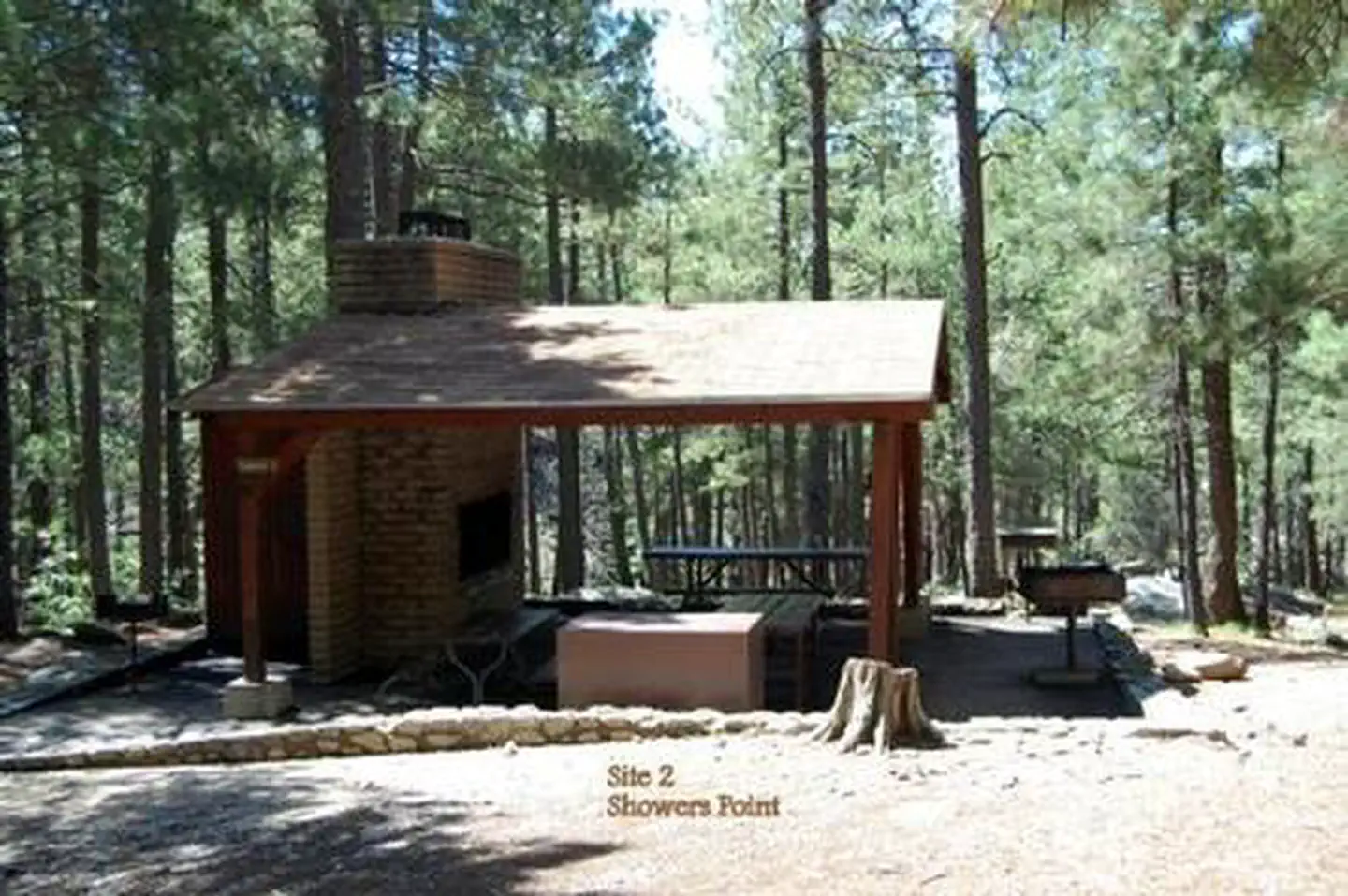
Overview The cool shade of tall ponderosa pines and an overlook of Palisade Canyon from the campgrounds edge make Showers Point Group Site a popular place for groups to spend a weekend or an afternoon. Visitors can relax in shaded campsites, picnic at nearby Rose Canyon, hike and mountain bike on nearby trails or take a scenic drive on Catalina Highway. Recreation Within easy walking distance from Showers Point is one of the most scenic overlooks in the Santa Catalinas. From this towering bluff visitors can see the lower slopes of the Santa Catalina Range and the Santa Cruz Valley stretching toward Mexico. Tall, pyramid-shaped Mt. Wrightson of the Santa Rita Mountains stands prominent on the horizon. Visitors enjoy hiking through the Santa Catalina backcountry, via the Palisade Trail that departs near the campground. The trail drops down the southwestern slopes of the mountain range to the popular Sabino Canyon Recreation Area. Fishing is also available at the nearby six-acre Rose Canyon Lake. A day-use fee is applicable at Rose Canyon Facilities The three group campsites at Showers Point are well spread out over this spacious location and include large, leveled tent pads and picnic shelters. Each site is tent-only for up to 25 guests. The facility is equipped with water faucets and toilets. Natural Features Showers Point Group Campground sits high on the slopes of the Santa Catalina Mountains at 7,700 feet. Because of its elevation, it can be much cooler than the lower-elevation campgrounds in the area. The campsites are spacious and spread out among stands of big ponderosa pines and clusters of Gambel oak. The Coronado National Forest covers 1.78 million acres of southeastern Arizona and southwestern New Mexico. Elevations range from 3,000 to 10,720 feet in 12 widely scattered mountain ranges, or "sky islands," that rise dramatically from the desert floor, supporting biologically diverse plant communities. Nearby Attractions Catalina Highway, also known as General Hitchcock Highway and Sky Island Scenic Byway, is the only paved road that leads to the upper reaches of Mt. Lemmon and the Santa Catalina Range. It is one of the most scenic highways in the southwest and provides a popular day trip. Other notable attractions include Saguaro National Park, Sabino Canyon and Colossal Cave. Contact Info For facility specific information, please call (520) 314-0069.
From the managing agency.
Is SHOWERS POINT GROUP SITE free?
We do not have a fee on record for SHOWERS POINT GROUP SITE. Confirm the cost locally before you go.
How do I get to SHOWERS POINT GROUP SITE?
SHOWERS POINT GROUP SITE is at 32.4083, -110.7206. We do not hold written directions for this one, so navigate to the coordinates.
Nearby
- Showers Point Group Campground0.0 mi
- PALISADES RANGER RESIDENCE CABIN0.3 mi
- Whitetail Group Campground0.7 mi
- WHITETAIL CAMPGROUND0.7 mi
- Sollers Cabin (AZ)0.8 mi
- Spencer Canyon Campground1.3 mi
- Rose Canyon Campground1.4 mi
- ROSE CANYON2.0 mi
No other services within 50 mi on the record.
SourceSource data is agency published. Last synced September 19, 2026. Community reports and photos are submitted by travelers and are not verified by the agency.
