
Ponderosa Grove Campground
BLM · Campground · Fee
Fast facts
- Cost
- Fee charged
- Managed by
- BLM
- Type
- Campground
- Phone
- 435-644-1200
- Coordinates
- 37.0891, -112.6722
- Last verified
- September 19, 2026


About this place
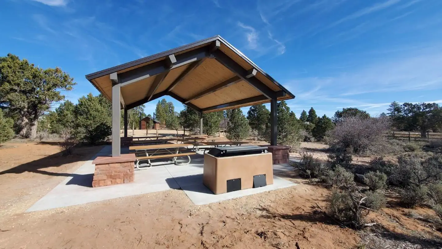
Overview The Ponderosa Grove campground is situated approximately eight miles to the northwest of Kanab, Utah, at 6,300 feet in elevation and is named for the small canopy of ponderosa pine trees that shade its campsites. The climate in the area ranges from extremely cold in the winter to temperatures over 100 degrees Fahrenheit during the summer months. Recreation Ponderosa Grove campground was designed and constructed in the 1970’s. As the adjacent sand dunes became a popular off-highway-vehicle (OHV) destination, OHV enthusiasts became frequent users of the campground. The campground is located on approximately sixteen acres of public lands managed by the BLM. Facilities Amenities at Ponderosa Grove campground include the addition of 26 car-camping sites (including gravel tent platform, parking barrier, fire ring and compacted gravel parking area), 6 RV sites, 2 walk-in campsites (including parking area and gravel tent platform), compacted gravel loop road, cattle guard, dumpster with enclosure, and a reservable group camping area for up to 40 people (including 2 car/RV sites, locking gate, group fire pit, shade pavilion w/ barbeque grill, double vault restroom and parking stalls for 13 vehicles). The Field Manager may approve larger group sizes for special events or other purposes on a case-by-case basis. Standard car-camping sites were designed to accommodate parking for 2 vehicles and 1-2 tents. Construction is scheduled to be completed in the summer of 2021, following installation of the group site shade pavilion, barbeque grill and fire pit. Natural Features The campground sits amid rolling sagebrush and scrub hills which form the top of the Vermilion Cliffs and a short distance to the north of the Coral Pink Sand Dunes. Views of the surrounding landscape include the White Cliffs and colorful pink cliffs of the Bryce geologic formation. The area contains a variety of wildlife including mule deer, raptors, coyotes, rabbits, quail, etc. Tourism and recreation are a growing and important component of the local economy. Nearby Attractions Ponderosa Grove campground primarily serves recreators visiting the Grand Staircase—Escalante National Monument, Coral Pink Sand Dunes, Zion National Park, Best Friends Animal Sanctuary, and the Kanab Field Office. Recreation activities that visitors utilize in the area include sightseeing, riding ATV/UTV’s, hiking, photography, horseback riding, hunting, and climbing/rappelling. The average length of stay at Ponderosa Grove campground is estimated at 2 – 3 nights
From the BLM.Official page
Is Ponderosa Grove Campground free?
No. Ponderosa Grove Campground charges a fee. It is managed by the BLM.
How do I get to Ponderosa Grove Campground?
Ponderosa Grove Campground is at 37.0891, -112.6722. We do not hold written directions for this one, so navigate to the coordinates.
Nearby
- WATCHMAN CAMPGROUND18.9 mi
- South Campground19.0 mi
- SOUTH CAMPGROUND (UT)19.0 mi
- Lava Point Campground28.4 mi
- Duck Creek Campground29.5 mi
- DUCK CREEK29.6 mi
- Spruces Campground30.1 mi
- SPRUCES CAMPGROUND (DIXIE NF)30.1 mi
No other services within 50 mi on the record.
SourceData from the BLM. Last synced September 19, 2026. Community reports and photos are submitted by travelers and are not verified by the agency.
