
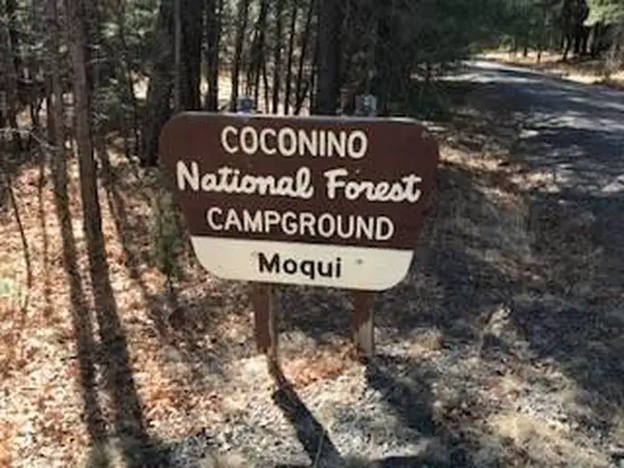
Moqui Group Campground
Campground · Fee
Fast facts
- Cost
- Fee charged
- Type
- Campground
- Phone
- 928-477-2255
- Nearest dump station
- Woods Canyon Dump Station · 23.9 mi
- Coordinates
- 34.5961, -111.1987
- Last verified
- September 19, 2026
About this place
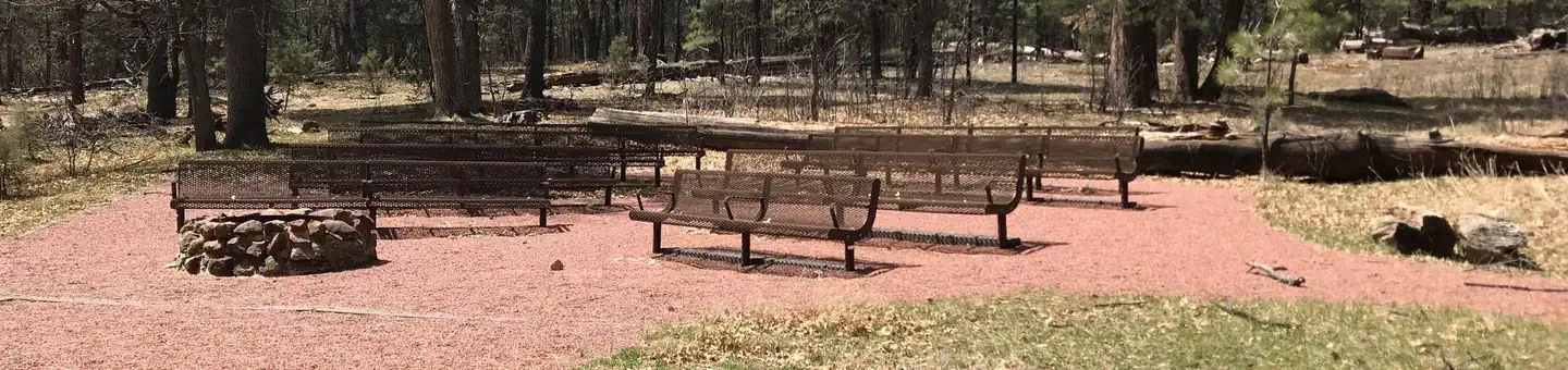
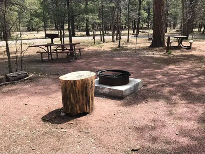
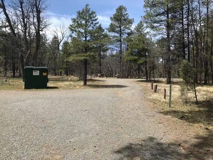
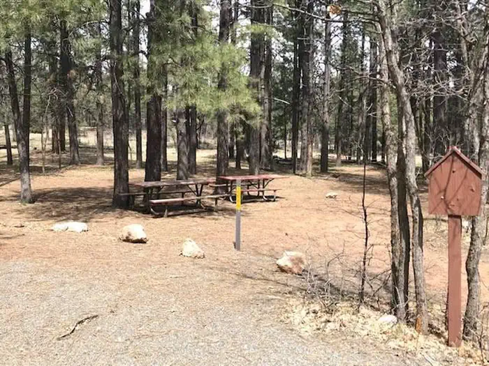
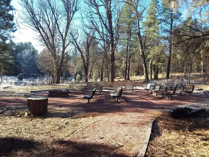
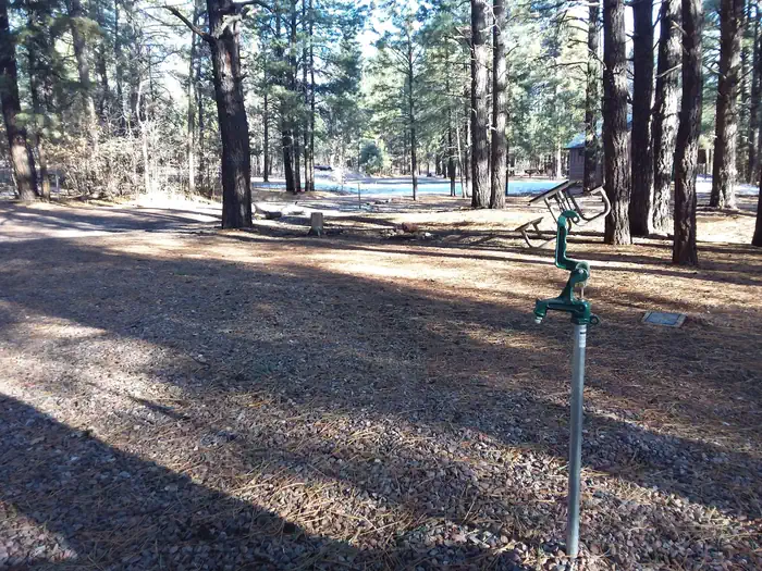
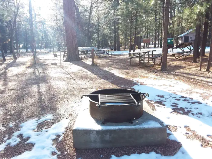
Overview The Moqui Group Campground sits in a beautiful setting surrounded by ponderosa, oak, and aspen at an elevation of 6,915'. The campground consists of 3 individual group sites: Simmons, Spooner, and Ernst. Each site can accomodate up to 50 people offering picnic tables, fire rings, grills, vault tolets, trash collections, and piped drinking water. For groups larger than 50 people, multiple sites can be reserved. The Simmons and Spooner Group sites can each accomodate a maximum of 3 trailers or RV's up to 22'. The Earnst Group site is best suited for tents and smaller equipment. Recreation Many visitors spend time relaxing and exploring the area. The nearby C.C. Cragin Reservoir and Knoll Lake offer opportunities for water based recreation, while the Arizona National Scenic Trail, General Crook National Recreation Trail, and historic Cabin Loop Trail System offer opportunities for hikers, bicyclist, and equestrian users. There are also several Fire Lookout Towers in the area. Facilities The group sites include fire rings, grills, picnic tables, vault toilets, trash collection, and piped drinking water. Natural Features The campground is in a forested setting. The nearby Mogollon Rim is one of the most striking geologic features in the state. This steep escarpment, measured in thousands of feet, stretches from New Mexico diagonally accross two thirds of Arizona and offers sweeping views of the landscape. Nearby Attractions The community of Happy Jack, Arizona has a gas station, two convenience stores and two restaurants.
From the managing agency.
Is Moqui Group Campground free?
No. Moqui Group Campground charges a fee.
How do I get to Moqui Group Campground?
Moqui Group Campground is at 34.5961, -111.1987. We do not hold written directions for this one, so navigate to the coordinates.
Nearby
SourceSource data is agency published. Last synced September 19, 2026. Community reports and photos are submitted by travelers and are not verified by the agency.
