
Lower Tonto Creek
Campground · Fee not listed
Fast facts
- Cost
- Not listed. Check locally.
- Type
- Campground
- Phone
- N/A
- Nearest dump station
- Woods Canyon Dump Station · 8.9 mi
- Coordinates
- 34.3325, -111.0973
- Last verified
- September 19, 2026
About this place
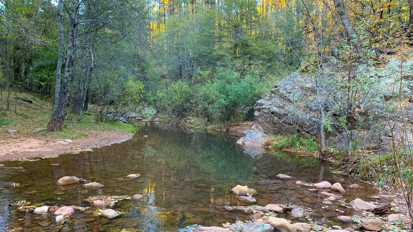
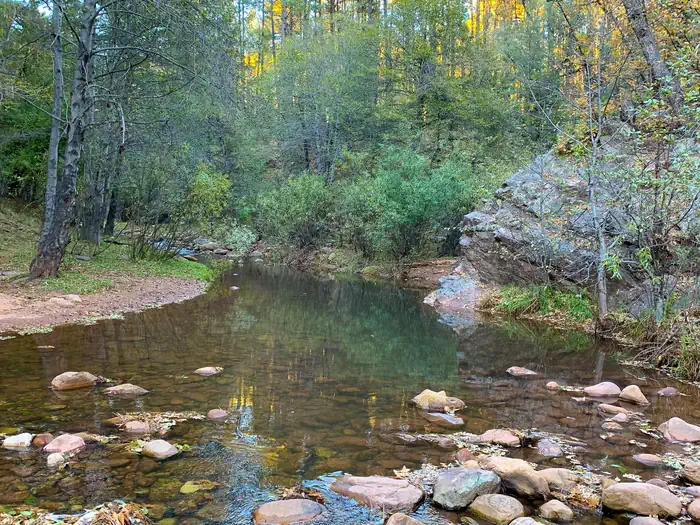
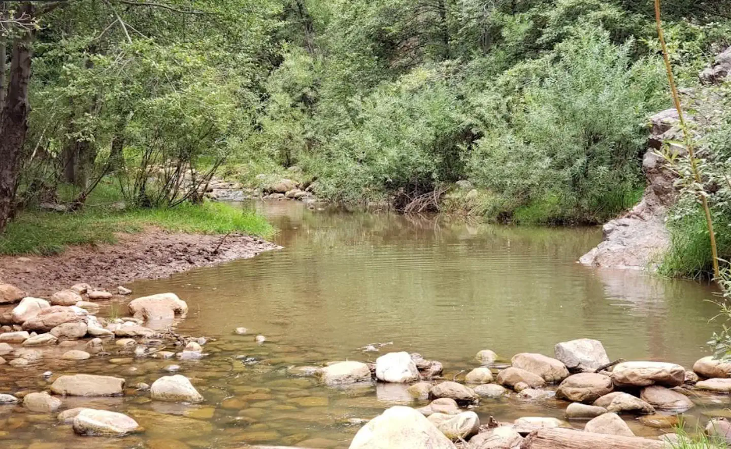
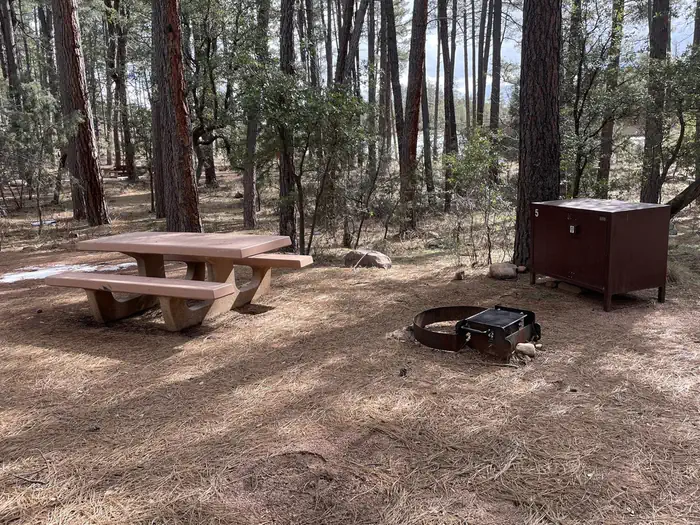
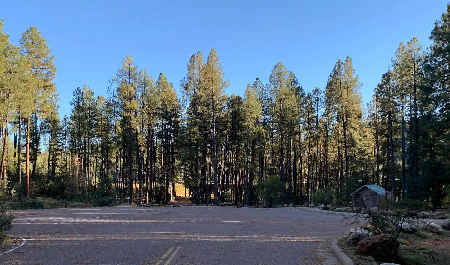
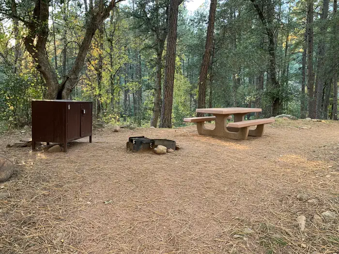
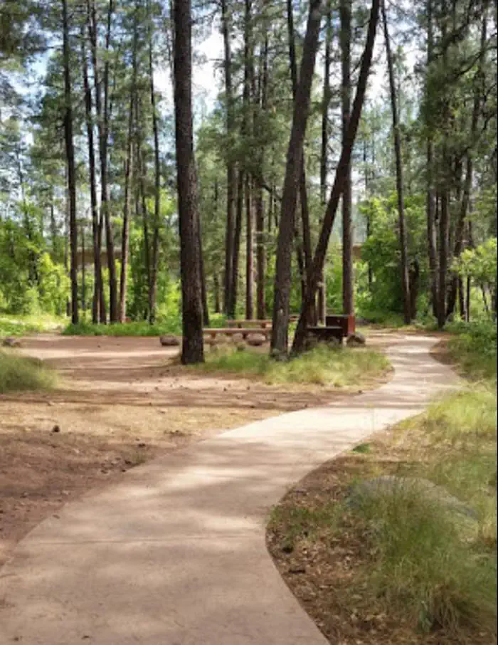
Overview The Lower Tonto Creek Campground is tucked away right next to the main highway just south of where the Tonto and Horton Creeks merge. Families may enjoy fishing at both Tonto and Horton Creeks or pass time hiking through nearby Horton Creek Trail or Derrick Trail. The Lower Tonto Creek Campground has a large open-space parking lot and paved walkway makes it accessible with only a light hike to the creek. This location is available on a first-come, first-served basis only. Visitors are required to physically arrive at the campground to purchase and claim a site. Once on-site, you will be able to pay for your campsite(s) by scanning a QR code using the Recreation.gov mobile app, and the Scan and Pay feature. You will need to first download the free Recreation.gov mobile app https://www.recreation.gov/mobile-app prior to your arrival as this area has limited or no cellular service. There is no adjacent parking spot to any camp site. Walk-in access only to all campsites (paved sidewalk is provided). Map to campground here . Please note: This campground is right next to Hwy 260 and receives a considerable amount of traffic noise and light throughout the day & night. Recreation The union of Tonto and Horton Creeks is at the north end of the Upper Tonto Creek campground. Fishing in both creeks is a popular sport. The trailheads for Horton Creek Trail 285 and Derrick Trail 33 are located in the Upper Tonto Creek campground. Both of these trails access the Highline National Recreation Trail (#31 Natural Features Located just South of where the Tonto and Horton Creeks merge. Campsites are dotted along a paved sidewalk surrounded by tall Pines, situated just next to Tonto Creek. Please note: This campground is right next to Hwy 260 and receives a considerable amount of traffic noise and light throughout the day & night.
From the managing agency.
Is Lower Tonto Creek free?
We do not have a fee on record for Lower Tonto Creek. Confirm the cost locally before you go.
How do I get to Lower Tonto Creek?
Lower Tonto Creek is at 34.3325, -111.0973. We do not hold written directions for this one, so navigate to the coordinates.
Nearby
SourceSource data is agency published. Last synced September 19, 2026. Community reports and photos are submitted by travelers and are not verified by the agency.
