
Lees Ferry Campground
Campground · Fee
Fast facts
- Cost
- $26.00
- Type
- Campground
- Sites
- 54 total · 0 reservable · 54 first come
- Reservations
- pay.gov
- Coordinates
- 36.8593, -111.6063
- Last verified
- September 19, 2026
About this place
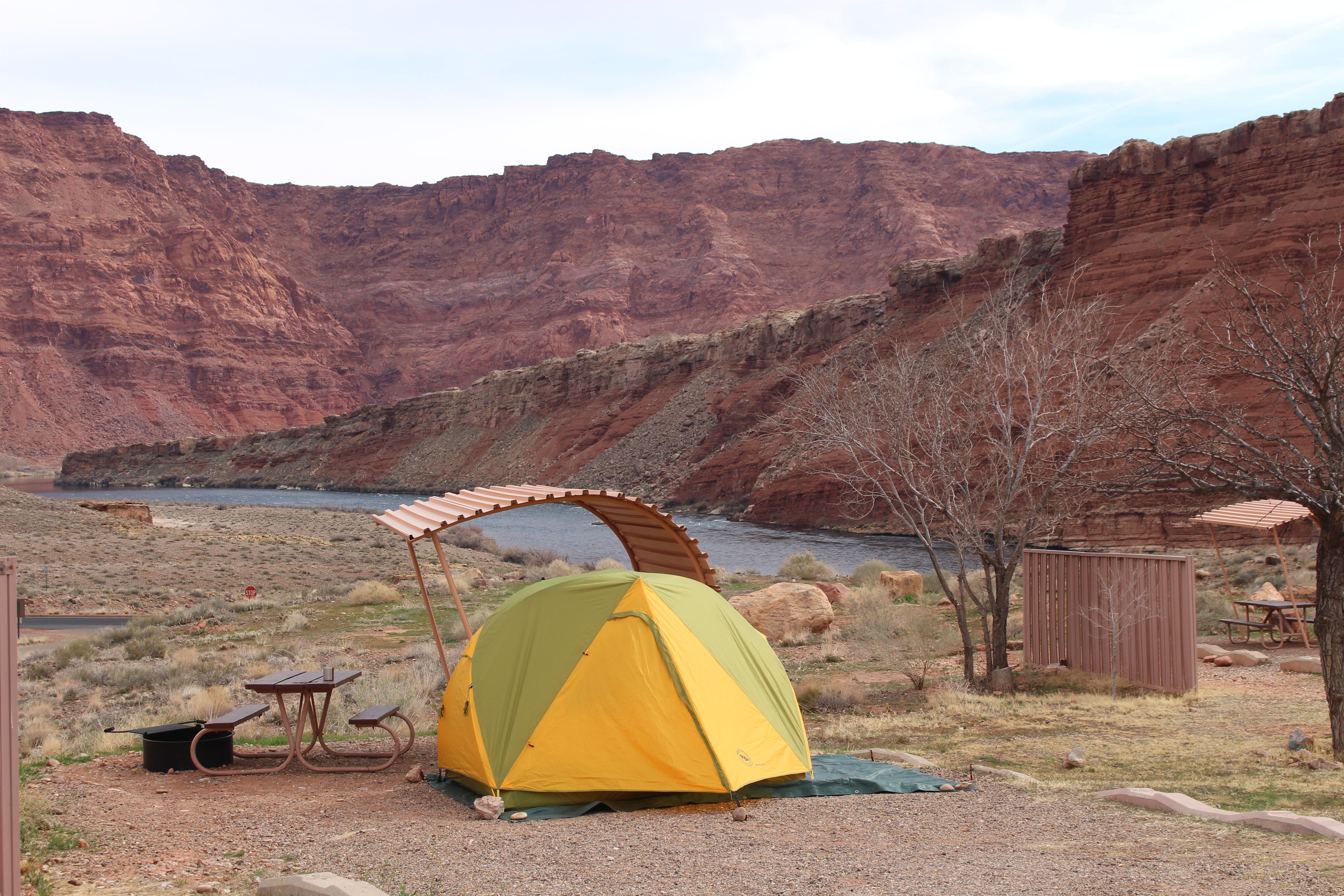
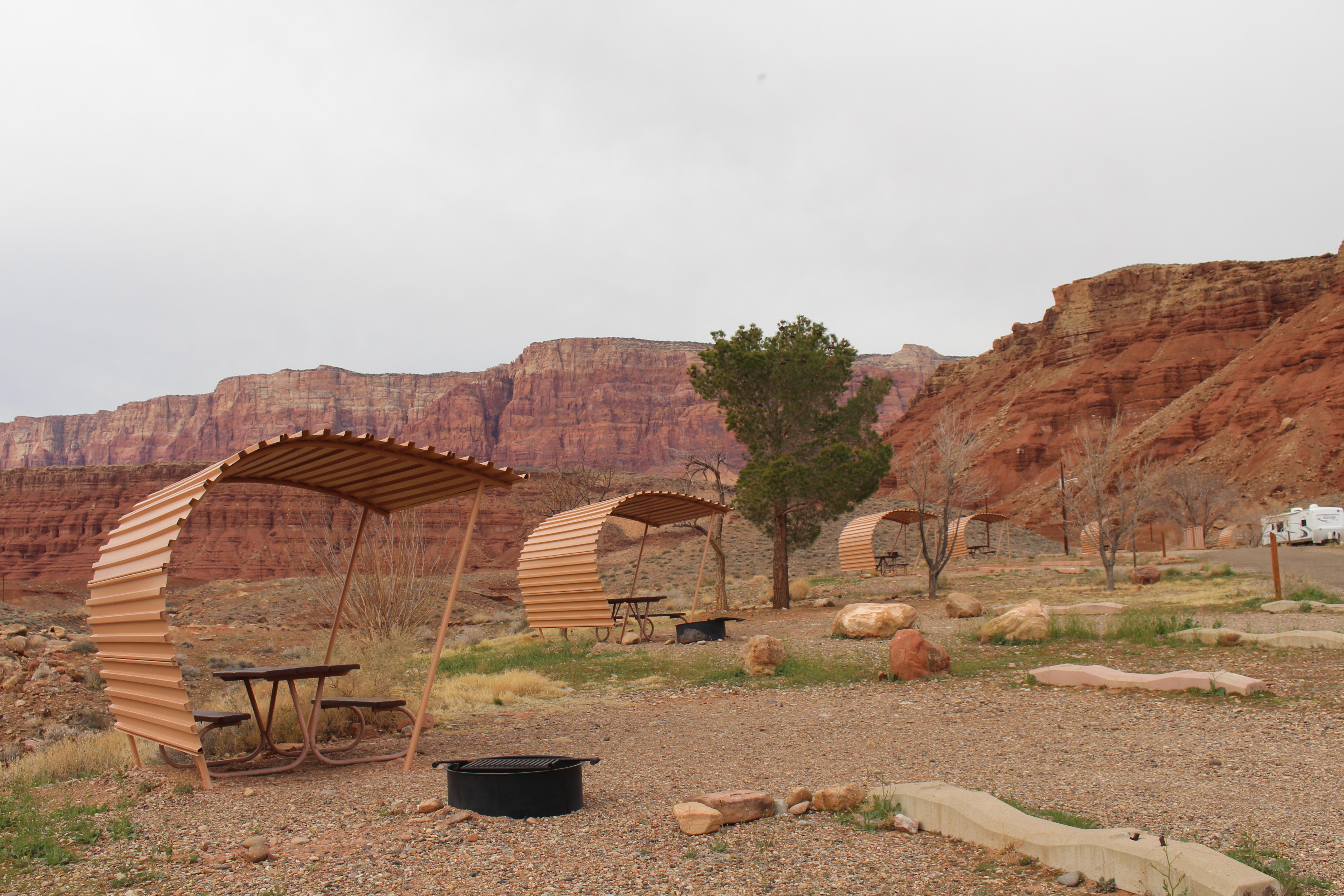
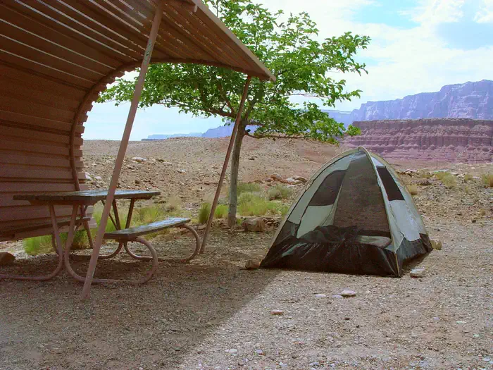
No reservations. $26 per site/per night. 54 designated sites. No hookups. RV dump station. Grills provided, no open fires. Quiet time 10pm-6am. Modern bathroom/comfort station, potable water available, launch ramp 2 miles. Gas and supply store at Marble Canyon, about 5 miles away. Wow, views of Colorado River and Vermillion Cliffs.
From the managing agency.
Is Lees Ferry Campground free?
No. Lees Ferry Campground charges $26.00. Sites are reservable through pay.gov.
Can I bring an RV to Lees Ferry Campground?
Lees Ferry Campground has 54 sites on record. 0 sites are reservable and 54 are first come.
How do I get to Lees Ferry Campground?
Off Hwy 89A on the Lees Ferry road.
What is the weather like at Lees Ferry Campground?
Summers are extremely hot with little, if any, shade. Winters are moderately cold with nighttime lows often below freezing. Spring weather is highly variable and unpredictable with extended periods of winds. Fall weather is usually nice and mild, a great time to beat the heat. Temperatures can range from 110° F (38°C) in June & July to 0° F (-16°C) in December & January. Precipitation is generally light though heavy rains and flash flooding is possible during the summer and fall monsoons.
What are the rules at Lees Ferry Campground?
54 designated sites. No hookups. RV dump station. Grills provided, no open fires. Quiet time 10pm-6am. Modern bathroom/comfort station, potable water available, launch ramp 2 miles. Gas and supply store at Marble Canyon, about 5 miles away. No reservations. $26 per site/per night.
Nearby
- Colorado River Primitive Camping Between Glen Canyon Dam and Lees Ferry1.2 mi
- Beehives Primitive Campground8.2 mi
- Wahweap Campground & RV Park11.2 mi
- Antelope Point RV Park11.8 mi
- White House Campground21.9 mi
- Stateline Campground25.7 mi
- Stateline Campground25.7 mi
- JACOB LAKE RECREATION AREA35.2 mi
No other services within 50 mi on the record.
SourceSource data is agency published. Last synced September 19, 2026. Community reports and photos are submitted by travelers and are not verified by the agency.
