
GRAYLING
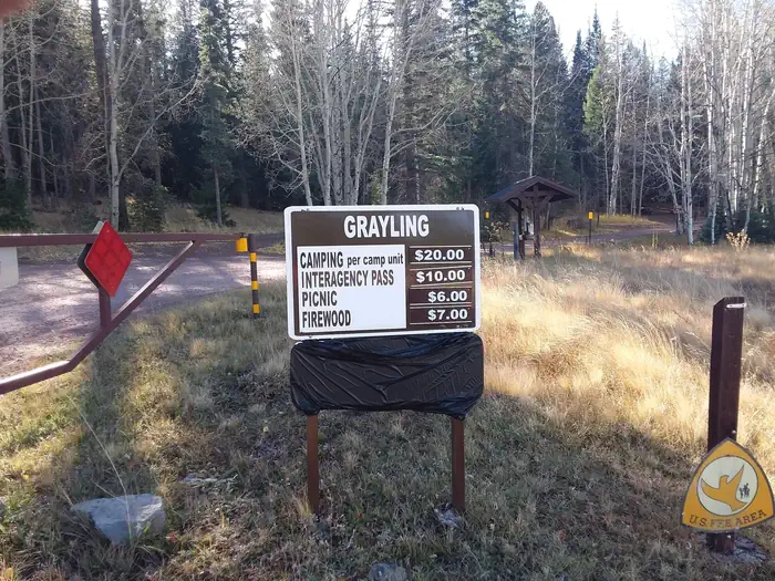
Campground · Fee not listed
Fast facts
- Cost
- Not listed. Check locally.
- Type
- Campground
- Nearest dump station
- Big Lake Dump Station Dump Station · 0.7 mi
- Coordinates
- 33.8731, -109.4131
- Last verified
- September 19, 2026
About this place
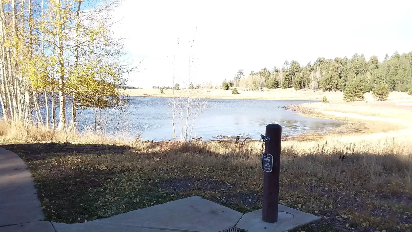
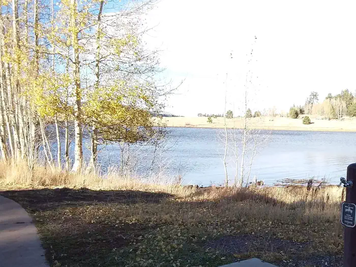
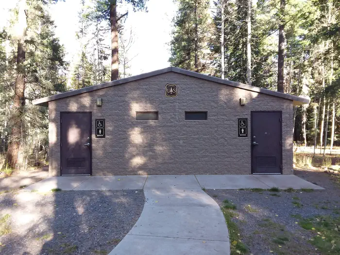
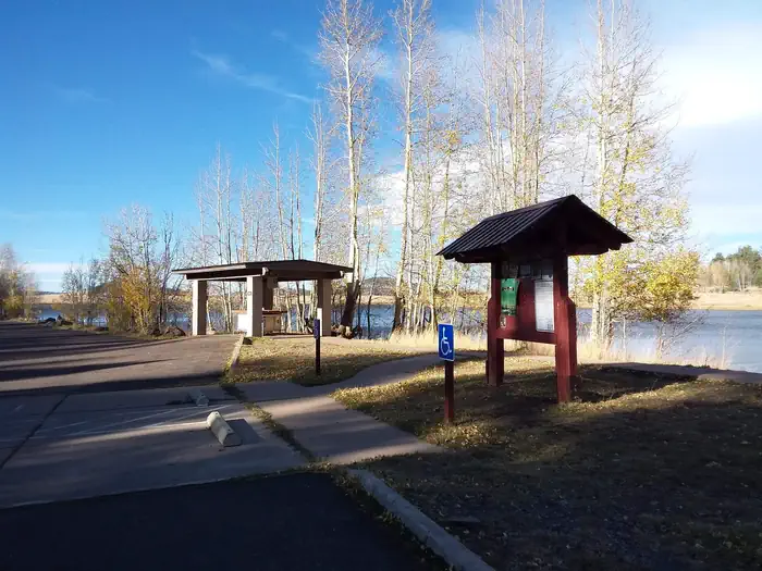
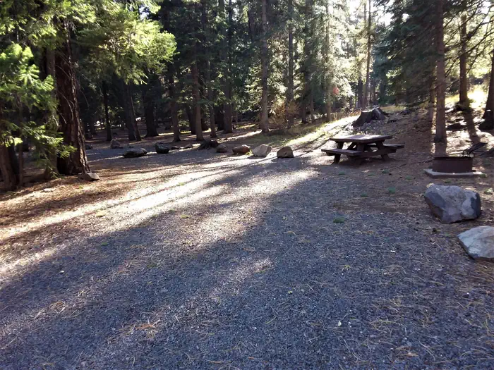
Overview Grayling Campground offers perhaps the most secluded sites in the Big Lake Recreation Area in eastern Arizona. It sits on the shoreline of the lake in a mixed conifer and aspen forest and affords visitors many recreational opportunities in a quiet, scenic setting. Popular activities include trout fishing and hiking. Recreation The campground is adjacent to 450-acre Big Lake, one of Arizona's top fishing lakes. The lake is known for its trout fishing, with rainbow, cutthroat, brook and Apache being the most sought-after species. The recreation area is also popular for hiking, mountain biking, birding and wildlife viewing. Curious campers can attend educational programs at the recreation area's visitor center. Facilities All 23 campsites in this small facility are located along one loop. Some sites have a view of the lake, though none are directly on the waterfront. Flush toilets are a comfort of home, and showers can be found one mile away. A dump station for RV campers is one mile away. A store is also nearby with gas, food, boat rentals and firewood for sale. Natural Features Grayling sits in the White Mountains at an elevation of 9,000 feet. It is a very scenic area, forested with ponderosa pine, Douglas fir, spruce and aspen trees, which provide ample shade. Summer temperatures are pleasant and cool, a nice respite from the heat of lower deserts. Visitors should come prepared for cool nighttime temperatures and occasional summer rain storms. Contact Info For facility specific information, please call (928) 537-8888. Nearby Attractions Visitors can explore endless vistas and take part in many outdoor activities in the surrounding Apache-Sitgreaves National Forest, which encompasses 2 million acres of magnificent mountain country in east-central Arizona and New Mexico. Springerville, Arizona is the closest town to the campground.
From the managing agency.
Is GRAYLING free?
We do not have a fee on record for GRAYLING. Confirm the cost locally before you go.
How do I get to GRAYLING?
GRAYLING is at 33.8731, -109.4131. We do not hold written directions for this one, so navigate to the coordinates.
Nearby
SourceSource data is agency published. Last synced September 19, 2026. Community reports and photos are submitted by travelers and are not verified by the agency.
