
Boulder Beach Group Campground
Campground · Fee
Fast facts
- Cost
- $80.00
- Type
- Campground
- Sites
- 5 total · 5 reservable · 0 first come
- Reservations
- recreation.gov
- Nearest water fill
- Mission Hills · 11.3 mi
- Coordinates
- 36.0375, -114.8026
- Last verified
- September 18, 2026
About this place
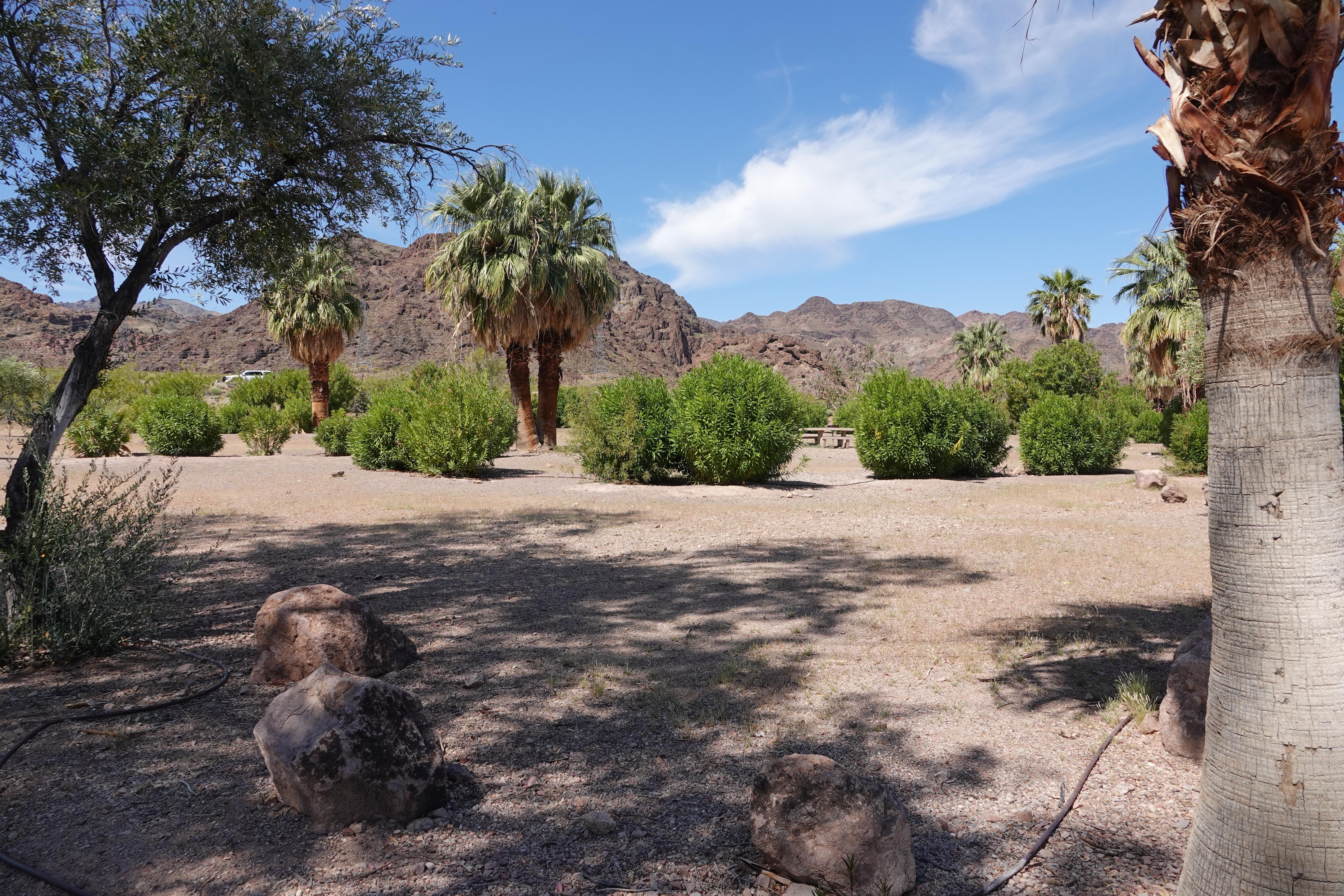
When you stay at the Boulder Beach Group Campground, you’ll have access to many recreation opportunities. Boulder Beach, Special Events Beach, Canoe/Kayak Beach and PWC Beach are 1-2 miles away. At these locations you can swim, kayak and jet ski. If you prefer to explore the park on land, the River Mountains Loop Trail passes right by the campground. This paved trail is more than 30 miles long and leads to the Historic Railroad Trail.
From the managing agency.Official page
Is Boulder Beach Group Campground free?
No. Boulder Beach Group Campground charges $80.00. 5 of its sites are reservable through recreation.gov.
Can I bring an RV to Boulder Beach Group Campground?
Boulder Beach Group Campground has 5 sites on record. 5 sites are reservable and 0 are first come.
How do I get to Boulder Beach Group Campground?
Located just minutes from Las Vegas along Lakeshore Road within the park between the cities of Henderson and Boulder City, NV. Take US Hwy 93 into the Boulder Entrance of the park. Follow Lakeshore Road 2 miles and take your second right. The group campground is on the right.
What is the weather like at Boulder Beach Group Campground?
Spring (April, May and June): Daytime highs 80 °F to 98 °F. Nighttime lows 50 °F to 66 °F Summer* (July, August and September): Daytime highs 89 °F to 103 °F (It can get up to 117 °F.) Fall (October, November and December): Daytime highs 59 °F to 83 °F. Nighttime lows 32 °F to 50 °F. Winter (January, February and March) Daytime highs 57 °F to 69 °F. Nighttime lows 30 °F to 40 °F. *Summer can be a dangerous time due to excessive heat. Some trails are closed for public safety.
Nearby
SourceSource data is agency published. Last synced September 18, 2026. Community reports and photos are submitted by travelers and are not verified by the agency.
