
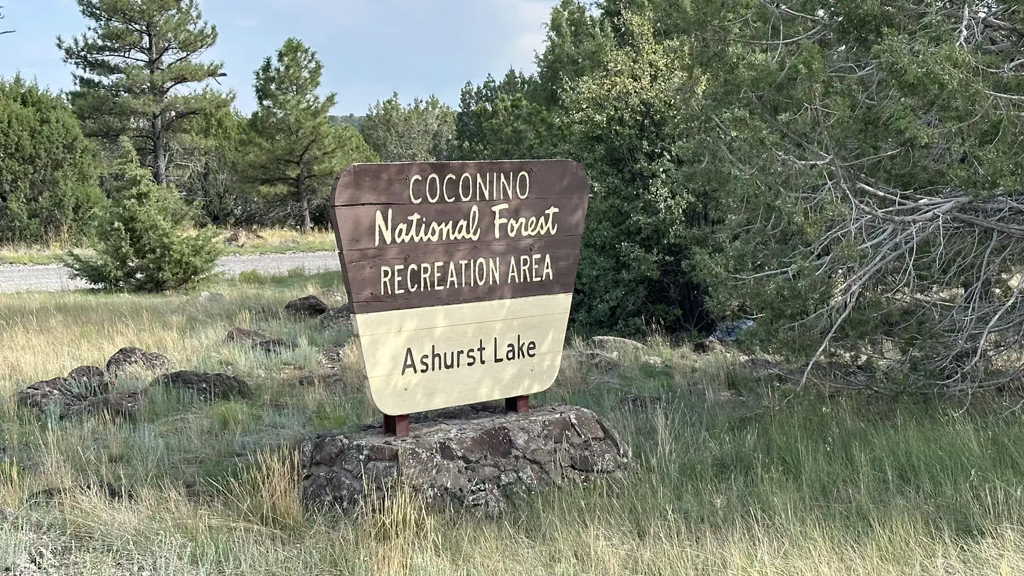
Ashurst Lake
USFS · Campground · Fee
Fast facts
- Cost
- Fee charged
- Managed by
- USFS
- Type
- Campground
- Phone
- N/A
- Nearest dump station
- Woods Canyon Dump Station · 54.9 mi
- Coordinates
- 35.0195, -111.4085
- Last verified
- September 19, 2026
About this place
Recreation In addition to fishing and board sailing, the lake offers excellent opportunities for birdwatching during the spring waterfowl migration. For a special treat look for white-faced ibises grazing in the shallows along with the cinnamon teal, pintails and other ducks. Bald eagles and osprey can also be seen in the area, along with a number of species of hawks and songbirds. A graveled road to the lake and graveled road that surrounds most of the lake provides convenient access for most passenger vehicles and bicycles. Rustic gravel and “two-track” roads in the area offer some great opportunities to mountain bike or walk out into the surrounding juniper/ponderosa mixed forest for some wildlife viewing and open spaces. The San Francisco Peaks stand majestically on the horizon providing a grand display of Arizona’s volcanic past. Facilities 25 singles unit sites (Ashurst), tables, fire rings, and cooking grills, drinking water, toilets (vault and compost type). Boat ramp is located on the lake's west side. Contact Info For facility specific information, please call (928) 774-9671.
From the USFS.
Is Ashurst Lake free?
No. Ashurst Lake charges a fee. It is managed by the USFS.
How do I get to Ashurst Lake?
Ashurst Lake is at 35.0195, -111.4085. We do not hold written directions for this one, so navigate to the coordinates.
Nearby
SourceData from the USFS. Last synced September 19, 2026. Community reports and photos are submitted by travelers and are not verified by the agency.
