
OLD HIGHWAY 25
Campground · Fee not listed
Fast facts
- Cost
- Not listed. Check locally.
- Type
- Campground
- Phone
- 501-250-0483
- Coordinates
- 35.5342, -92.0219
- Last verified
- September 19, 2026



About this place
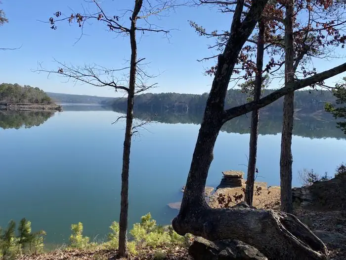
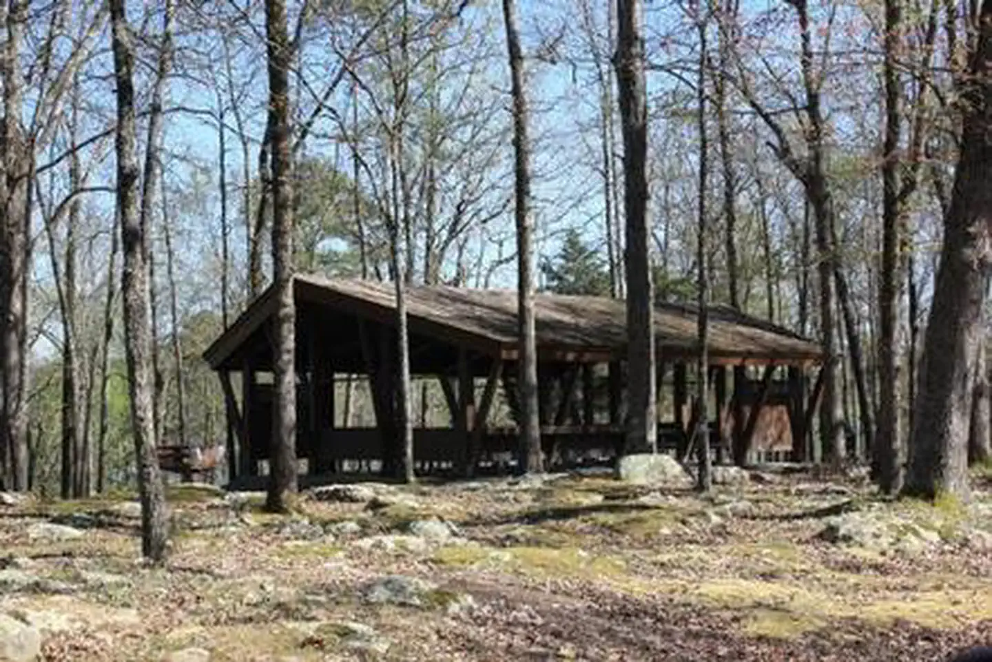
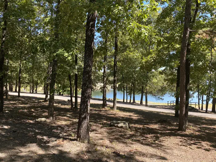
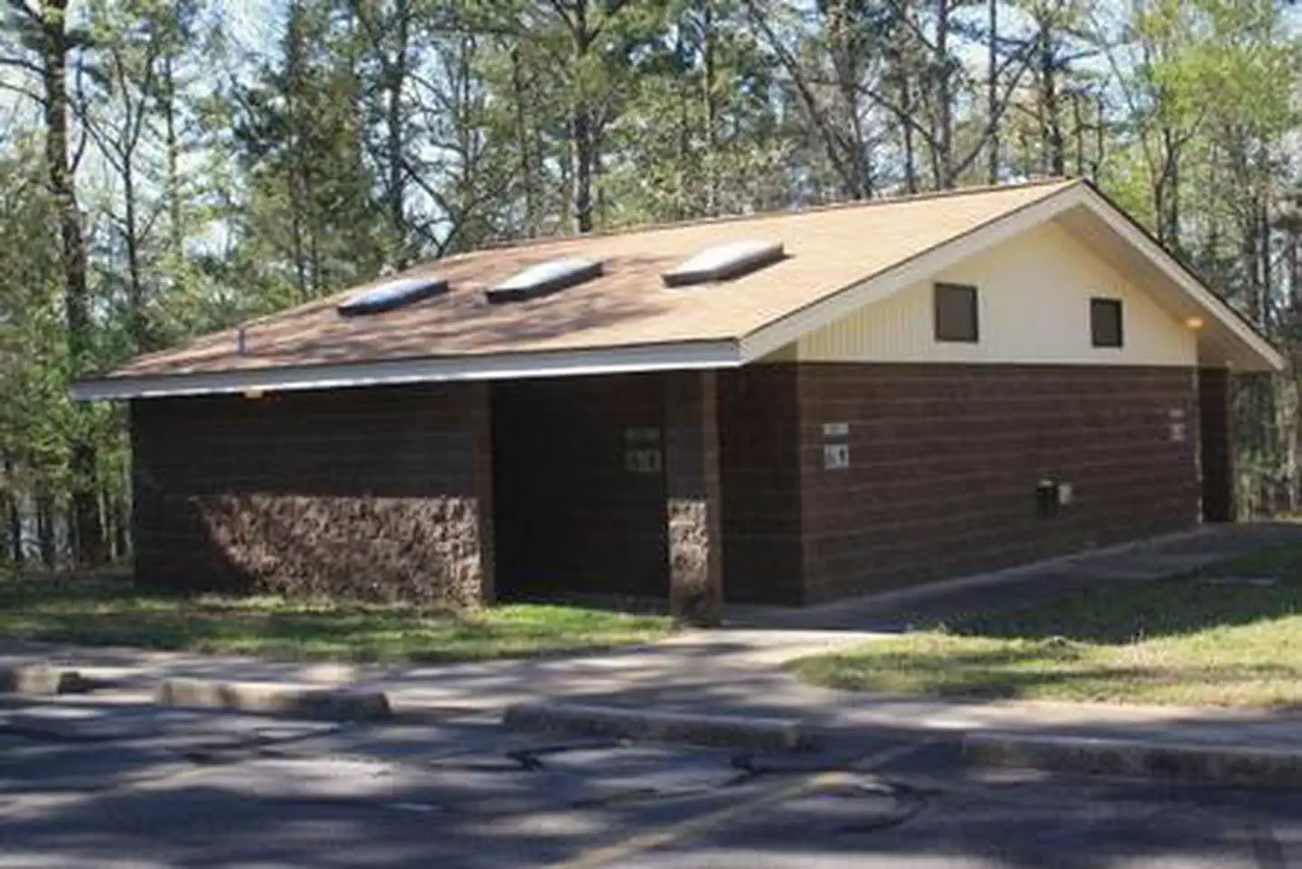
Overview Old Highway 25 Park is located on Greers Ferry Lake in the beautiful Ozark Mountains of north-central Arkansas. The environment provides the ideal location for family camping, fishing, boating and hiking. Recreation Greers Ferry Lake is an outdoor enthusiasts' dream, with boating, sailing, water skiing, swimming, scuba diving and fishing opportunities. Hikers enjoy the area's three National Nature Trails and one multi-purpose fitness trail. The William Carl Garner Visitor Center is just west of the dam, with exhibits, a children's touch table, and a replica of the world record 40 lb. 4 oz. brown trout caught in the Little Red River downstream of the center. Facilities This campground offers 116 sites, 80 of which have electric hookups. One large non-electric group campsite is available as well. Additional amenities include flush and vault toilets, showers, a dump station, picnic shelter, swimming beach and a boat ramp. Natural Features A dense mix of red cedar, black gum, red oak, elm, pecan and sweet gum trees forest the area, providing shade in the summer months and beautiful fall colors in autumn. Wildlife is plentiful around Greers Ferry Lake. Visitors commonly see white-tailed deer, wild turkeys, rabbits, squirrels and a wide variety of birds. Contact Info For local information, please call (501) 250-0483 or call (501) 362-2416 for general information. Nearby Attractions The Greers Ferry National Fish Hatchery, in Heber Springs, located below the dam, offers free tours. Built in 1965, the hatchery produces about one million rainbow trout a year for restocking the Little Red and other Arkansas streams.
From the managing agency.
Is OLD HIGHWAY 25 free?
We do not have a fee on record for OLD HIGHWAY 25. Confirm the cost locally before you go.
How do I get to OLD HIGHWAY 25?
OLD HIGHWAY 25 is at 35.5342, -92.0219. We do not hold written directions for this one, so navigate to the coordinates.
Nearby
- DAM SITE(GREERS FERRY)1.6 mi
- JOHN F KENNEDY1.9 mi
- HEBER SPRINGS3.3 mi
- SHILOH7.0 mi
- HILL CREEK8.9 mi
- DEVILS FORK9.9 mi
- NARROWS (AR)10.1 mi
- SUGAR LOAF14.1 mi
No other services within 50 mi on the record.
SourceSource data is agency published. Last synced September 19, 2026. Community reports and photos are submitted by travelers and are not verified by the agency.
