
NORTH SHORE
Campground · Fee not listed
Fast facts
- Cost
- Not listed. Check locally.
- Type
- Campground
- Phone
- 903-838-8781
- Coordinates
- 33.3578, -94.1789
- Last verified
- September 19, 2026
About this place
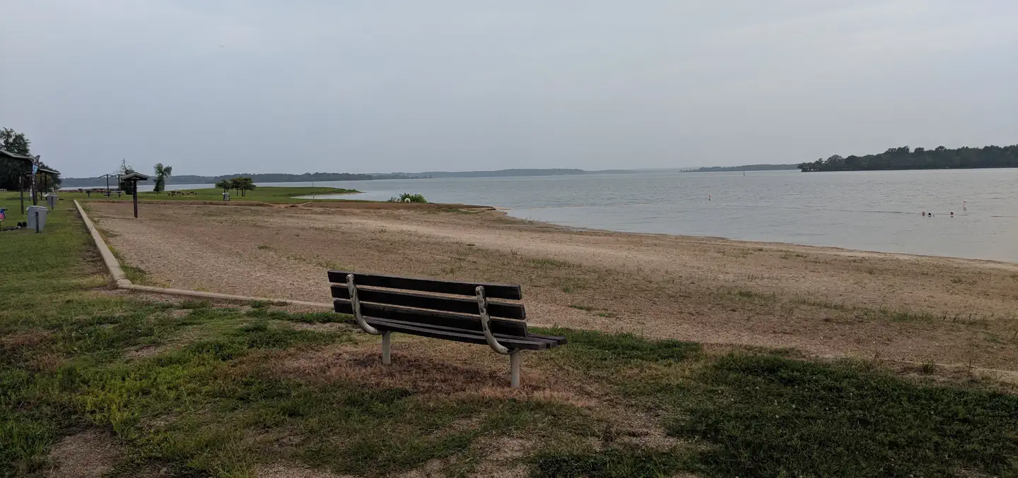
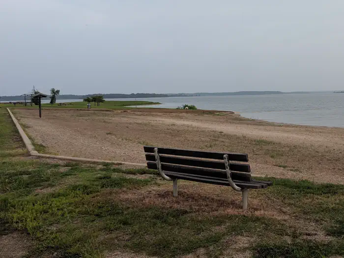
Overview North Shore Park is the largest day-use area on Wright Patman Lake, a 30,000-acre lake set amidst the piney woods of northeast Texas. With a sandy swimming beach, accessible boat ramp, reservable group picnic shelter and numerous other amenities, the park provides a fun, enjoyable day at the lake for a wide variety of visitors. Recreation This facility provides easy lake access for boating and fishing activities, as well as plenty of on-shore fun. Picnickers enjoy swimming and relaxing on the beach. Children have plenty of options to keep busy, including basketball and sand volleyball courts, a playground and horseshoe pit. Facilities The group picnic shelter can accommodate up to 30 people. It is conveniently located next to a restroom with flush toilets and the swimming beach. There are 60 first come, first served picnic sites as well, though water and electricity are not supplied to these sites. There are no overnight campsites available in the park but Clear Springs Campground is one mile away. Natural Features The park overlooks the lake and is set among a thick forest on the sandy shoreline. The U.S. Army Corps of Engineers manages approximately 55,000 acres of public forestland around the lake, providing habitat for wild turkey, bobwhite quail, squirrel, white-tailed deer, waterfowl and migrating bald eagles, pelicans and ducks. Some poisonous snakes inhabit the area. Nearby Attractions The Texarkana region is full of activities such as shopping, movies, restaurants and local historical sites. Shreveport, Louisiana offers river boat gambling, horse races and numerous festivals, including the Four State Fair and Rodeo and the Jump, Jive and Jam Festival.
From the managing agency.
Is NORTH SHORE free?
We do not have a fee on record for NORTH SHORE . Confirm the cost locally before you go.
How do I get to NORTH SHORE ?
NORTH SHORE is at 33.3578, -94.1789. We do not hold written directions for this one, so navigate to the coordinates.
Nearby
- Clear Springs (TX)0.7 mi
- Sportsman's Cove0.8 mi
- OAK PARK (WRIGHT PATMAN LAKE)2.7 mi
- PINEY POINT4.1 mi
- ROCKY POINT(WRIGHT PATMAN DAM)4.9 mi
- MALDEN LAKE CAMPGROUND11.3 mi
- BEARD'S BLUFF PARK (AR)27.8 mi
- WHITE CLIFFS PARK28.9 mi
No other services within 50 mi on the record.
SourceSource data is agency published. Last synced September 19, 2026. Community reports and photos are submitted by travelers and are not verified by the agency.
