
INDIAN POINT
Campground · Fee not listed
Fast facts
- Cost
- Not listed. Check locally.
- Type
- Campground
- Phone
- 417-338-2121
- Coordinates
- 36.6311, -93.3472
- Last verified
- September 19, 2026

About this place
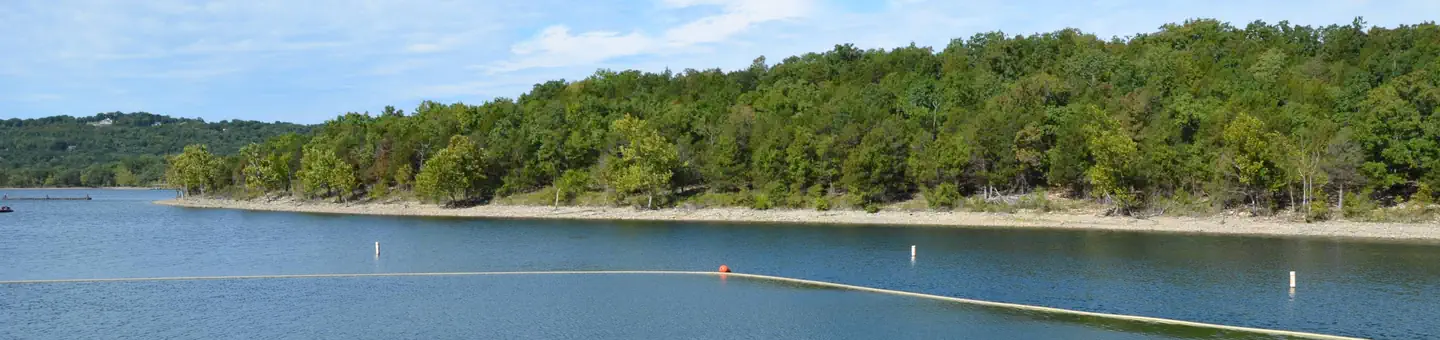
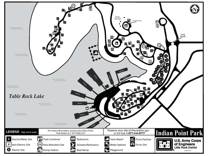
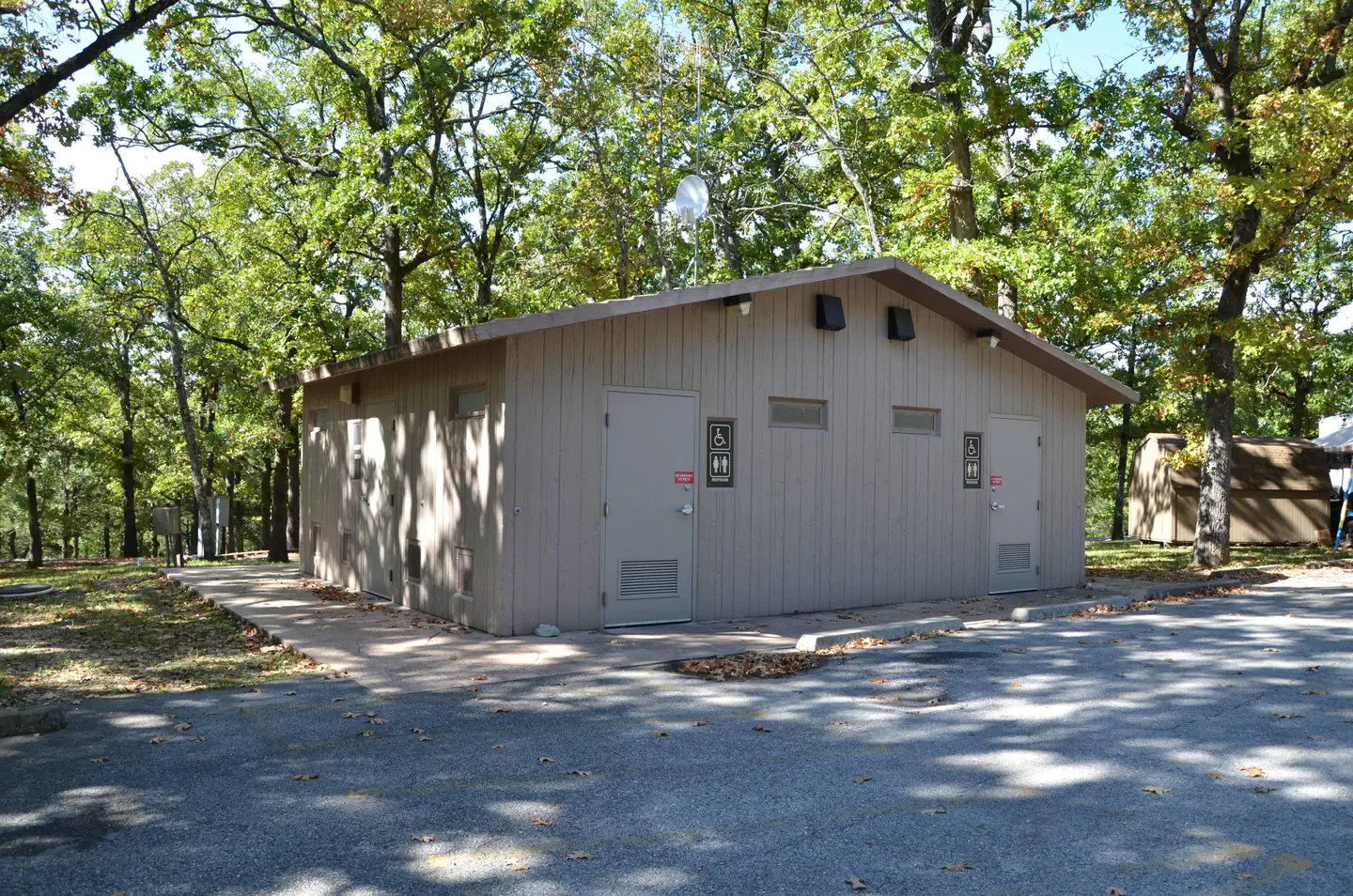
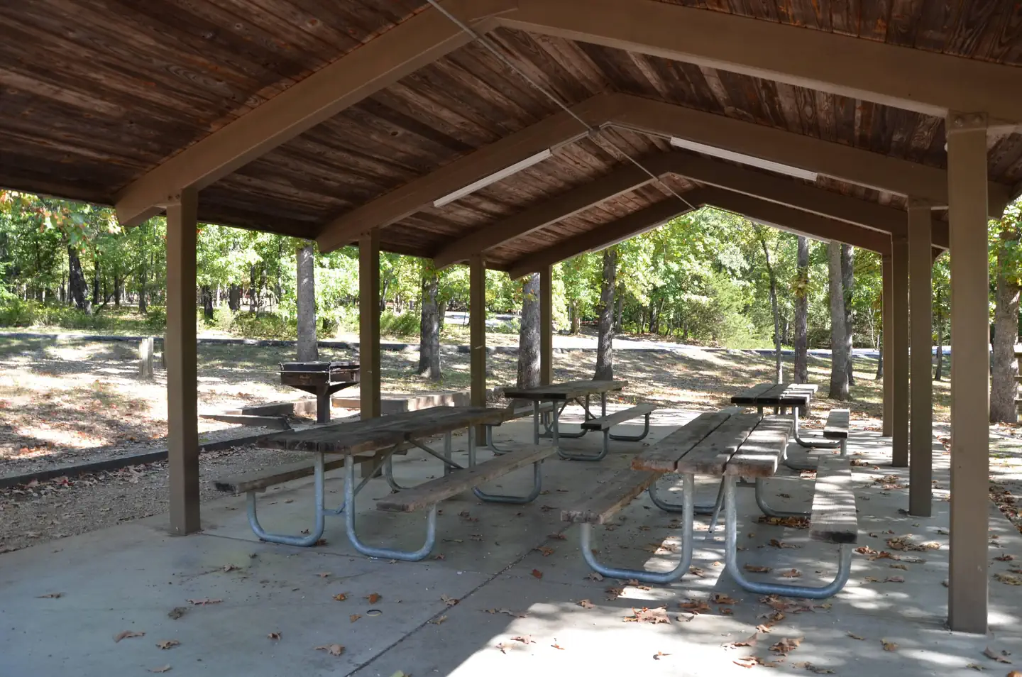
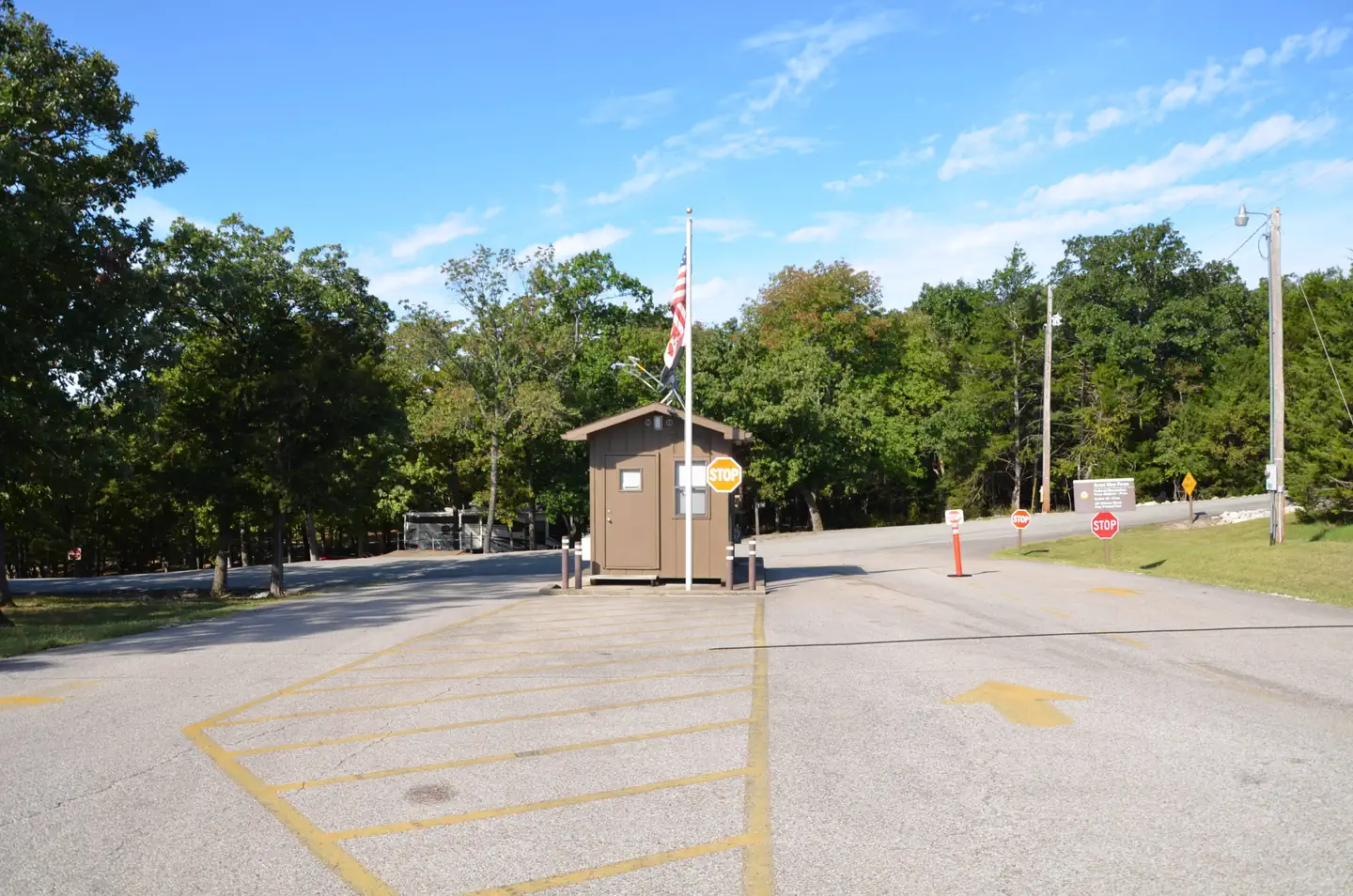
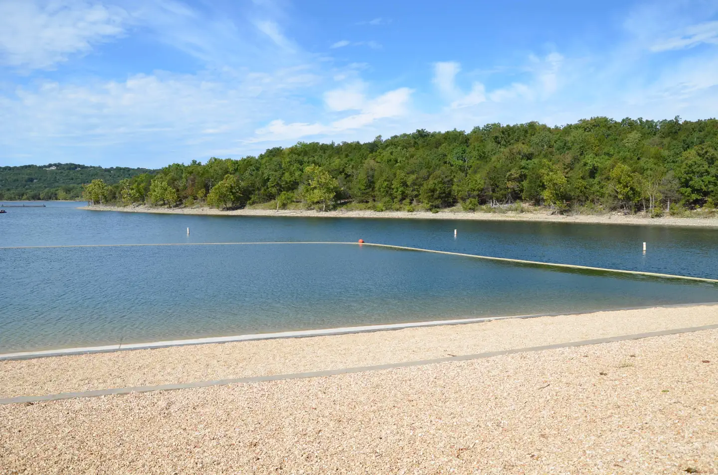
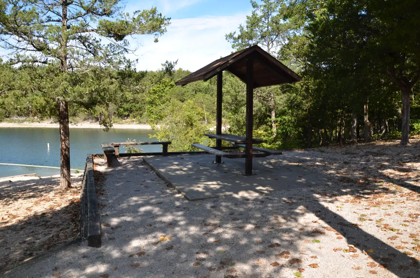
Overview Indian Point is a green and spacious campground on the White River Arm of Table Rock Lake in the mountainous Missouri countryside. A wooded campground with plenty of shade and access to the lake is ideal for visitors looking for the best of both worlds: a scenic outdoors experience as well as close proximity to theme parks, live music and shopping. Recreation Whether on water or land, Indian Point Campground offers visitors countless recreational activities. Picnicking, swimming, scuba diving, boating, fishing, hiking and wildlife viewing are all popular pastimes at the park. While the lake boasts an abundance of crappie, catfish, and bluegill, Table Rock is most famous for bass, and is acclaimed as one of the best bass fishing lakes in this hemisphere. Table Rock Lakeshore Trail, about 2 miles long, runs from the Dewey Short Visitor Center to the Table Rock State Park Marina. During the spring hikers will see dogwood, serviceberry and redbud trees in bloom as well as many wildflower species. During the autumn months, visitors are treated to nature's colorful fall foliage. The trail also offers beautiful views of Table Rock Lake. Other hiking and mountain biking opportunities are available at the Mark Twain National Forest, parts of which are easily accessible from the campground. Click here for more information. Facilities Indian Point Campground offers 74 reservable campsites, along with one group picnic shelter and one large group camping area. Amenities like hot showers, drinking water, a dump station and electric hookups create a comfortable camping experience. A beach, boat ramp and playground make the campground perfect for family trips. Natural Features Table Rock Lake is a beautiful body of water surrounded by a forest of oak and hickory trees. Its waters wind down through the valleys and hollows of the Ozark Mountains, from Branson, Missouri to Eureka Springs, Arkansas. More than five million visitors per year take advantage of this recreational oasis. Originally built for flood control, the Table Rock Dam has created a lake that boasts 779 miles of shoreline for the public to enjoy. Nearby Attractions The Dewey Short Visitors Center is located at the south end of Table Rock Dam. It offers three educational films focused on the history of the dam, the story of Lewis and Clark and the history of eagles and their endangerment in the state of Missouri. The visitor center also contains exhibits about the natural history of the area. Indian Point Campground is about 8 miles from Branson, Missouri, which offers grocery stores, gas and additional tourist attractions.
From the managing agency.
Is INDIAN POINT free?
We do not have a fee on record for INDIAN POINT. Confirm the cost locally before you go.
How do I get to INDIAN POINT?
INDIAN POINT is at 36.6311, -93.3472. We do not hold written directions for this one, so navigate to the coordinates.
Nearby
- MOONSHINE BEACH REC. AREA2.6 mi
- OLD HIGHWAY 865.2 mi
- MILL CREEK (MISSOURI)5.8 mi
- AUNTS CREEK6.9 mi
- BAXTER9.6 mi
- CRICKET CREEK10.5 mi
- CAMPBELL POINT11.5 mi
- CAPE FAIR12.0 mi
No other services within 50 mi on the record.
SourceSource data is agency published. Last synced September 19, 2026. Community reports and photos are submitted by travelers and are not verified by the agency.
