
Cherokee (Arkansas River)
Campground · Fee not listed
Fast facts
- Cost
- Not listed. Check locally.
- Type
- Campground
- Phone
- 501-340-1003
- Coordinates
- 35.1305, -92.7868
- Last verified
- September 19, 2026
About this place
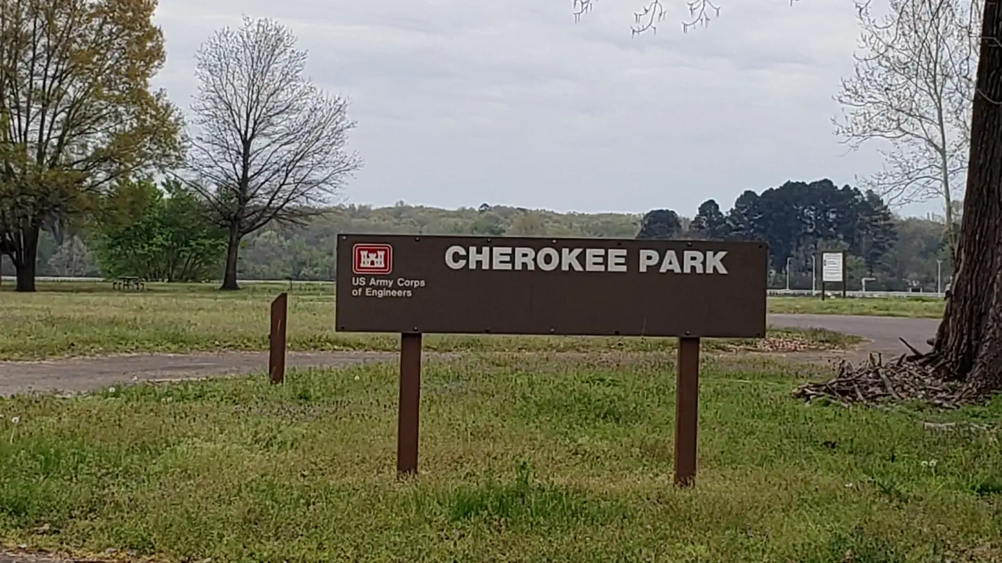
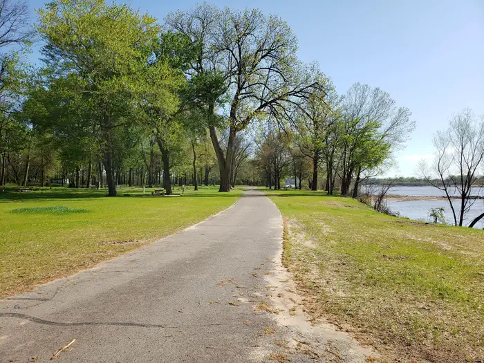
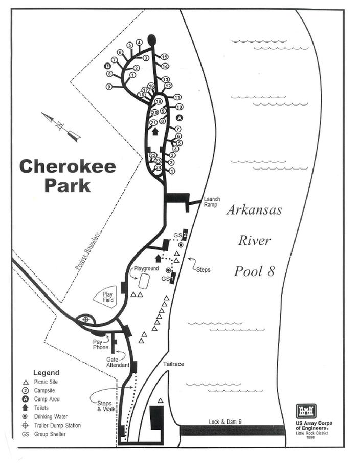
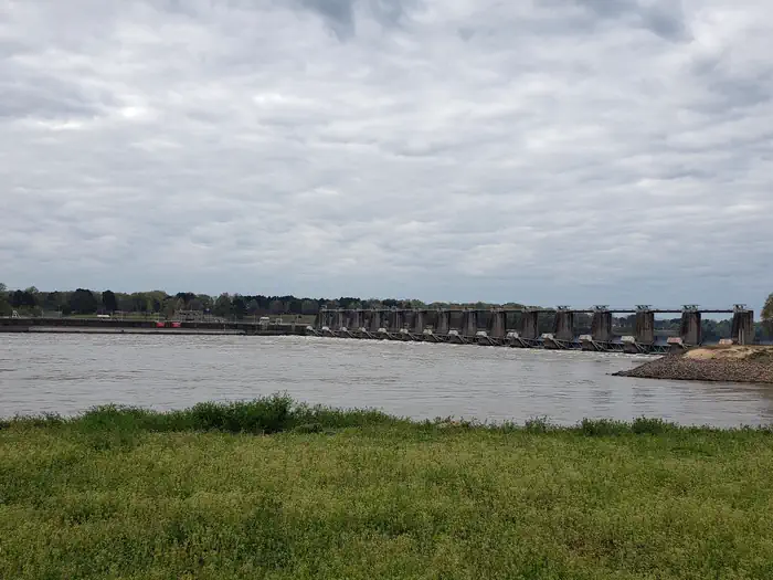
Overview PLEASE NOTE: This is Cherokee Park on the Arkansas River in Morrilton, Arkansas. This is not Cherokee Park at Greers Ferry. You can download a park map HERE You can download a Customer Comment card HERE Special Event Permit Recreation Camping, picnics, boating, fishing, and nature watching are all highly prized at Cherokee park. Facilities Cherokee Campground offers 33 spacious campsites with 30 or 50 amp electric hookups and water, along with two large group picnic shelters. Amenities include a dock, hot showers, a boat ramp and playground. Natural Features The campground is set on the McClellan-Kerr Arkansas River Navigation System, a series of navigation pools used to help ships navigate upstream toward Oklahoma. The Arkansas River is one of the Mississippi's largest tributaries, flowing 1,450 miles from the Rocky Mountains of Colorado, through to Kansas, Oklahoma and Arkansas. Wintering eagles can be seen in large numbers along the Arkansas River. Most of these eagles migrate from Canada and the U.S. Great Lakes region. Contact Info For local information, please call (501) 500-1787 or call (501) 340-1004 for general information. Nearby Attractions Petit Jean State park is only a short drive away. Charges & Cancellations Late Cancellations or Cancellations within the Cut-off Window Individual Campsites: A customer who cancels a reservation the day before or on the day of arrival will pay a $10.00 service fee AND forfeit the first night's use fee (not to exceed the total paid for the original reservation). Cancellations for a one-night reservation will forfeit the entire amount paid and will not be subject to an additional service fee. Once a reservation date has begun, customers cannot change a reservation using the online system or through the Call Center For specific information about fees and cancellations/Changes please visit: Rules and Regulations
From the managing agency.
Is Cherokee (Arkansas River) free?
We do not have a fee on record for Cherokee (Arkansas River). Confirm the cost locally before you go.
How do I get to Cherokee (Arkansas River)?
Cherokee (Arkansas River) is at 35.1305, -92.7868. We do not hold written directions for this one, so navigate to the coordinates.
Nearby
- TOAD SUCK14.3 mi
- OLD POST ROAD22.7 mi
- RIVER ROAD24.2 mi
- QUARRY COVE24.5 mi
- CARDEN POINT25.5 mi
- Brock Creek Campground26.2 mi
- CARTER COVE28.1 mi
- Bayou Bluff Campground28.5 mi
No other services within 50 mi on the record.
SourceSource data is agency published. Last synced September 19, 2026. Community reports and photos are submitted by travelers and are not verified by the agency.
