
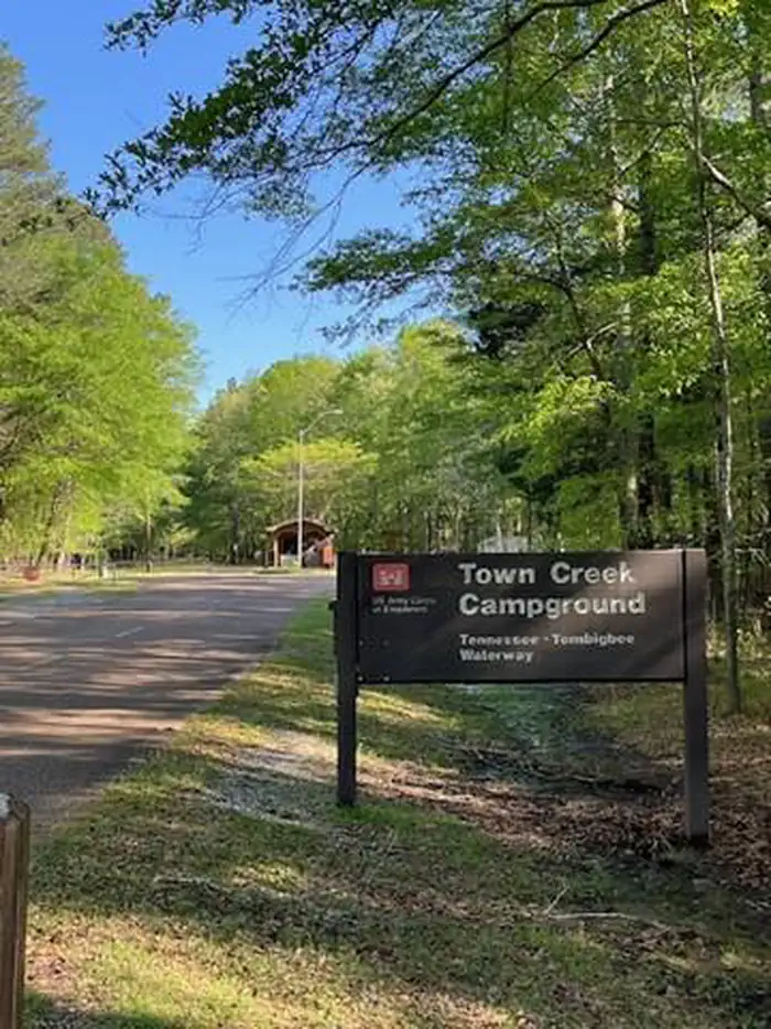
TOWN CREEK CAMPGROUND - WEST POINT - MS
Campground · Fee not listed
Fast facts
- Cost
- Not listed. Check locally.
- Type
- Campground
- Phone
- 662-494-4885
- Coordinates
- 33.6083, -88.5042
- Last verified
- September 19, 2026
About this place
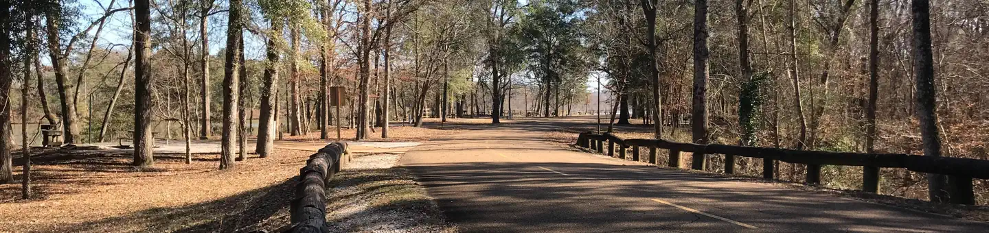
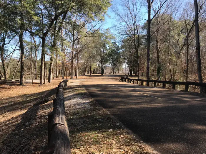
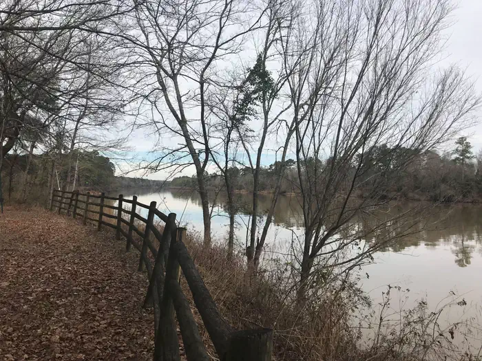
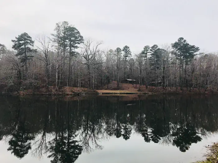
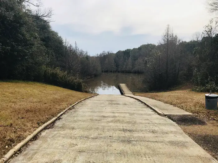
Overview Town Creek Campground is located on the beautiful Columbus Lake in the Tennessee-Tombigbee Waterway. The campground has direct access to the waterway for recreational boating activities and is a great place to relax and view the scenery. Recreation With Columbus Lake and Kennedy Lake to explore, this facility has ample water recreation opportunities. Anglers can try their luck on the fishing dock or head off-shore in search of bass, catfish and crappie. Families with children can play on the facility's three playgrounds and go hiking, biking or birding. The nature trail circling the Kennedy Lake crosses the water in a number of places by way of wooden footbridges. Facilities Town Creek offers 100 sites with electric and water hookups, picnic tables, fire rings with grills and lantern posts along the banks of the waterway. Campers have the convenience of hot showers. The campground also offers 10 primitive, tent-only sites along the Kennedy Lake shore. Natural Features The thickly forested, sloping shoreline and calm water create a peaceful atmosphere. On top of the hill overlooking the Tombigbee is Kennedy Lake; on the back of the lake, water cascades down a stone waterfall and into a creek that meanders through the park. The Tenn-Tom, as the waterway is known, extends 234 miles from the Tennessee River to the junction of the Tombigbee River in Alabama. The man-made waterway connects the nation's midsection of commercial water transportation with the Gulf of Mexico. Nearby Attractions Town Creek Campground is just minutes from the cities of Columbus and West Point, Mississippi, which offer a variety of conveniences such as shopping, restaurants and golf courses.
From the managing agency.
Is this site free?
We do not have a fee on record for this site. Confirm the cost locally before you go.
How do I get to this site?
this site is at 33.6083, -88.5042. We do not hold written directions for this one, so navigate to the coordinates.
Nearby
- DeWayne Hayes Day Use (Columbus Lake)1.8 mi
- DEWAYNE HAYES2.0 mi
- Waverly Day Use (Columbus Lake)2.8 mi
- Stennis East Bank Day Use (Columbus Lake)6.2 mi
- Blue Bluff Picnic Area (Aberdeen Lake)16.2 mi
- BLUE BLUFF CAMPGROUND (ABERDEEN MS)16.4 mi
- Amory Boat Ramp Picnic Shelter27.5 mi
- Raleigh Ryan Ramp Picnic Shelter (Aliceville Lake)28.6 mi
No other services within 50 mi on the record.
SourceSource data is agency published. Last synced September 19, 2026. Community reports and photos are submitted by travelers and are not verified by the agency.
