
MILLERS FERRY CAMPGROUND
Campground · Fee not listed
Fast facts
- Cost
- Not listed. Check locally.
- Type
- Campground
- Phone
- 334-682-4191
- Coordinates
- 32.1158, -87.3897
- Last verified
- September 19, 2026
About this place
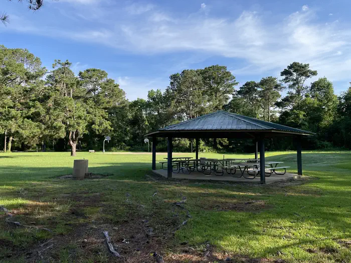
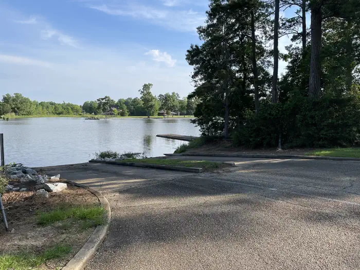
Overview Millers Ferry Campground, also known as East Bank, is located on scenic Dannelly Reservoir in Alabama's Black Prairie Belt. The reservoir sits on the Alabama River and covers roughly 27 square miles, boasting more than 500 miles of shoreline. Boating, fishing, hunting and hiking are popular activities. Recreation The park offers excellent fishing for bass, crappie, bluegill and catfish, and numerous fishing tournaments and annual festivals are held in the immediate area. Whitetail deer and wild turkeys roam the park, creating excellent bow-hunting opportunities. Facilities This campground offers 42 family sites with electric hookups. Amenities include flush toilets, showers, drinking water, laundry facilities and a dump station. A fishing dock, boat ramp, fish cleaning stations and playground provide additional recreation opportunities for guests. Natural Features The Black Prairie Belt is characterized by rich, dark soils and a mosaic of rolling grasslands and dense hardwood and pine forests.
From the managing agency.
Is MILLERS FERRY CAMPGROUND free?
We do not have a fee on record for MILLERS FERRY CAMPGROUND. Confirm the cost locally before you go.
How do I get to MILLERS FERRY CAMPGROUND?
MILLERS FERRY CAMPGROUND is at 32.1158, -87.3897. We do not hold written directions for this one, so navigate to the coordinates.
Nearby
- East Bank Beach Shelters0.0 mi
- Training Dike Park0.1 mi
- Gees Bend Park6.2 mi
- CHILATCHEE CREEK7.0 mi
- Bridgeport Beach Shelter9.0 mi
- Elm Bluff Campground16.4 mi
- SIX MILE CREEK26.2 mi
- ISAAC CREEK35.3 mi
No other services within 50 mi on the record.
SourceSource data is agency published. Last synced September 19, 2026. Community reports and photos are submitted by travelers and are not verified by the agency.
