
GUNTER HILL
Campground · Fee not listed
Fast facts
- Cost
- Not listed. Check locally.
- Type
- Campground
- Phone
- 334-269-1053
- Coordinates
- 32.3667, -86.4667
- Last verified
- September 19, 2026
About this place
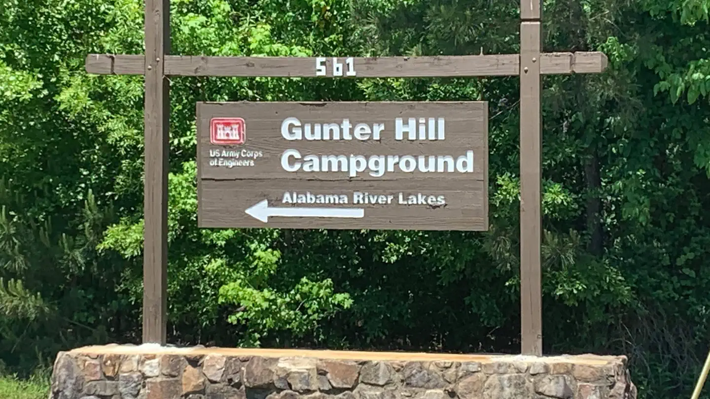
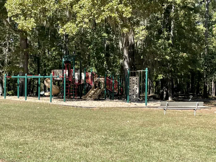
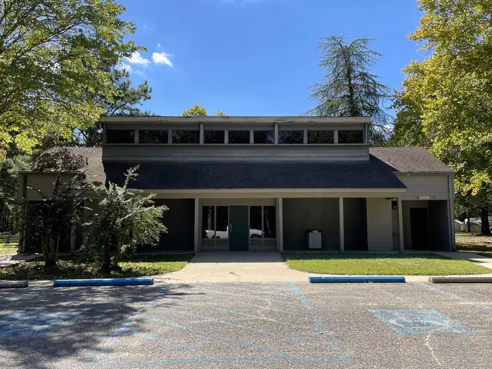
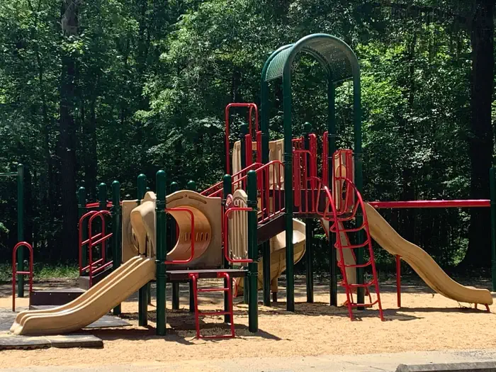
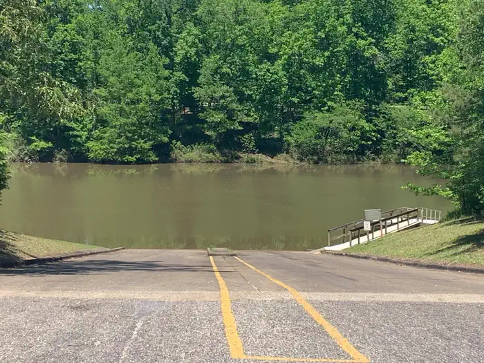
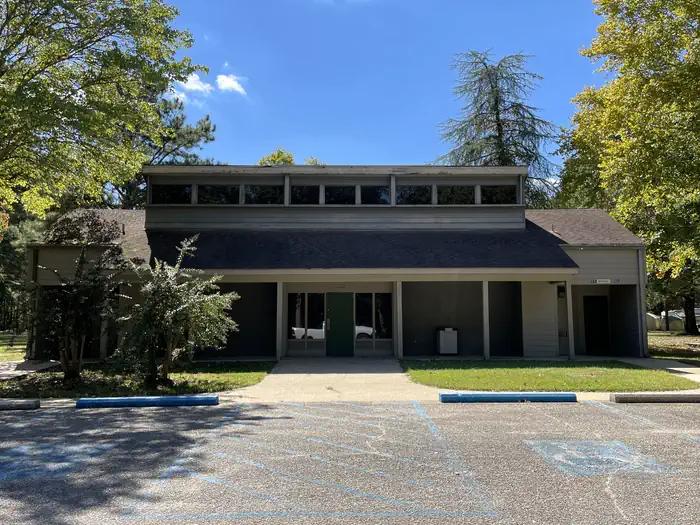
Overview Gunter Hill Campground offers a peaceful scene of trees and nature on the backwaters of the Alabama River. The fishing is excellent, providing challenges for the master angler as well as the occasional cane pole fisherman. Boating, hunting and hiking are popular activities. Recreation The area's waterways offer excellent fishing for crappie, bass and catfish. A boat ramp is provided for easy river access. The Lowndes Wildlife Management area, located nearby, covers 12,500 acres and offers prime hunting for whitetail deer, wild turkeys and hogs, and a variety of small game and waterfowl. The campground provides a basketball court and playground, offering additional recreation opportunities for visitors. Facilities This year-round campground offers 142 sites with electric hookups. Sites 1-75 are newly renovated sites and have concrete pads and sewer. Amenities include flush toilets, showers, drinking water and dump stations. A picnic shelter is provided for parties and family functions. Natural Features The campground is situated on Catoma Creek in a forest of hickory and pine. The region offers a mild climate for year-round camping.
From the managing agency.
Is GUNTER HILL free?
We do not have a fee on record for GUNTER HILL. Confirm the cost locally before you go.
How do I get to GUNTER HILL?
GUNTER HILL is at 32.3667, -86.4667. We do not hold written directions for this one, so navigate to the coordinates.
Nearby
- Holy Ground Shelters12.9 mi
- PRAIRIE CREEK (AL)17.8 mi
- SIX MILE CREEK32.3 mi
- Elm Bluff Campground40.5 mi
- Camping46.2 mi
- CHILATCHEE CREEK49.8 mi
No other services within 50 mi on the record.
SourceSource data is agency published. Last synced September 19, 2026. Community reports and photos are submitted by travelers and are not verified by the agency.
